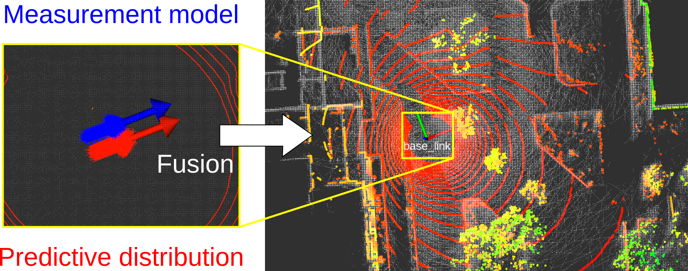
mcl3d_ros is a ROS package of 3D-LiDAR-based Monte Carlo localization (MCL) and also contains localization methods using distance-field-based optimization and extended-Kalman-filter-based fusion. The localizers work without INS such as odometry. Of course, INS can be available and it improves localization performance (current version does not support IMU).
mcl3d_ros can efficiently perform 3D-LiDAR-based MCL. To achieve it, mcl3d_ros uses measurement model optimization using a distance field and fusion of it with MCL via importance sampling. In short, mcl3d_ros uses two probabilistic distributions to sample the particles and fuses them. For more details, please refer this preprint.
@misc{akai_arxiv2023_mcl3d,
  url = {https://arxiv.org/abs/2303.00216},
  author = {Akai, Naoki},
  title = {Efficient Solution to {3D-LiDAR}-based {Monte Carlo} Localization with Fusion of Measurement Model Optimization via Importance Sampling},
  publisher = {arXiv},
  year = {2023}
}
$ cd /your/catkin_ws/src
$ git clone https://github.com/NaokiAkai/mcl3d_ros.git
$ cd /your/catkin_ws
$ catkin_make
$ source devel/setup.bash
We tested mcl3d_ros on Ubuntu 20.04 with Noetic.
Please first prepare a pcd file of your target environment and build a distance field of the pcd file.
$ roslaunch mcl3d_ros pc_to_df.launch pcd_file:=/your/pcd/file.pcd yaml_file_path:=/your/yaml/file.yaml map_file_name:=your_map_name.bin
The distance field is saved as a binary file and its parameters are saved at the given yaml file. A distance field can also be built from a point cloud published as a ROS message.
Then, localization can be executed.
$ roslaunch mcl3d_ros mcl.launch map_yaml_file:=/your/yaml/file.yaml
A configuration file for rviz is prepared in the rviz directory.
$ rviz -d rviz/mcl3d_ros.rviz
Note that other map formats are not supported currently.
There are launch files at the launch directory. Descriptions of all the parameters can be seen in the launch files.
This software is subject to the Apache 2.0 License.

