#Light Pollution Map
This repository contains:
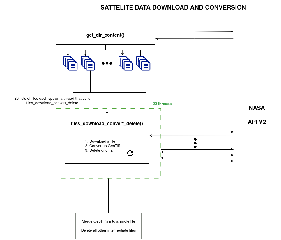
- NASA VPN64A2 API data download service, which downloads data and converts it to a GeoTIFF
- Light pollution model based on R.H. Garstang's 1989 model
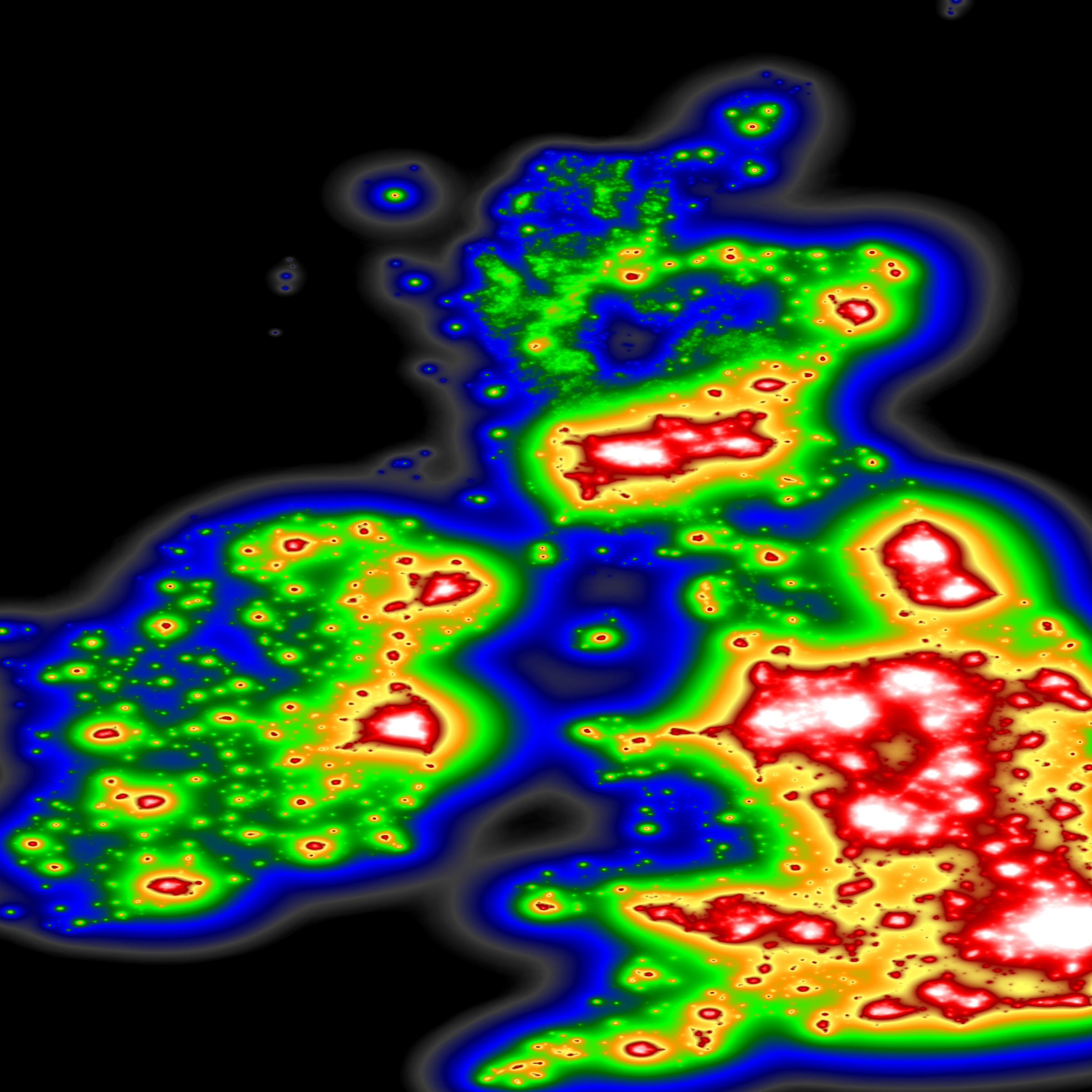
- Map generation service, which takes the GeoTIFF file and processes it by applying the light pollution model, and then applies a gradient and turns it into a PNG image. In future this will be a GeoTIFF file.
Immediate goals:
- Calibration
- Deployment


