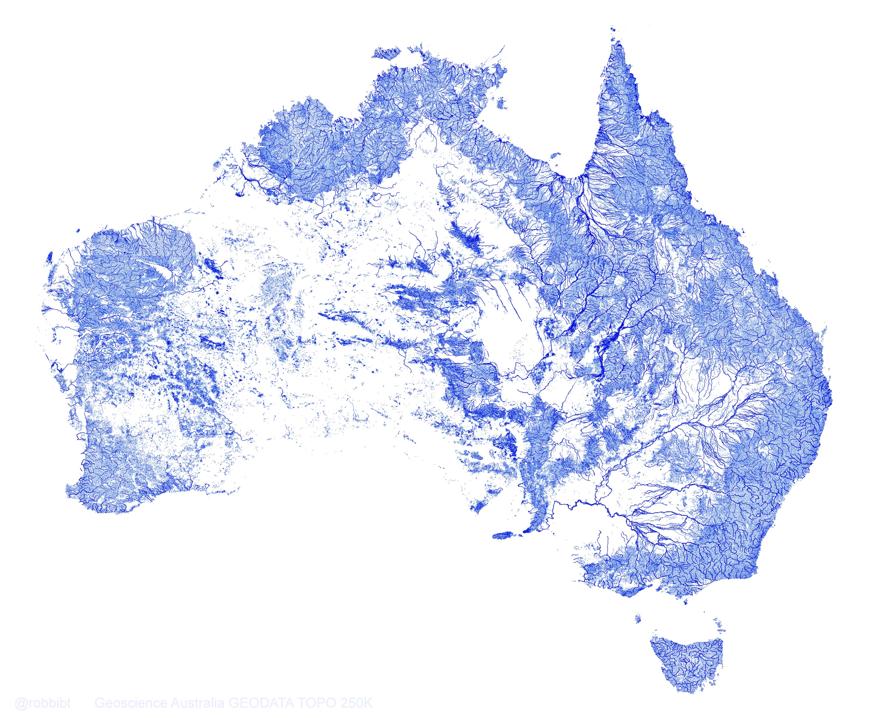
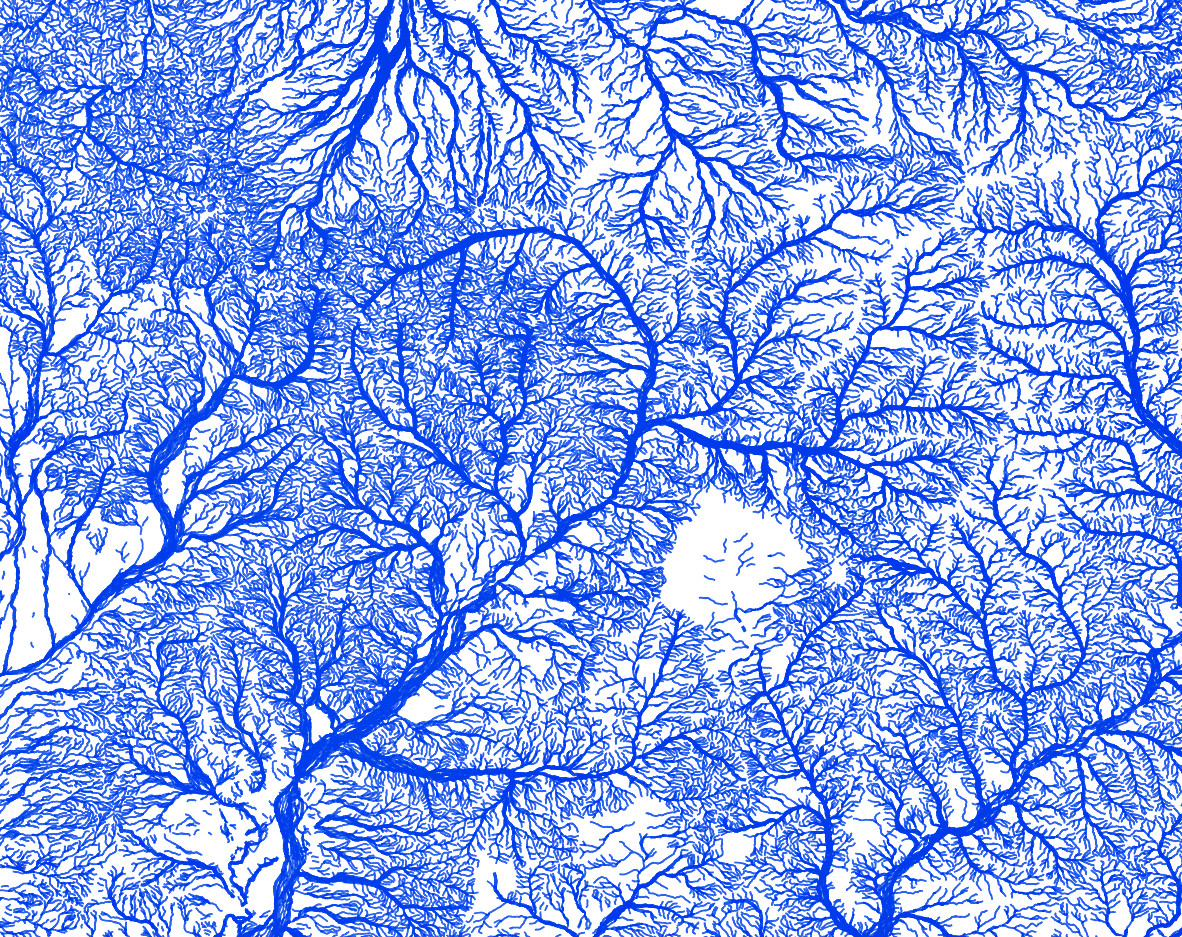
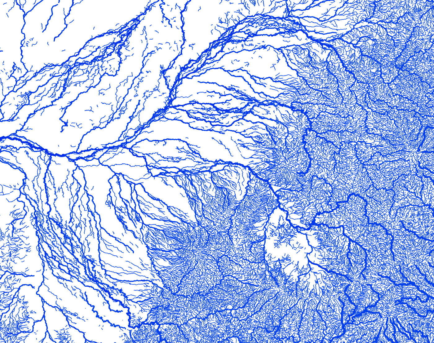
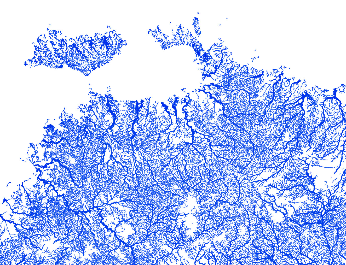
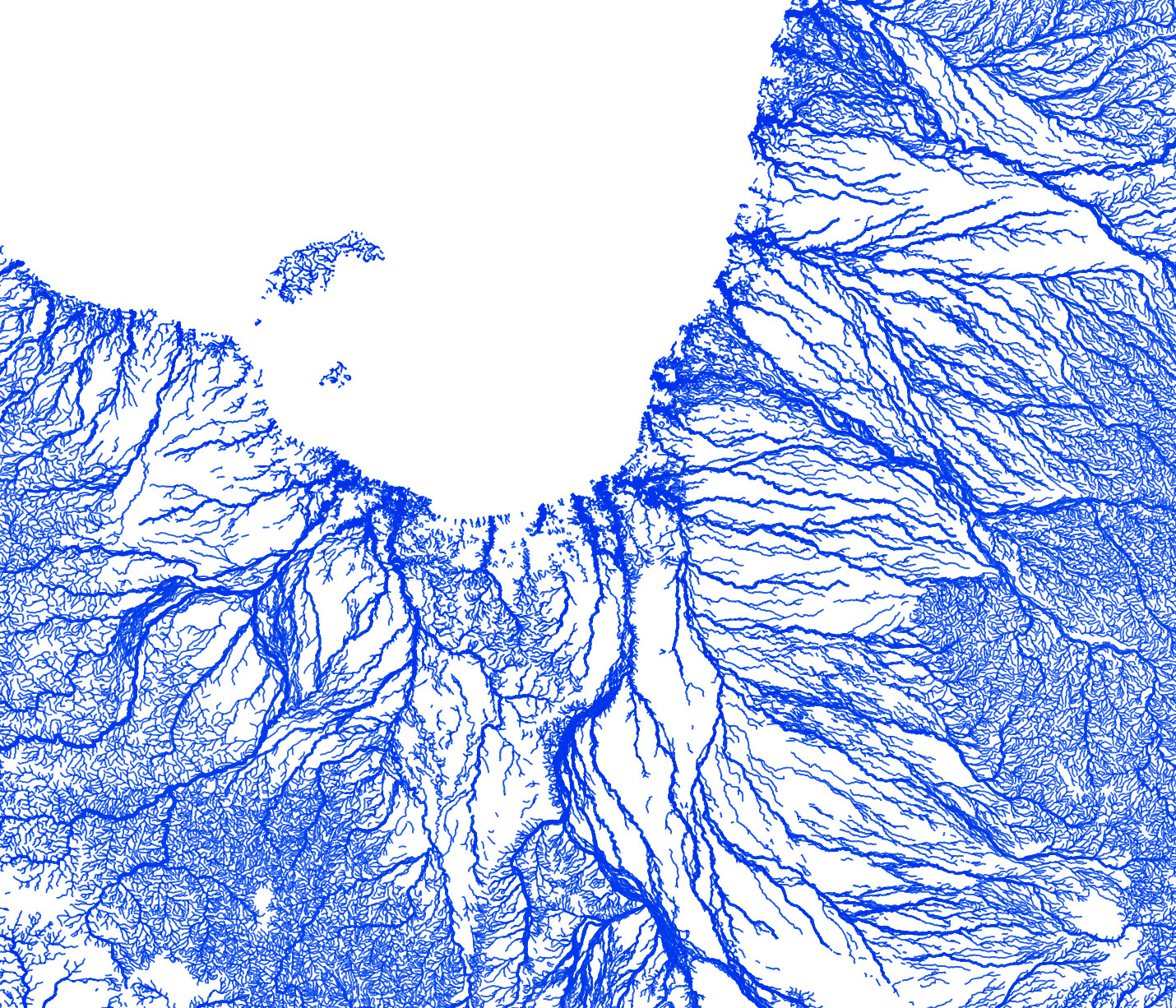
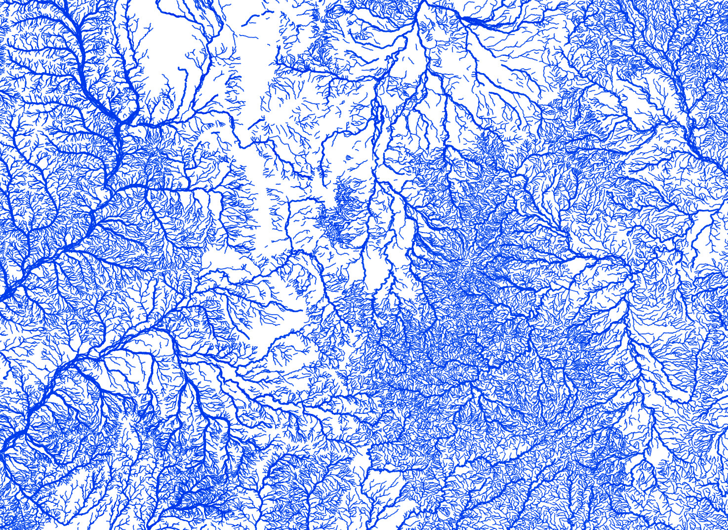
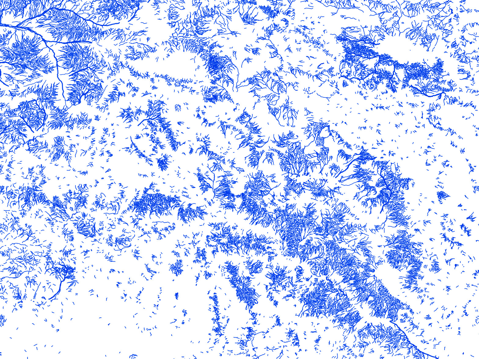
Every mapped stream and river in Australia! Map created with QGIS using data for 1.3 million streams from Geoscience Australia GEODATA TOPO 250K vector datasets. Many arid-zone rivers and streams in these maps are highly ephemeral, and may only flow once every few years or even decades. Streams are weighted by both ephemerality (perennial or non-perennial) and hierarchy (minor or major), with the highest weighting for major perennial rivers (i.e. Murray River).
Digital prints: High resolution digital prints of these maps (in lossless PNG file format suitable for printing on large canvases etc) are now available for purchase from my Etsy store!
Email: r.bishop-taylor@unsw.edu.au Twitter: @robbibt
Geoscience Australia (2006). Geodata topo 250k series 3. Geoscience Australia, Canberra. Available at http://www.ga.gov.au/metadata-gateway/metadata/record/gcat_63999 under a Creative Commons Attribution 4.0 International Licence. Full terms at https://creativecommons.org/licenses/by/4.0/.
