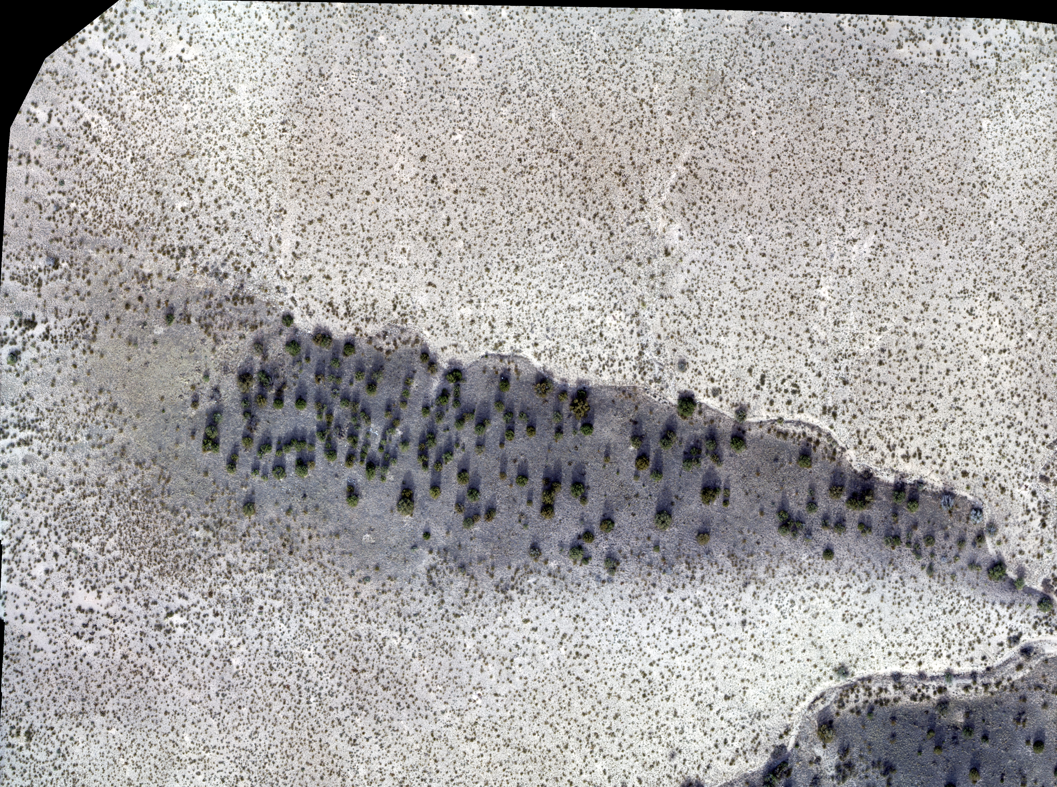
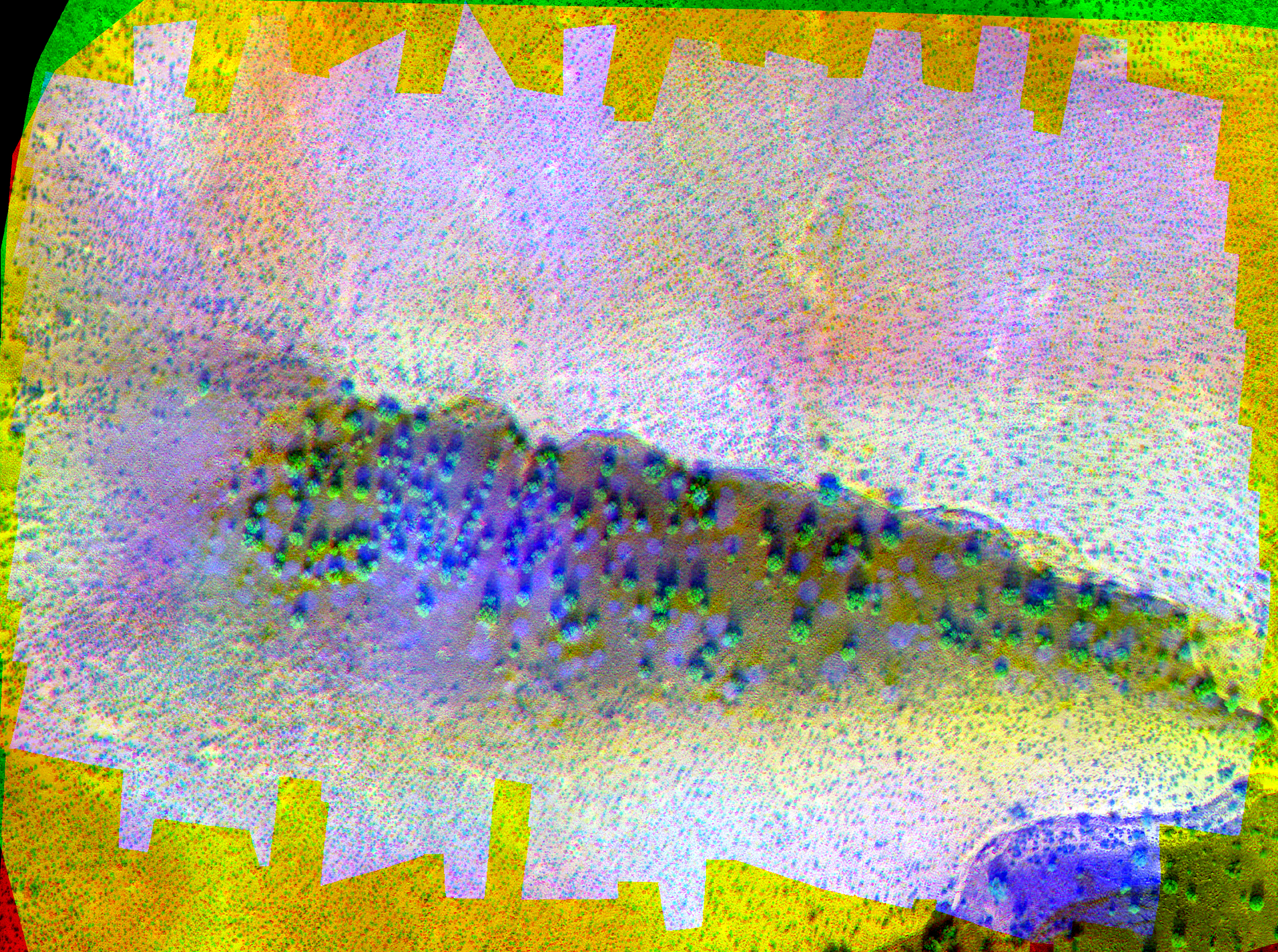
Processes drone images using the SEBAL algorithm to calculate soil saturation.
Takes two input images (and can be configred differently):
- RGB Image (where the red, green, and blue channels correspond to the red, green, and blue bands respectively captured by the drone).
- Composite Image (where the red, green, and blue channels correspond to the red, thermal, and near-infared bands respectively captured by the drone).
This program uses the latest ECMAScript standard, Tensorflow.js, and p5.js while importing, processing, exporting, and displaying images; and uses several memory-saving techniques for the proper execution of the SEBAL algorithm.
- Uses latest tensorflow.js libraries to operate on GPU hardware built for image processing.
- Uses a check-point system which recognizes the images that have been imported, and processes the code relevant to those images.
- Frequently disposes uncecessary tensors and javascript objects.
Note: due to p5.js limitations, the images being imported must be commented/uncommented where necessary; the code will handle the rest.
| Name | Image |
|---|---|
| Net Radiation (Rn) | 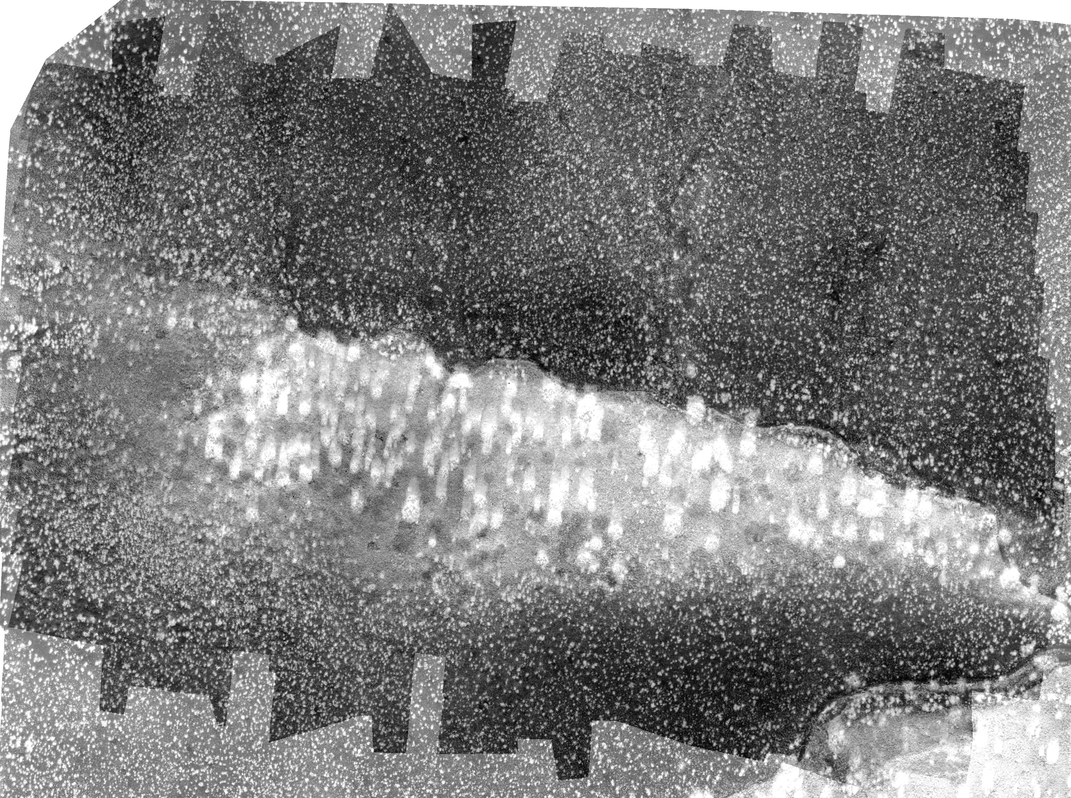 |
| Thermal Image (extracted) | 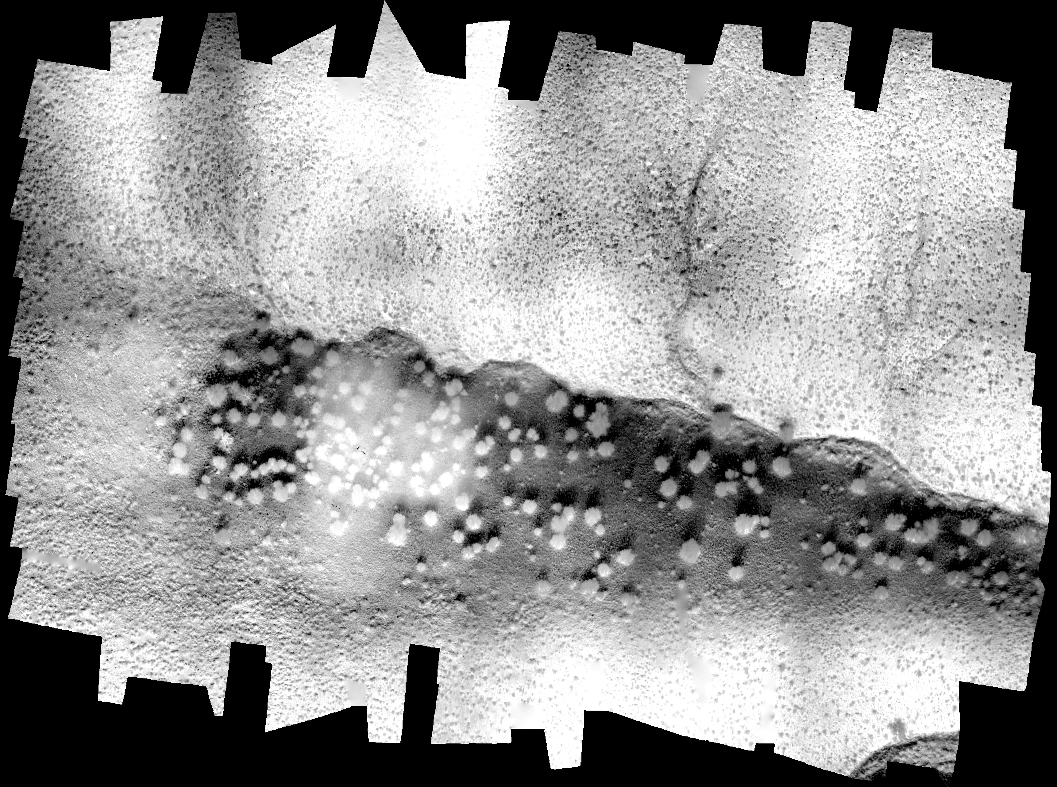 |
| Soil Flux (G) | 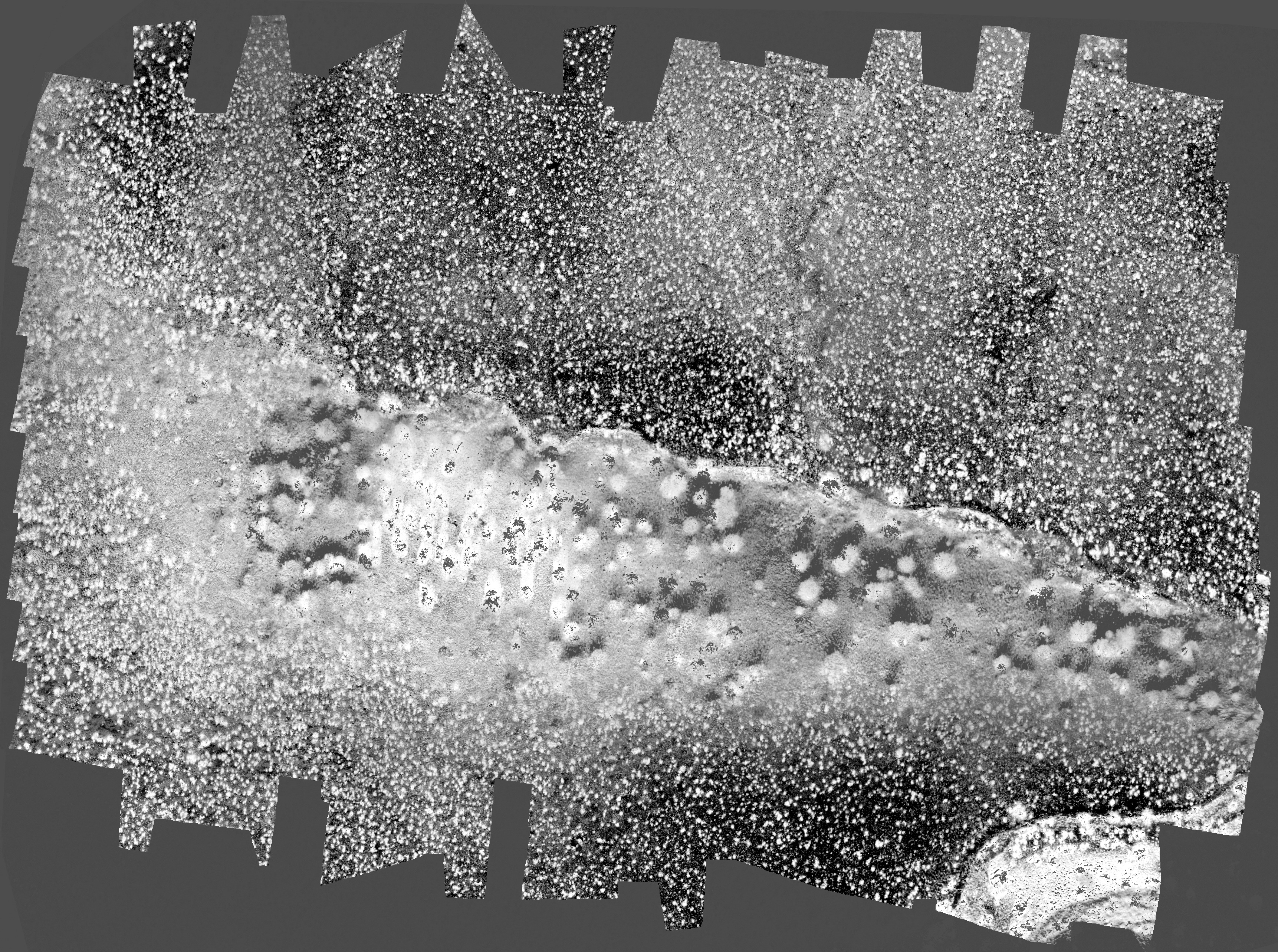 |
| Sensible Heat Flux (H) | 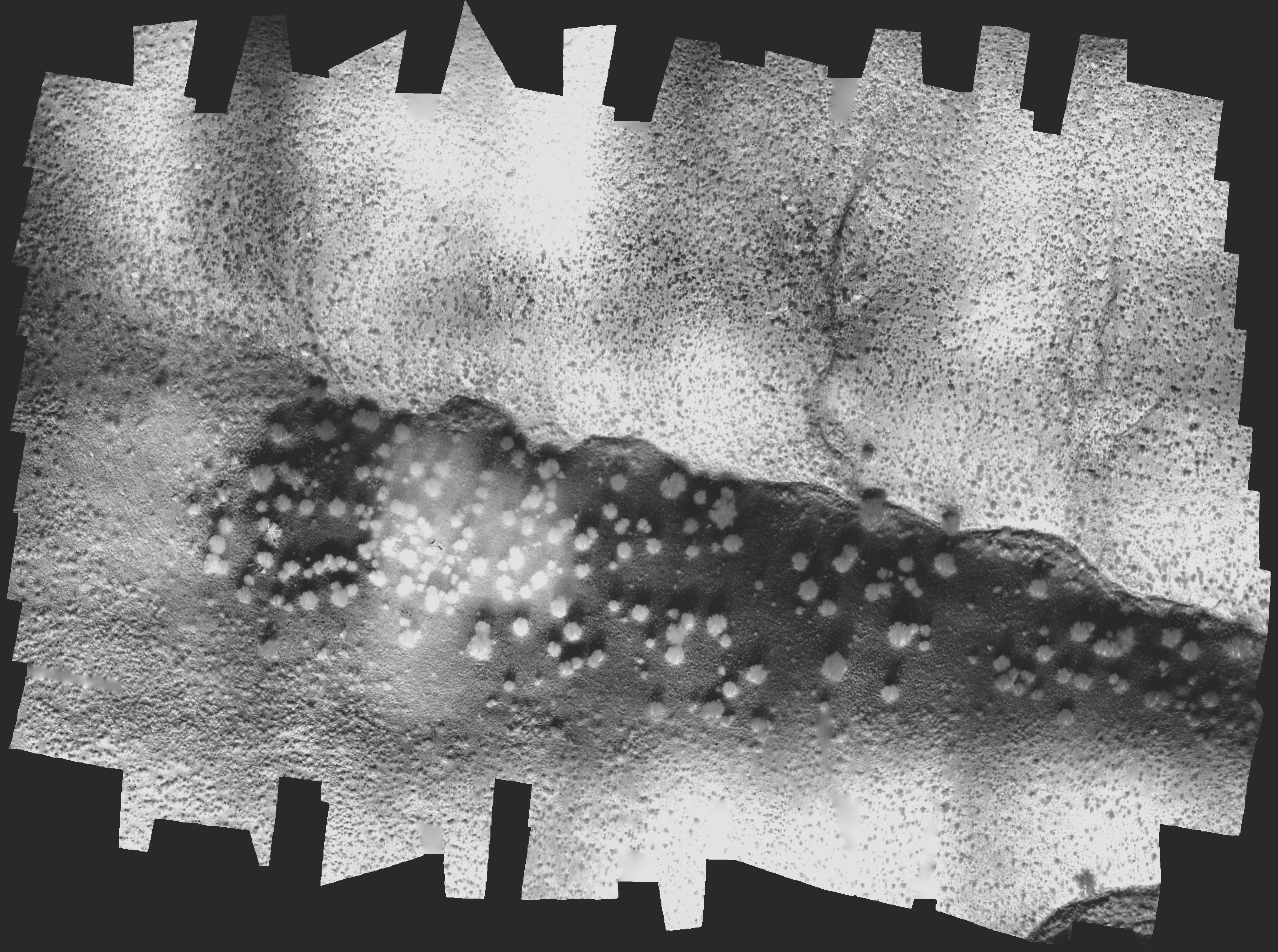 |
| Soil Saturation (S) | 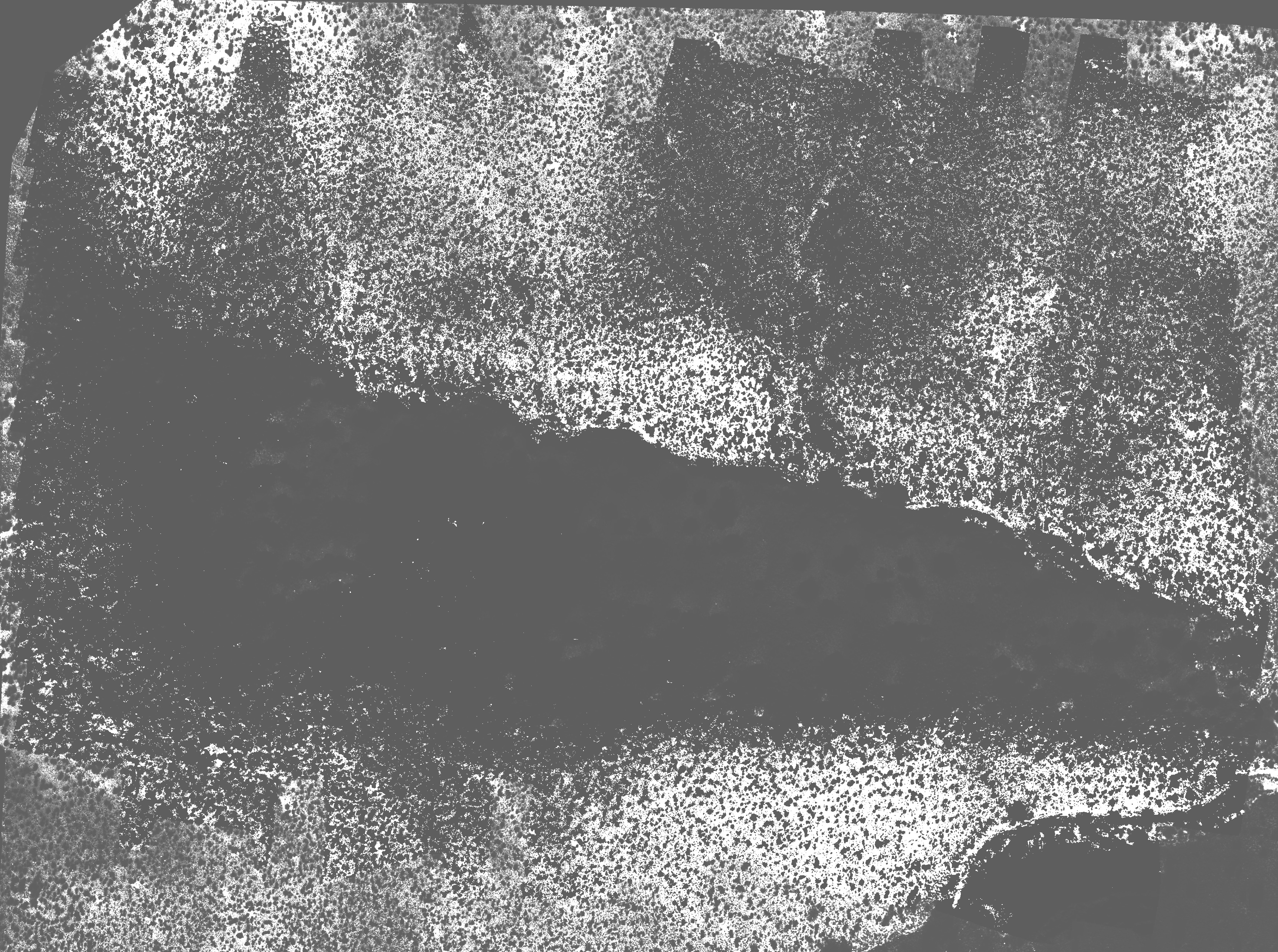 |
