This tool helps you to create a big static raster map using individual static raster tiles from mapbox that will be stitched together. You will need to use your own mapbox token. The output is indiviual tiles and and a single stitched image.
Clone this repo and run python -m main.py. You will need to have the following dependencies installed in your environment.
tqdmclickimageionumpy
python main.py --help
Usage: main.py [OPTIONS]

Options:
  --lat-min-deg FLOAT     Minimum latitude in degrees  [required]
  --lat-max-deg FLOAT     Maximum latitude in degrees  [required]
  --lon-min-deg FLOAT     Minimum longitude in degrees  [required]
  --lon-max-deg FLOAT     Maximum longitude in degrees  [required]
  --width-px INTEGER      Width of the resulting image in pixels  [required]
  -o, --output-dir TEXT   Where the output will be stored  [required]
  --mapbox-style-id TEXT  Mapbox style id
                          (https://docs.mapbox.com/api/maps/styles/)

  --mapbox-token TEXT     Token for mapbox API used to query the tiles
                          [required]

  --high-resolution       Render at 2x resolution
  --help                  Show this message and exit.
Output dir given by --output-dir argument will be created if it doesn't exist.
It will contain files x_y_zoom.jpg for each downloaded tile and special file result.jpg with all tiles stiched together. Each tile is of size 256x256px. If you specify --high-resolution, each tile will have size 512x512px
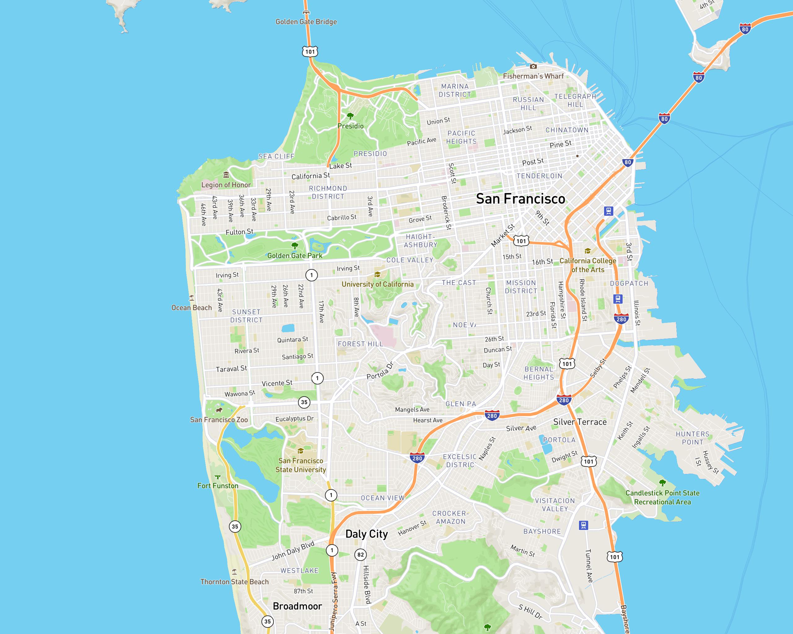
This example downloads and stitches a map of SF.
python main.py \
--lat-min-deg 37.71799332543959 \
--lat-max-deg 37.816536359019565 \
--lon-min-deg -122.54354774871872 \
--lon-max-deg -122.35315469914812 \
--width-px 1000 \
--output-dir sf_map \
--mapbox-token {YOUR_MAPBOX_TOKEN} \
--high-resolution