Fill out examples of using rasterio to handle tasks from typical GIS and remote sensing workflows.
The Rasterio cookbook is intended to provide in-depth examples of rasterio usage that are not covered by the basic usage in the User's Manual. Before using code from the cookbook, you should be familiar with the basic usage of rasterio; see "Reading Datasets", "Working with Datasets" and "Writing Datasets" to brush up on the fundamentals.
recipes/band_summary_stats.py
$ python recipes/band_summary_stats.py
[{'max': 255, 'mean': 29.94772668847656, 'median': 13.0, 'min': 0},
 {'max': 255, 'mean': 44.516147889382289, 'median': 30.0, 'min': 0},
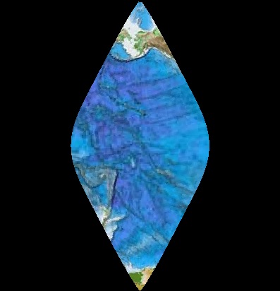
{'max': 255, 'mean': 48.113056354742945, 'median': 30.0, 'min': 0}]Reproject to a Transverse Mercator projection, Hawaii zone 3 (ftUS), aka EPSG code 3759.
recipes/reproject.py
$ python recipes/reproject.pyThe original image
Warped to EPSG:3759. Notice that the bounds are constrained to the new projection's valid region (CHECK_WITH_INVERT_PROJ=True on line 13) and the new raster is wrapped seamlessly across the anti-meridian.
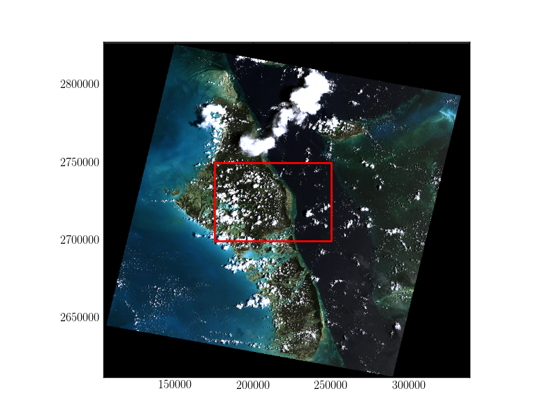
Using rasterio with fiona, we can open a shapefile, read geometries, and mask out regions of a raster that are outside the polygons defined in the shapefile.
This shapefile contains a single polygon, a box near the center of the raster, so in this case, our list of geometries is one element long.
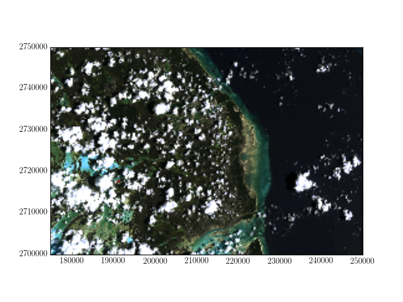
Applying the features in the shapefile as a mask on the raster sets all pixels outside of the features to be zero. Since crop=True in this example, the extent of the raster is also set to be the extent of the features in the shapefile.
We can then use the updated spatial transform and raster height and width to write the masked raster to a new file.
recipes/mask_shp.py
$ python recipes/mask_shp.pyThe original image with the shapefile overlayed
Masked and cropped to the geometry
This recipe demonstrates scipy's signal processing filters to manipulate multi-band raster imagery and save the results to a new GeoTIFF. Here we apply a median filter to smooth the image and remove small inclusions (at the expense of some sharpness and detail).
recipes/filter.py
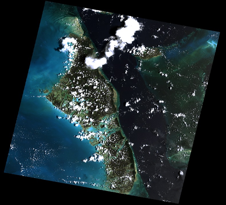
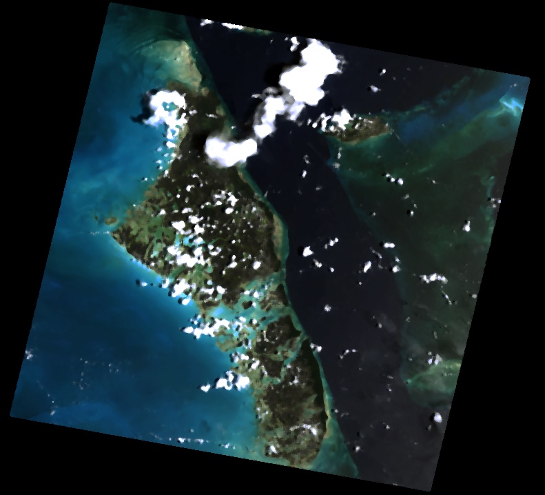
$ python recipes/filter.pyThe original image
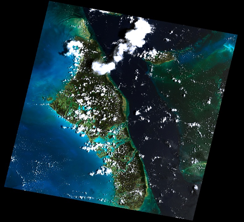
With median filter applied
This recipe demonstrates manipulating color with the scikit image color module.
recipes/saturation.py
$ python recipes/saturation.pyThe original image
With increased saturation
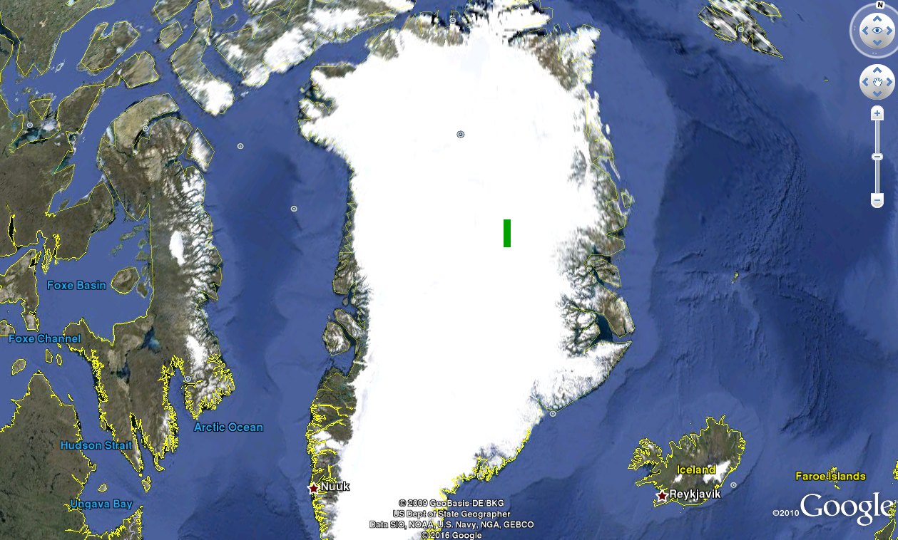
A raster can be converted to a KMZ and opened in Google Earth using rasterio to access the raster metadata. Executing
$ python recipes/raster_to_kmz.pycreates the file green_box.tif, which is a green image that extends from longitude -36 to -35 and latitude 74 to 75 in EPSG:4326 projection, and then embeds this raster in a KMZ file green_box.kmz. In Google Earth, we can see the box inside Greenland (screenshot below).

