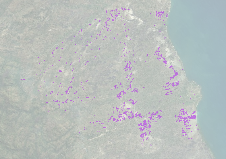
These script can be used to transform High Resolution Settlement Layer (HRSL) "Facebook" data into polygons for creating HOTOSM tasks to map buildings.
Information and data about the HRSL project can be found here: https://ciesin.columbia.edu/data/hrsl/
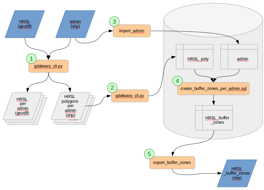
Unfortunately I did not manage to convert the data using just one system or programming language. So to run the entire conversion there are a few steps:
- Download the hrsl geotiff and an admin shapefile
- Clip hrsl raster into smaller rasters by admin areas
- Polygonize smaller rasters into shapefiles
- Import shapefiles into PostgreSQL database
- Buffer, union and intersect data
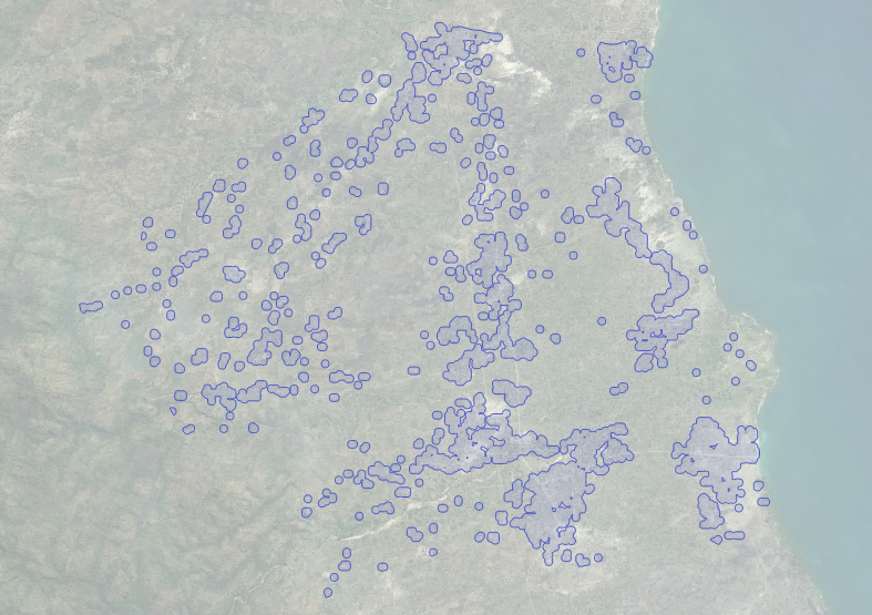
The result is a PostgreSQL table containing 40m buffered polygons of the cells
marked by HRSL as "containing buildings". The pcode field contains a unique
value for the admin area the polygons belongs to. The name field contains the
real name of the admin area. This table can be exported to a shapefile.
This is an example for Malawi.
HRSL: https://ciesin.columbia.edu/data/hrsl/hrsl_mwi_v1.zip
Administrative areas: https://data.humdata.org/dataset/malawi-admin-level-3-boundaries


