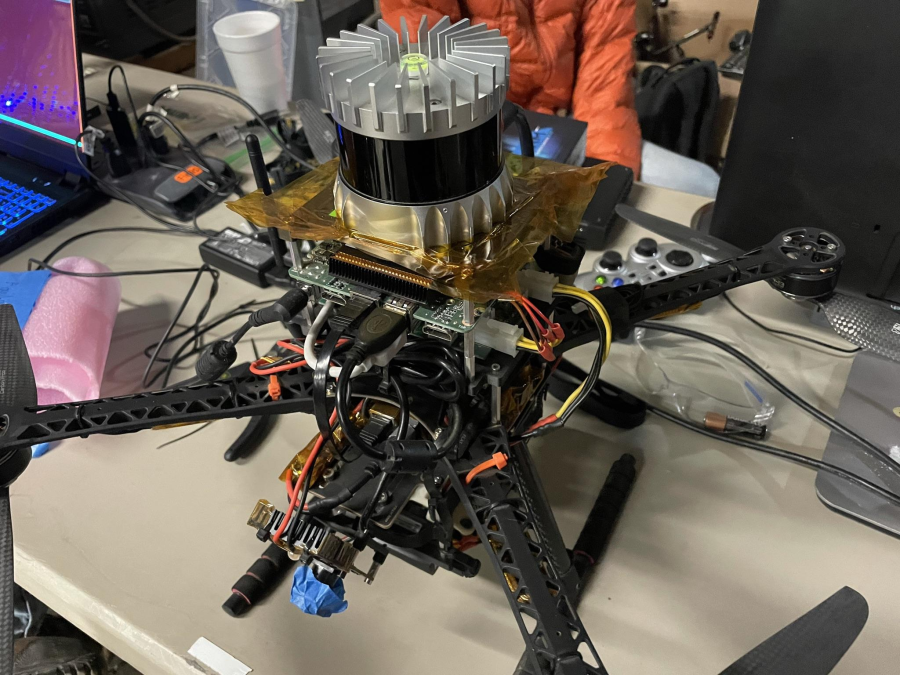
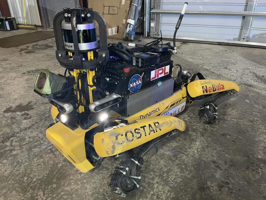
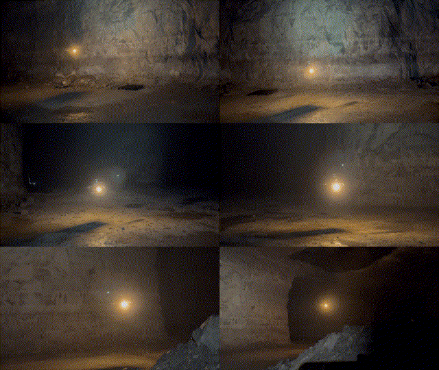
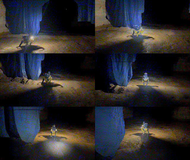
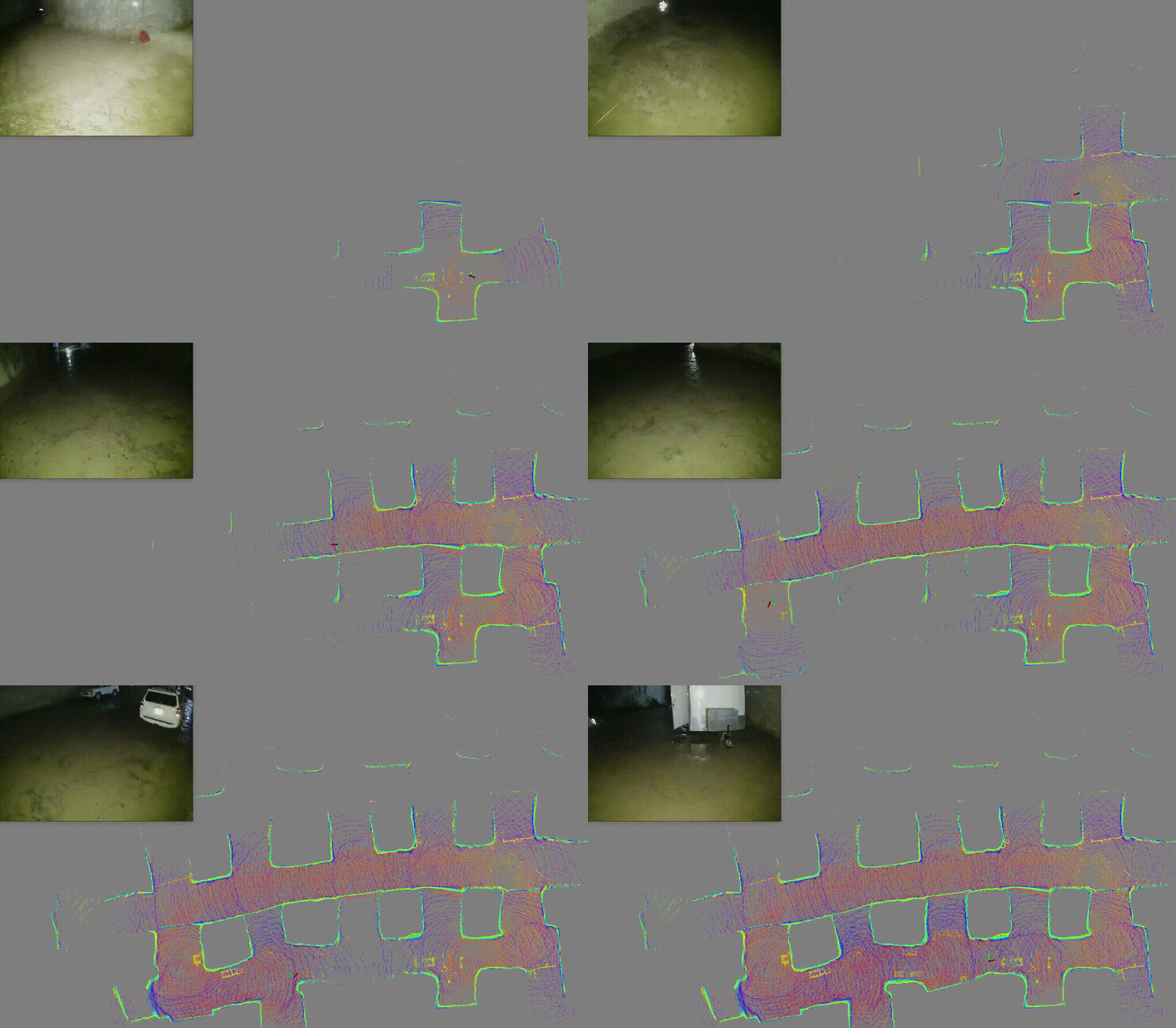
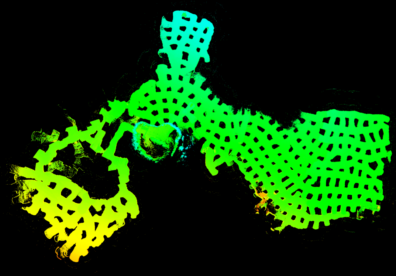
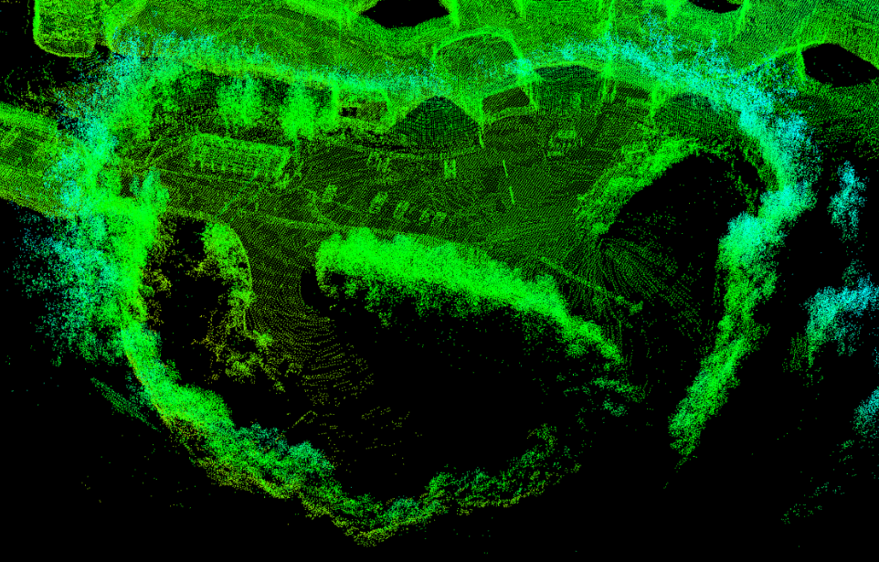
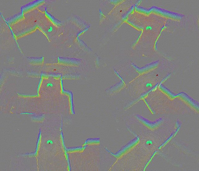
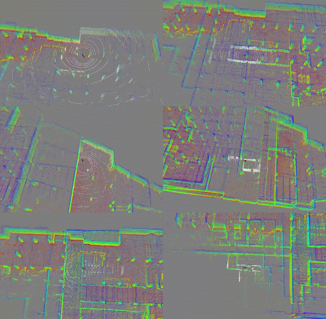
DLO is a lightweight and computationally-efficient frontend LiDAR odometry solution with consistent and accurate localization. It features several algorithmic innovations that increase speed, accuracy, and robustness of pose estimation in perceptually-challenging environments and has been extensively tested on aerial and legged robots.
This work was part of NASA JPL Team CoSTAR's research and development efforts for the DARPA Subterranean Challenge, in which DLO was the primary state estimation component for our fleet of autonomous aerial vehicles.
DLO requires an input point cloud of type sensor_msgs::PointCloud2 with an optional IMU input of type sensor_msgs::Imu. Note that although IMU data is not required, it can be used for initial gravity alignment and will help with point cloud registration.
Our system has been tested extensively on both Ubuntu 18.04 Bionic with ROS Melodic and Ubuntu 20.04 Focal with ROS Noetic, although other versions may work. The following configuration with required dependencies has been verified to be compatible:
- Ubuntu 18.04 or 20.04
- ROS Melodic or Noetic (
roscpp,std_msgs,sensor_msgs,geometry_msgs,pcl_ros) - C++ 14
- CMake >=
3.16.3 - OpenMP >=
4.5 - Point Cloud Library >=
1.10.0 - Eigen >=
3.3.7
Installing the binaries from Aptitude should work though:
sudo apt install libomp-dev libpcl-dev libeigen3-dev
Create a catkin workspace, clone the direct_lidar_odometry repository into the src folder, and compile via the catkin_tools package (or catkin_make if preferred):
mkdir ws && cd ws && mkdir src && catkin init && cd src
git clone https://github.com/vectr-ucla/direct_lidar_odometry.git
catkin build
After sourcing the workspace, launch the DLO odometry and mapping ROS nodes via:
roslaunch direct_lidar_odometry dlo.launch \
  pointcloud_topic:=/robot/velodyne_points \
  imu_topic:=/robot/vn100/imu
Make sure to edit the pointcloud_topic and imu_topic input arguments with your specific topics. If an IMU is not being used, set the dlo/imu ROS param to false in cfg/dlo.yaml. However, if IMU data is available, please allow DLO to calibrate and gravity align for three seconds before moving. Note that the current implementation assumes that LiDAR and IMU coordinate frames coincide, so please make sure that the sensors are physically mounted near each other.
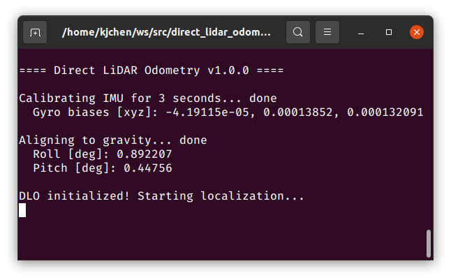
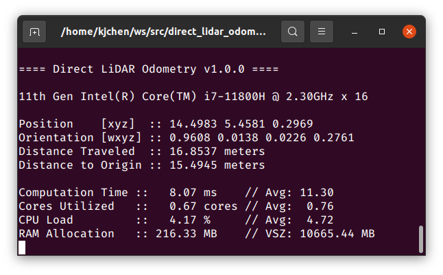
If successful, RViz will open and you will see similar terminal outputs to the following:
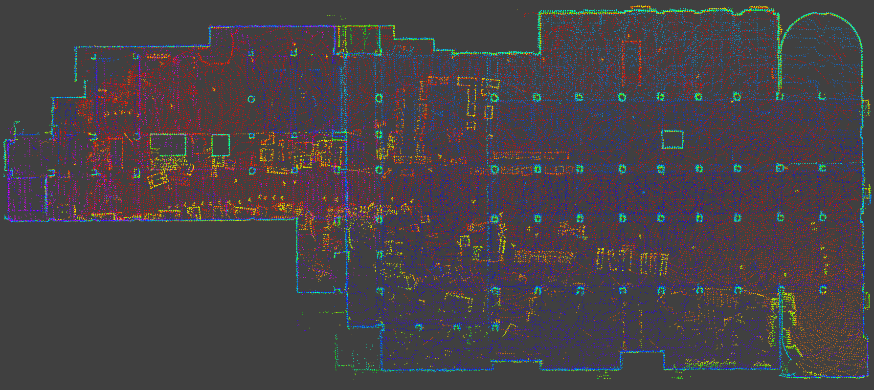
To save DLO's generated map into .pcd format, call the following service:
rosservice call /robot/dlo_map/save_pcd LEAF_SIZE SAVE_PATH
For your convenience, we provide example test data here (9 minutes, ~4.2GB). To run, first launch DLO (with default point cloud and IMU topics) via:
roslaunch direct_lidar_odometry dlo.launch
In a separate terminal session, play back the downloaded bag:
rosbag play dlo_test.bag
If you found this work useful, please cite our manuscript:
@article{chen2022direct,
  author={Chen, Kenny and Lopez, Brett T. and Agha-mohammadi, Ali-akbar and Mehta, Ankur},
  journal={IEEE Robotics and Automation Letters},
  title={Direct LiDAR Odometry: Fast Localization With Dense Point Clouds},
  year={2022},
  volume={7},
  number={2},
  pages={2000-2007},
  doi={10.1109/LRA.2022.3142739}
}
We thank the authors of the FastGICP and NanoFLANN open-source packages:
- Kenji Koide, Masashi Yokozuka, Shuji Oishi, and Atsuhiko Banno, “Voxelized GICP for Fast and Accurate 3D Point Cloud Registration,” in IEEE International Conference on Robotics and Automation (ICRA), IEEE, 2021, pp. 11 054–11 059.
- Jose Luis Blanco and Pranjal Kumar Rai, “NanoFLANN: a C++ Header-Only Fork of FLANN, A Library for Nearest Neighbor (NN) with KD-Trees,” https://github.com/jlblancoc/nanoflann, 2014.
This work is licensed under the terms of the MIT license.
