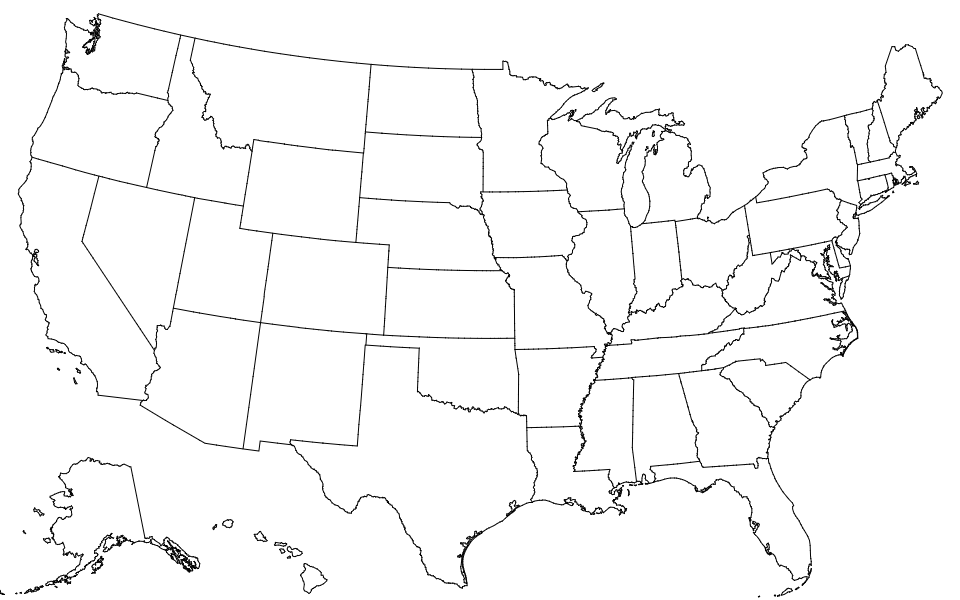
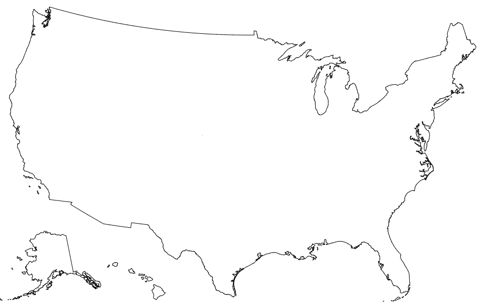
This repository provides a convenient redistribution of the Census Bureau’s cartographic boundary shapefiles, 2017 edition as TopoJSON. For earlier editions, see past releases. Both projected and unprojected geometries are included. The projection used by these files is:
d3.geoAlbersUsa().scale(1300).translate([487.5, 305])This is a conic equal-area Albers projection suitable for choropleth maps and designed to fit a 975×610 viewport.
In a browser, using d3-geo and SVG:
https://observablehq.com/@d3/u-s-map
In a browser, using d3-geo and Canvas:
https://observablehq.com/@d3/u-s-map-canvas
In Node, using d3-geo and node-canvas:
https://bl.ocks.org/mbostock/885fffe88d72b2a25c090e0bbbef382f
# counties-10m.json · Download
A TopoJSON file containing the geometry collections counties, states, and nation. The geometry is quantized and simplified, but not projected. This topology is derived from the Census Bureau’s cartographic county boundaries, 2017 edition. The state boundaries are computed by merging counties, and the nation boundary is computed by merging states, ensuring a consistent topology.
# counties-albers-10m.json · Download
A TopoJSON file containing the geometry collections counties, states, and nation. The geometry is quantized, projected using d3.geoAlbersUsa to fit a 975×610 viewport, and simplified. This topology is derived from the Census Bureau’s cartographic county boundaries, 2017 edition. The state boundaries are computed by merging counties, and the nation boundary is computed by merging states, ensuring a consistent topology.
A TopoJSON file containing the geometry collections states and nation. The geometry is quantized and simplified, but not projected. This topology is derived from the Census Bureau’s cartographic state boundaries, 2017 edition. The nation boundary is computed by merging states, ensuring a consistent topology.
# states-albers-10m.json · Download
A TopoJSON file containing the geometry collections states and nation. The geometry is quantized, projected using d3.geoAlbersUsa to fit a 975×610 viewport, and simplified. This topology is derived from the Census Bureau’s cartographic state boundaries, 2017 edition. The nation boundary is computed by merging states, ensuring a consistent topology.
A TopoJSON file containing the geometry collection nation. The geometry is quantized and simplified, but not projected. This topology is derived from the Census Bureau’s cartographic nation boundary, 2017 edition.
# nation-albers-10m.json · Download
A TopoJSON file containing the geometry collection nation. The geometry is quantized, projected using d3.geoAlbersUsa to fit a 975×610 viewport, and simplified. This topology is derived from the Census Bureau’s cartographic nation boundary, 2017 edition.
# us.objects.counties
Each county has two fields:
- county.id - the five-digit FIPS county code, such as
"06069" - county.properties.name - the county name, such as
"San Benito"
The first two digits of the county FIPS code is the state FIPS code.
# us.objects.states
Each state has two fields:
- state.id - the two-digit FIPS state code, such as
"06" - state.properties.name - the state name, such as
"California"
# us.objects.nation
The nation has two fields:
- nation.id - the string
"US" - nation.properties.name - the string
"United States"


