This repository contains a Python script (Jupyter notebook) implementing extraction of street blocks from OpenStreetMap (or other sources of vectorial data) using PostGis.
This code was published belong to the following paper:
Grippa & al. Mapping Urban Land Use at Street Block Level Using OpenStreetMap, Remote Sensing Data, and Spatial Metrics. ISPRS Int. J. Geo-Inf. 2018, 7, 246. doi:10.3390/ijgi7070246
Please use the following DOI for citing this code:
The code provided in this repository could be combined with the one provided in https://github.com/tgrippa/Street_blocks_features_computation, to reproduce the aforementioned research.
The general workflow is as follow:

-
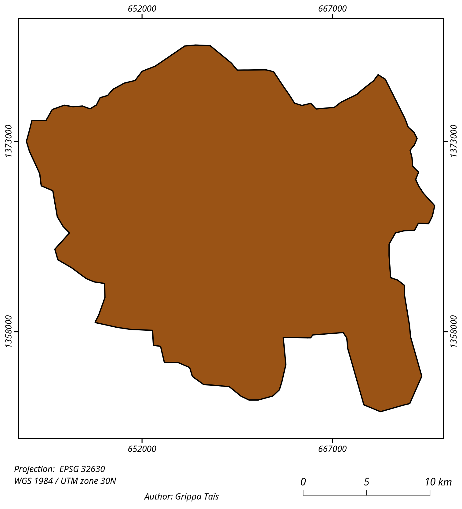
Input of the AOI as a polygon
-
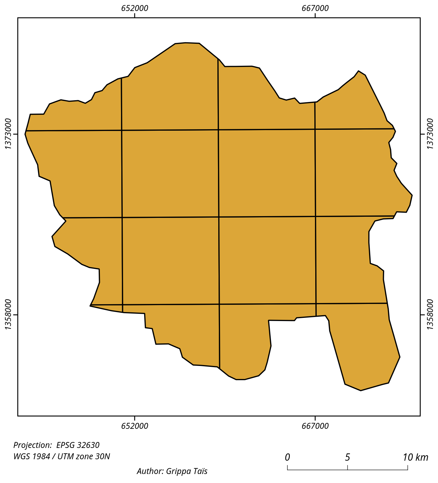
Creation of tiles for download of OSM data
-
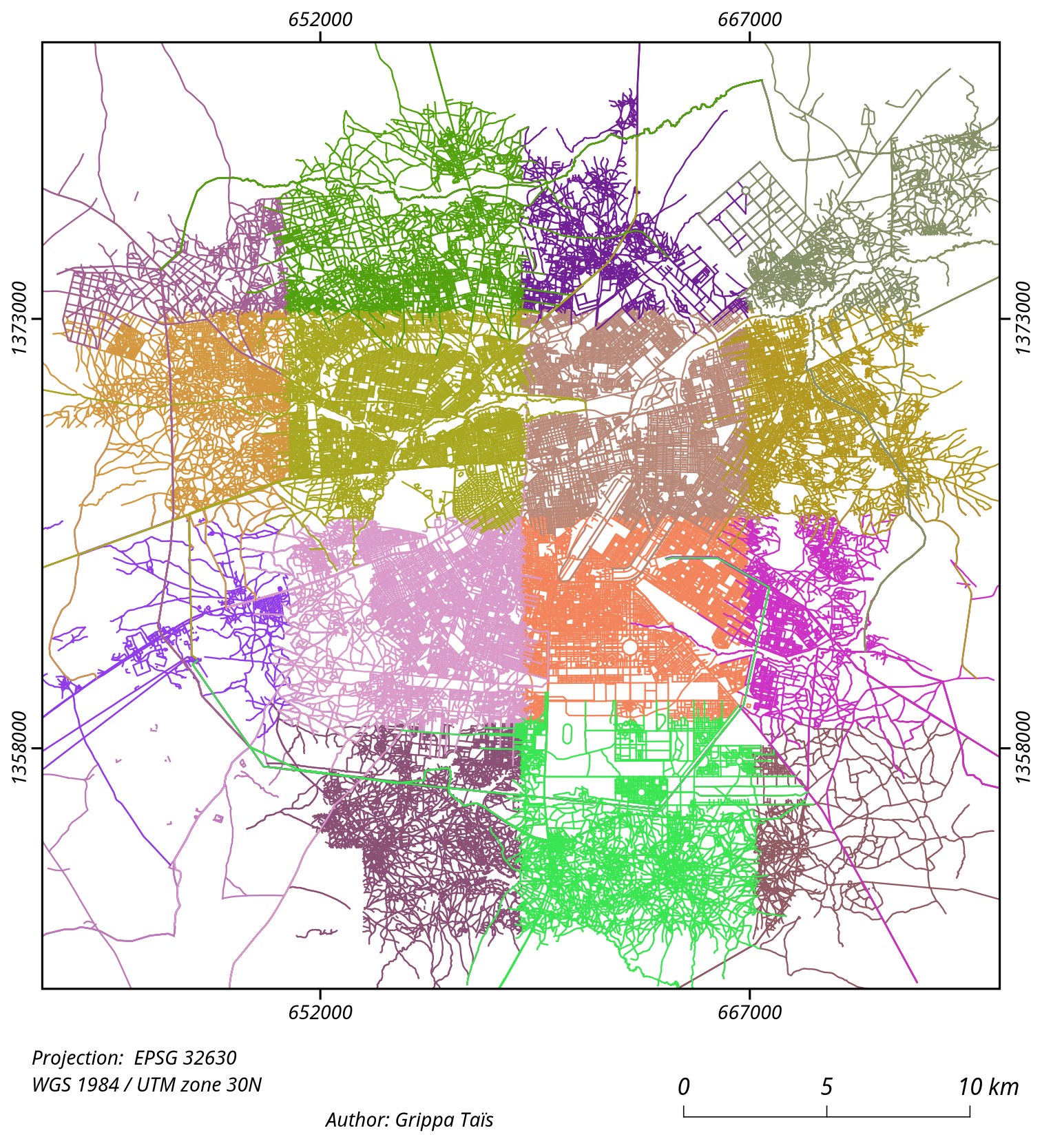
Linestrings extracted from OSM
-
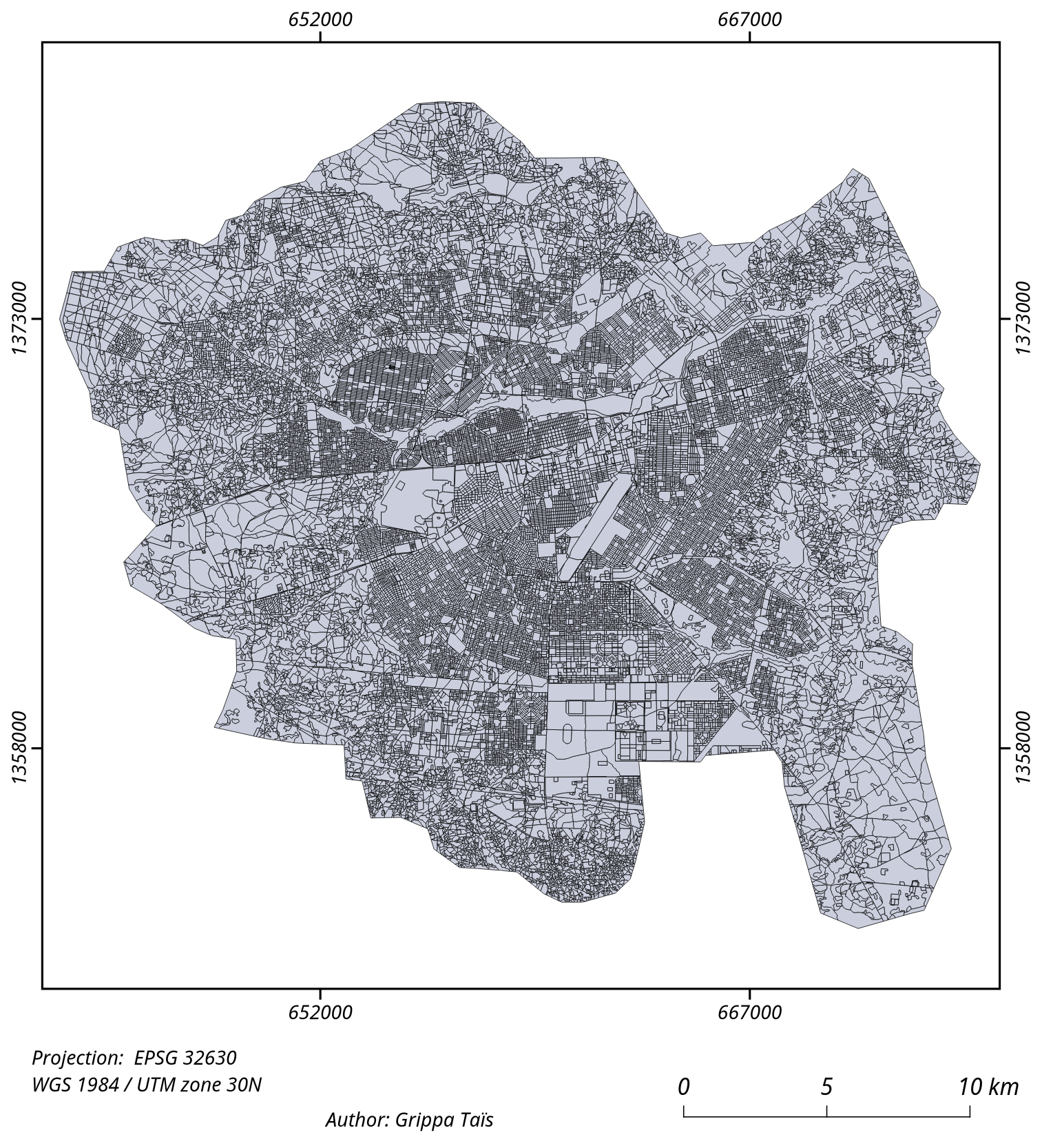
Extraction of street blocks polygons from linestrings
-
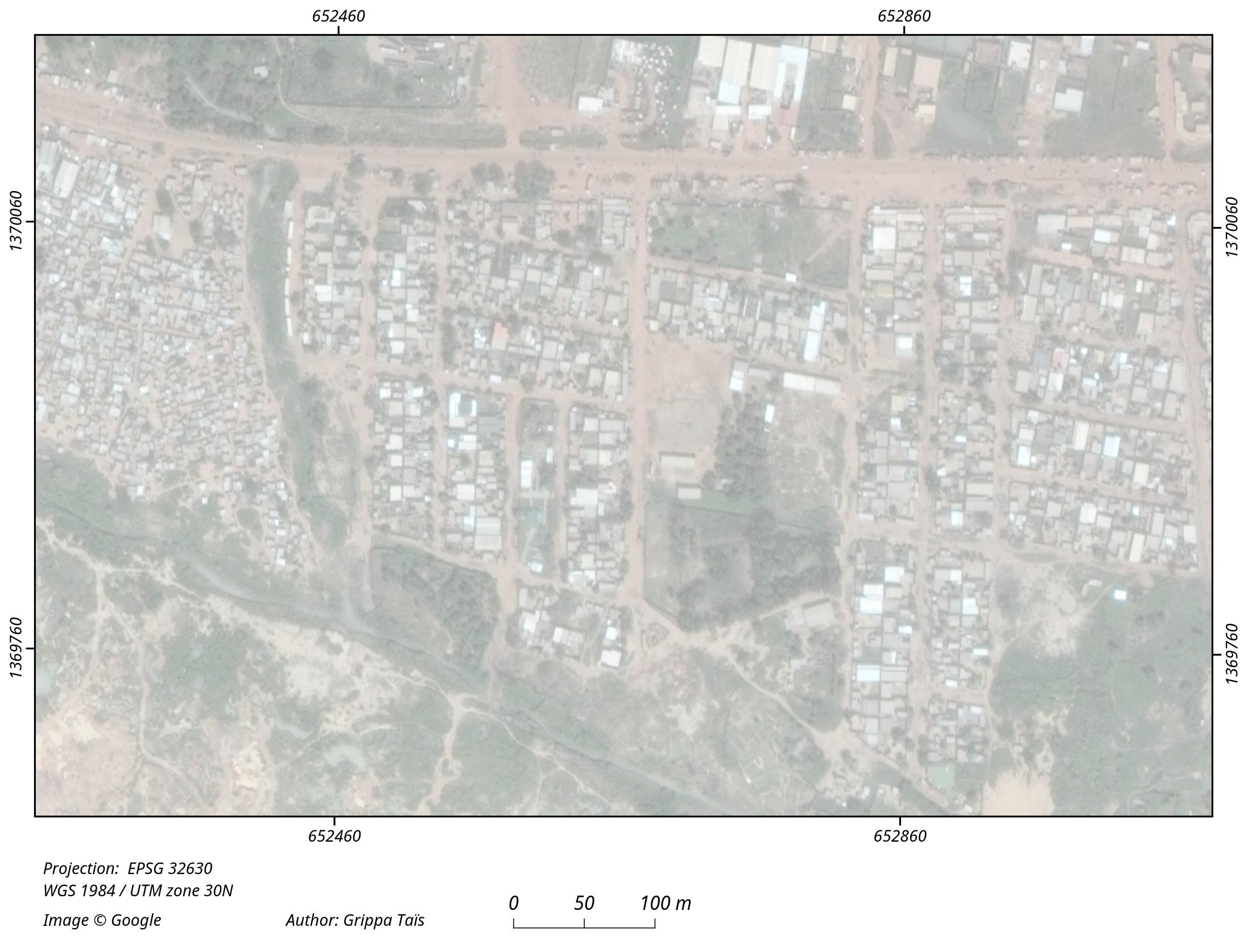
Optical image
-
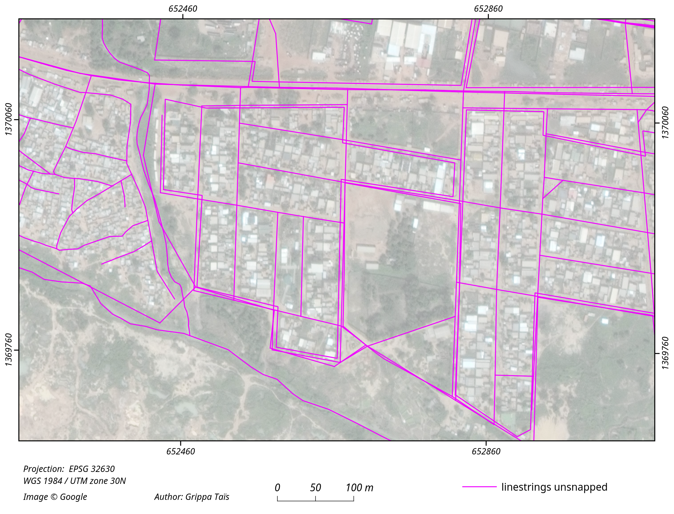
Linestrings before snapping using PostGis topology
-
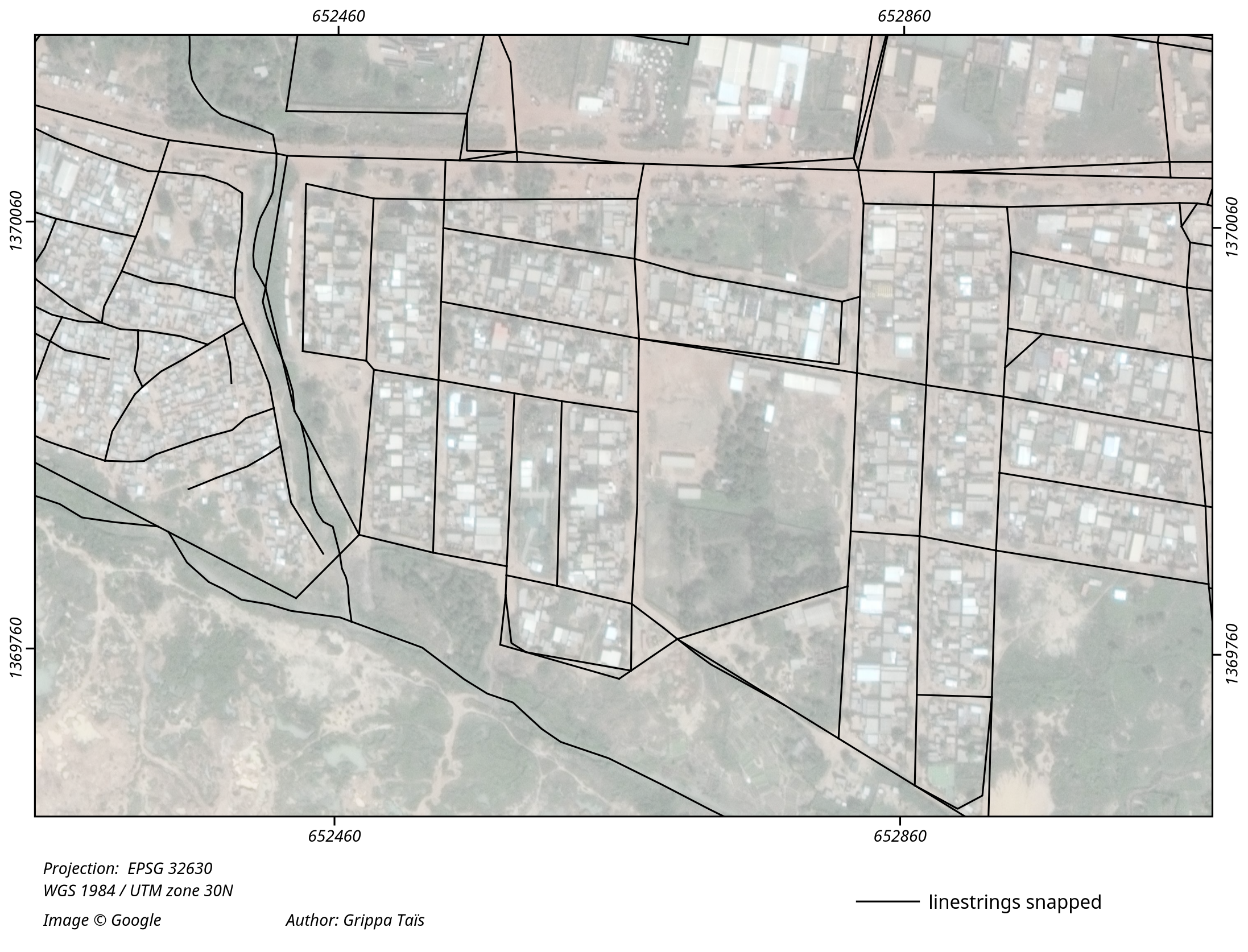
Linestrings snapped (using PostGis topology)
-
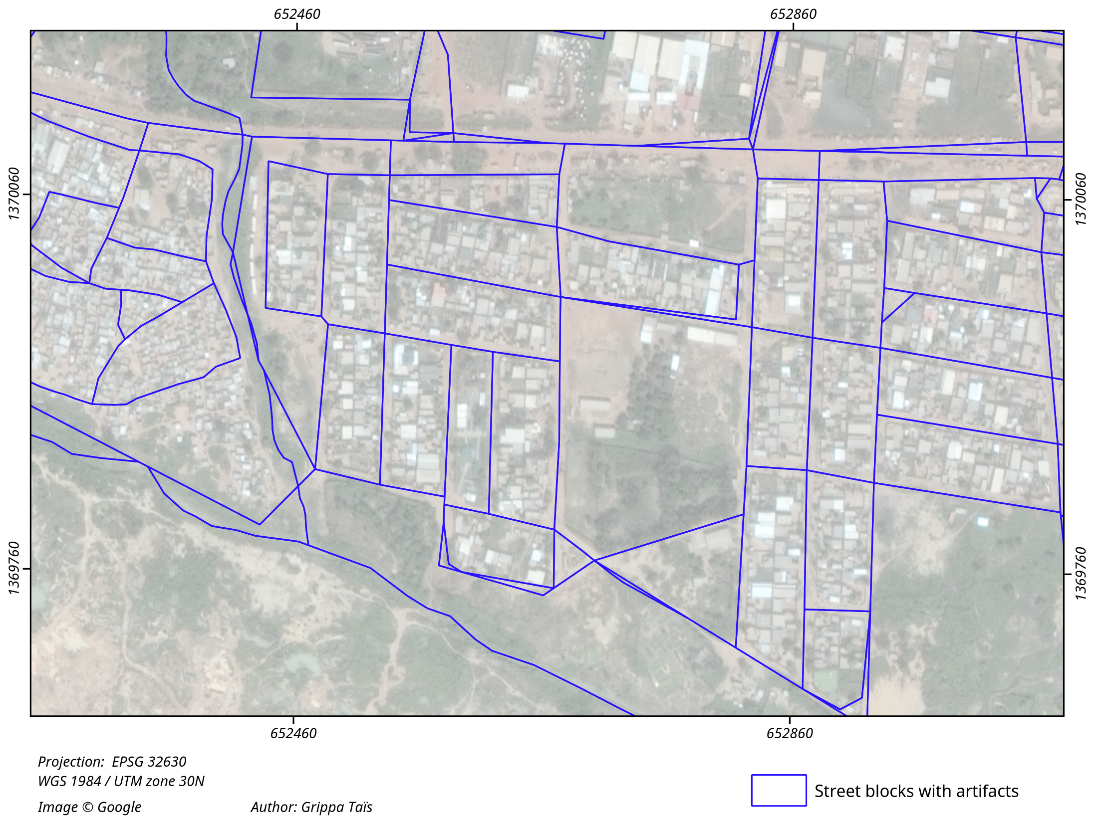
Initial extraction of street blocks - Presence of artifacts polygons
-
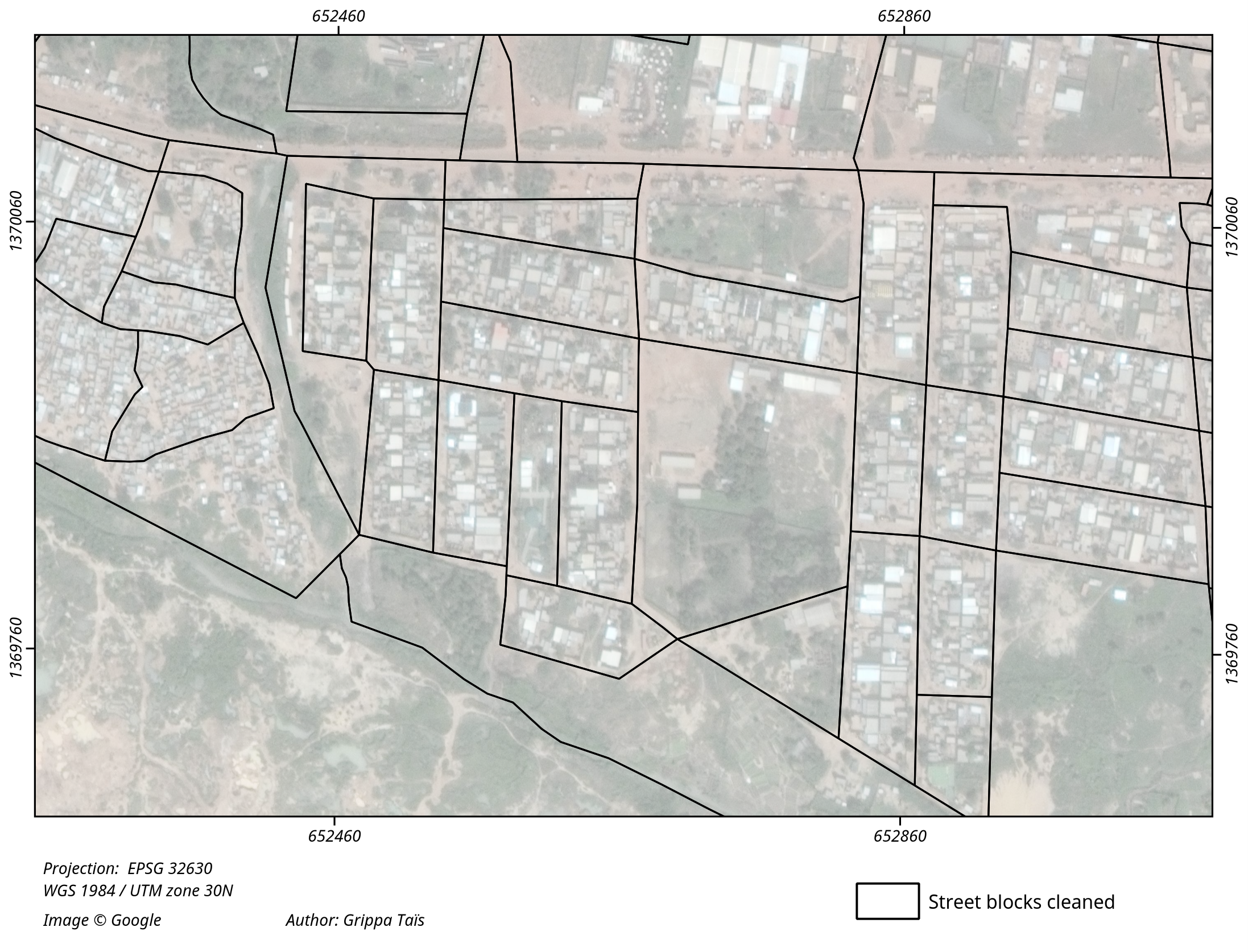
Final street blocks layer - Artifacts were removed


- Some issues could appear on Windows when using 'osm2pgsql' command, regarding to the password for the Postgis databse.
- The resulting layer could contain self-intersecting polygons. Add extra step should be added after the extraction of the block in order to check is there are self-interecting polygons, and fix them in this case.