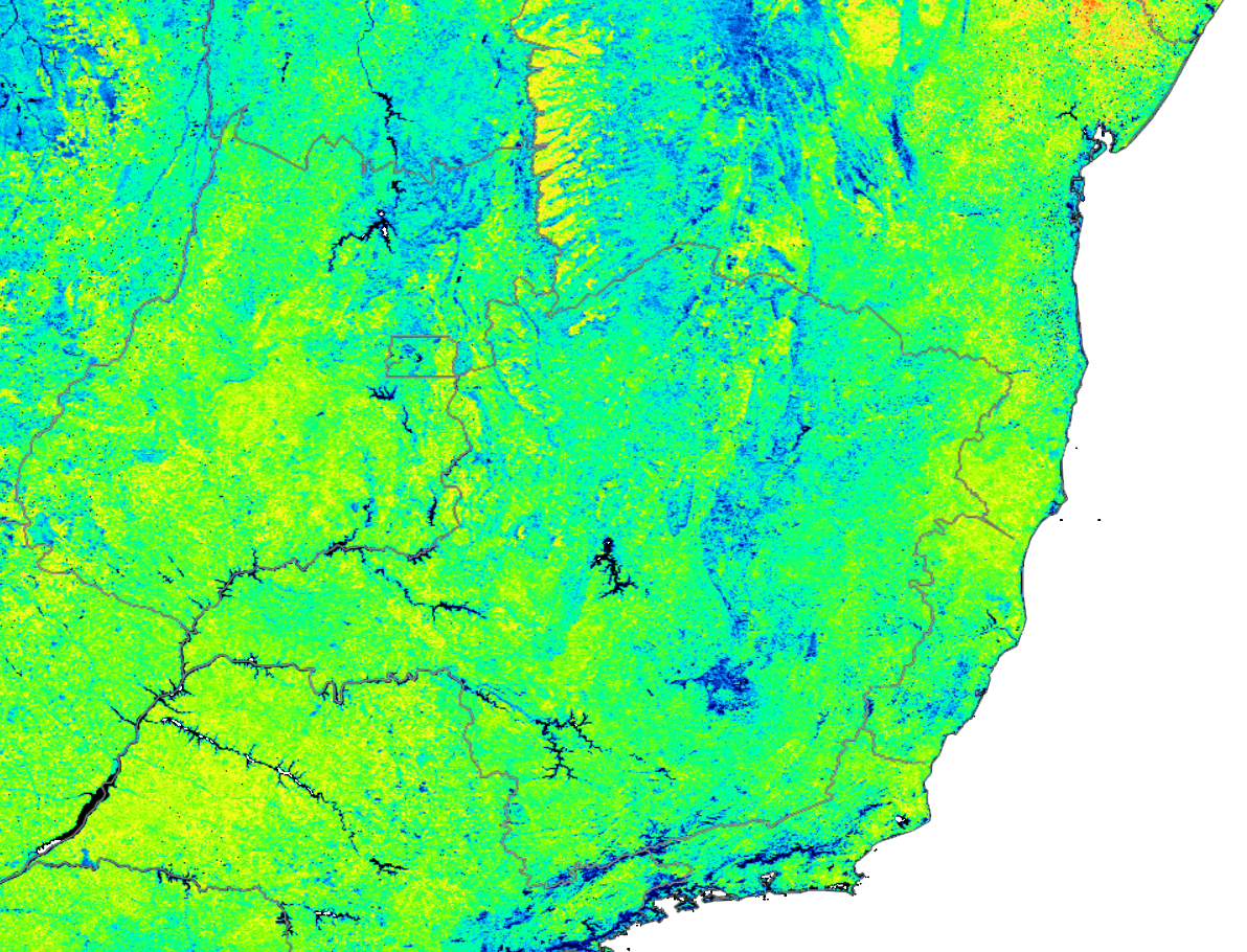
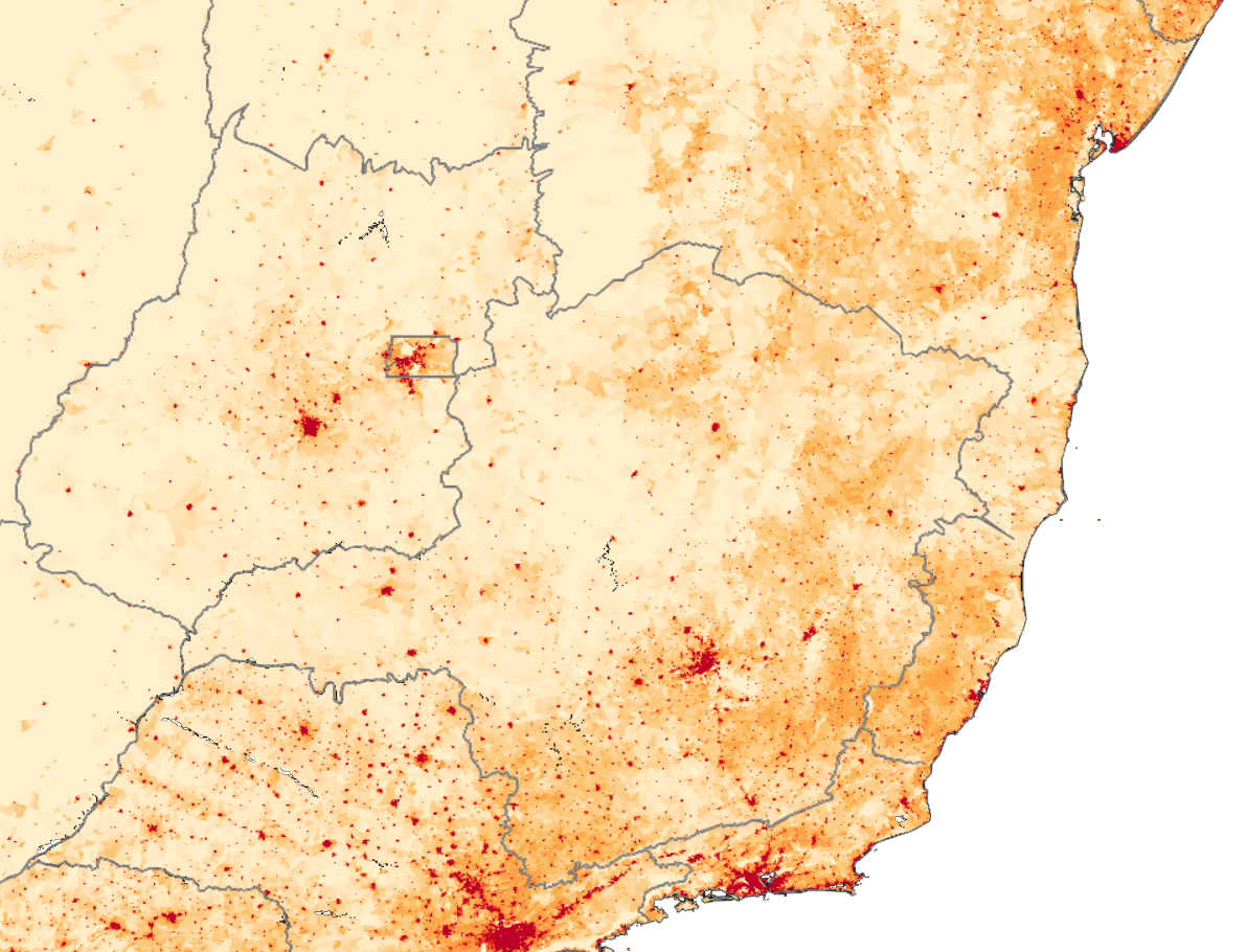
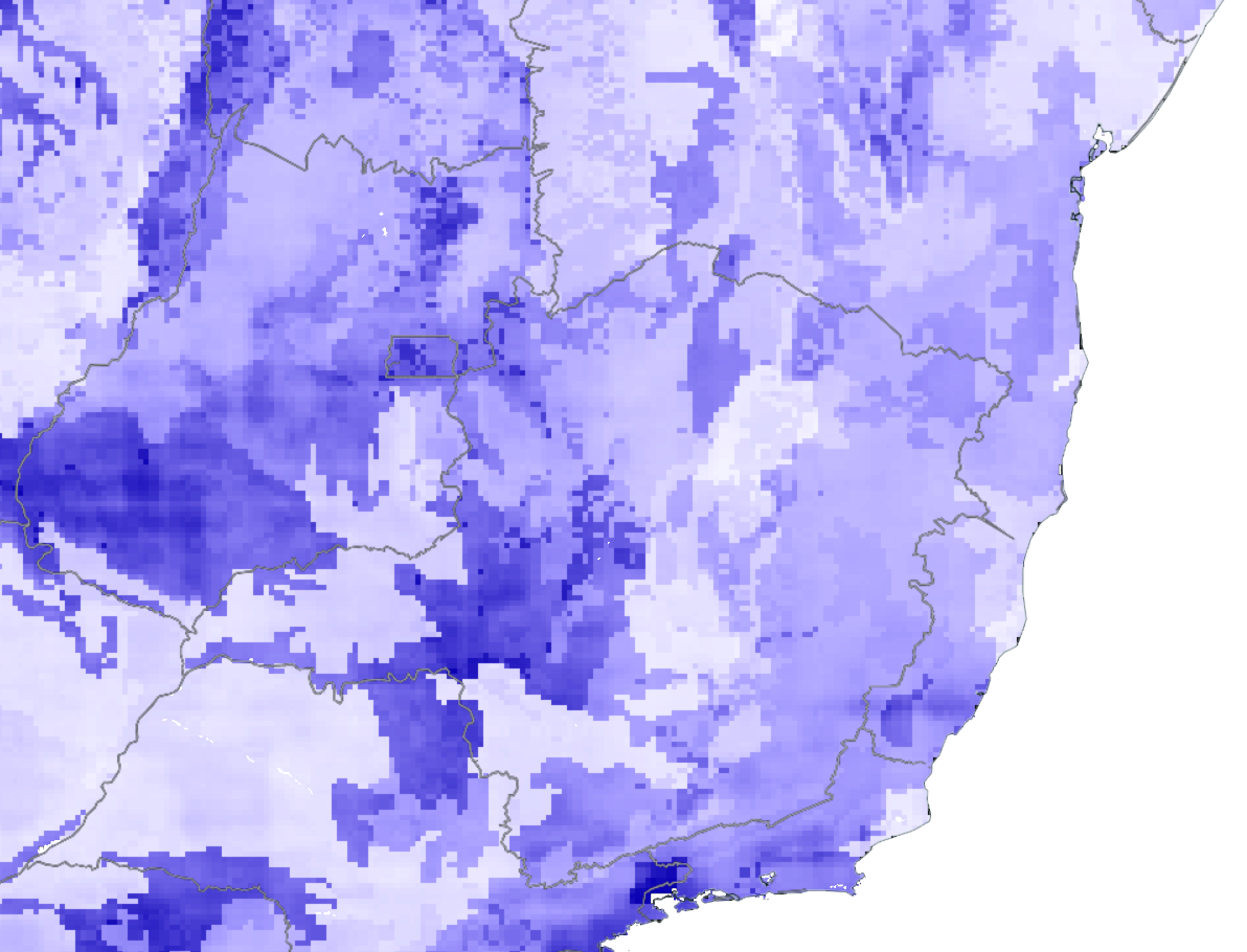
| description |
|---|
Infiltrating water for thirsty ground |
{% hint style="info" %} Language: Python 3.7.4
Software: OpenGrADS
Libraries: Pygrads, Numpy, Scipy, PIL, Matplotlib, Basemap, Ipython, Pandas {% endhint %}
The desertification can be preliminarily understood as a set of phenomena that lead certain areas to become deserts or resemble them.
We aim to provide a prioritization basis for promoting vegetation recovery and conservation actions, as well as optimizing processes such as water infiltration into the soil and promoting better storage and consequent water availability in the region.
- Data Mining
- Data Analysis
- Data Correlation
- Risk Areas Ranking
- Finding Optimal Solution Implementation Area
- Green Infrastructure Choosing
The link below contains the utilized datasets and those respective APIs:
It is a simple concept which follows the steps mentioned before. First we collect the raw data from NASA's databases, after that this data will go through a "pipeline". The basic function of that pipeline is to gather diferent types of data indexes and combine them to create a new index. Our challenge for the next step is to rank the areas with most desertification risk. Using that information we can priorize some places. Finally when a region is selected, the tool will provide the best place in a determinated radius to implement a green infrastructure. It's important to say here that our tool doesn't determinate the best green infrastructure, instead it shows a point within the radius in which such infrastructure will provide the best results on the desertified area, based in the data.
Based in the indexes collected from databases we write a math equation to calculate the desertification index
Desertification Index (DI): (ghland*runoff*tsoil1*twlt) / (grn*gwetprof*qinfil*tsoil6)
Variables that contributes to increase desertification:
- ghland: soil heat
- runoff: soil water flow
- tsoil: superficial soil temperature
- twlt: surface temperature of wilted zone
Variables that contributes to decrease desertification:
- evptrns: transpiration energy flow
- evpsoil: exposed soil evaporation energy flow
- grn: green fraction
- gwetprof: soil humidity
- qinfil: soil water infiltration ratio
- tsoil6: deep soil temperature


