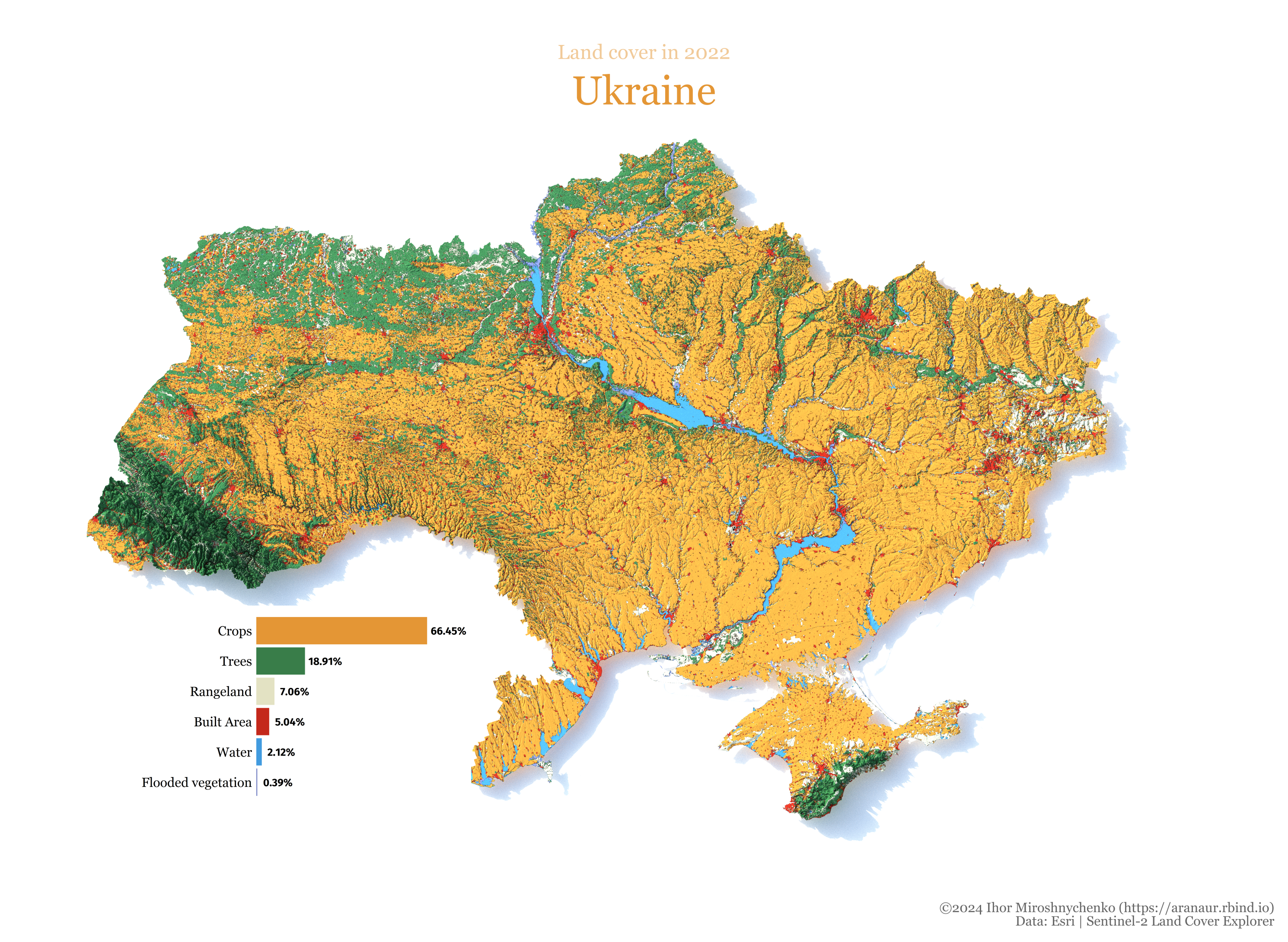
This repository contains the code of the 3D Ukraine’s land use/cover in 2022 visualization using the R rayshader library. The visualization is based on the data from the Sentinel-2 10m Land Use/Land Cover Time Series.
Aranaur/3d-Ukraine-cover-map
This repository contains the code of the 3D Ukraine’s land use/cover in 2022 visualization using the R rayshader library. The visualization is based on the data from the Sentinel-2 10m Land Use/Land Cover Time Series.
R
