The goal of this project was to help a tech company called PlanMyTrip to develop real-time suggestions for client's ideal hotels for vacation.
The criteria to identify the ideal hotels was:
- Cities that had the right kind of weather for the client
- Hotels that were within a given range of latitude and longitude
In order to filter the data for the weather preferences, input statements were added so the user can add the minimum and maximum desired temperatures(F°). For this project the chosen range was 75°F to 90°F. This range was then used to create a list of potential travel destinations and nearby hotels. From this list, four cities that were possible to travel from/to each other by car were chosen by the user to create the travel itinerary. Finally, using the Google Maps Directions API, a travel route and a marker layer map were created.
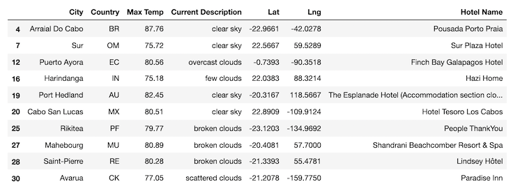
- The dataFrame shown bellow represents part of the list of potential travel destinations and nearby hotels.
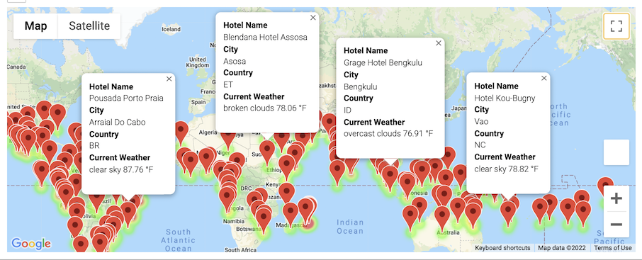
- On the following image the red markers represent all the destinations around the globe that fell inside the set parameters.
- The following DataFrame contains the four chosen destinations with their respective maximum temperature, weather characteristics and coordinates.
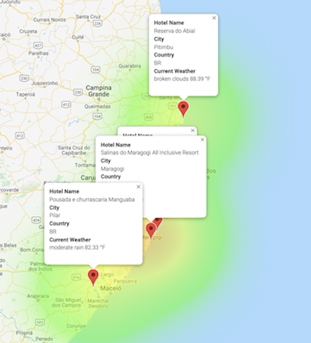
- On the image bellow the 4 destinations are highlighted. By clicking on each red marker, a popup is displayed with additional information.
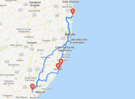
- The highlighted route below connects all four cities. It starts and ends in Pilar, Brazil.


