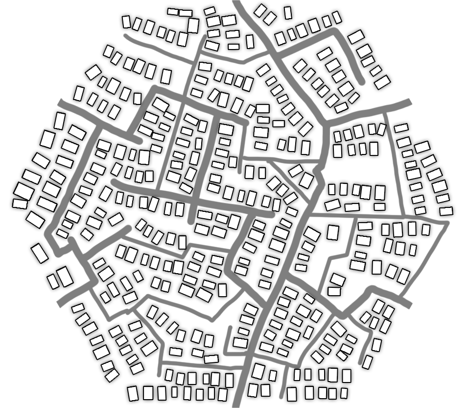
Using Open Street map, Taxicab and Nominatim, this API returns geolocation data given two geo-coordinates.
You can retrieve the cost to ship a weightless item from a point to another. You also can see this as the cost of a Uber/99/cabify ride.
- Linear distance between two points using Haversine method.
- Shortest path between two points.
- Price to ship between two points.
- Tell you where you at.
- Where am I ?
/whereAmI
- Shipping Price
/shipping
- Linear distance
/linearDistance
- Shortest path
/ShPath
You can check out the Fast Api built in swagger documentation on route /docs.
