A Rust implementation of the Polylabel algorithm.
This is a fork of polylabel-rs. Pylylabel's polylabel function also
returns the distance from the label position to the polygon. Python binding is provided using PyO3.
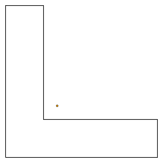
The orange dot is the polygon centroid. The teal dot is the ideal label position. Red boxes show the search space.
extern crate pylylabel;
use pylylabel::polylabel;

extern crate geo;
use geo::{Point, Polygon};

let coords = vec![
    (0.0, 0.0),
    (4.0, 0.0),
    (4.0, 1.0),
    (1.0, 1.0),
    (1.0, 4.0),
    (0.0, 4.0),
    (0.0, 0.0)
];
let poly = Polygon::new(coords.into(), vec![]);
let label_pos, distance = polylabel(&poly, &0.10);
// Point(0.5625, 0.5625), 0.5625
from pylylabel import polylabel
from shapely.geometry import Polygon
exterior = [
[0.0, 0.0],
[4.0, 0.0],
[4.0, 1.0],
[1.0, 1.0],
[1.0, 4.0],
[0.0, 4.0],
[0.0, 0.0]
]
pol = Polygon(exterior)
x, y, distance = polylabel(pol, tolerance=0.1)
# 0.5625, 0.5625, 0.5625Using a 4-core 2.3 GHz Intel Core i5, finding a label position on a ~9k-vertex polygon (representing the Norwegian mainland) using a tolerance of 1.0 takes around 9 ms. Depending upon the dimensions of your polygon(s), you may require a higher tolerance (i.e. a smaller number). See here for some guidance on the accuracy provided by each decimal place.
Requirements:
- Python 3.5+
- Rust stable
- maturin
maturin build --release