This project contains an import for Verwaltungsgebiete data.
The used data is obtained from Verwaltungsgebiete 1:250 000 (Ebenen), Stand 01.01.
Note: This container is used to mainly convert and view the data. DO NOT USE IN PRODUCTION
- Build the Docker container
docker build -t dealog/postgis:latest .- Start the Docker container
docker run\
  --name postgis_import\
  --rm\
  -d\
  -p 15432:5432\
  -e POSTGRES_DBNAME=postgis\
  -v ${PWD}:/app\
  dealog/postgis:latest
The database user and password is the default
docker:docker.
- Run the import script
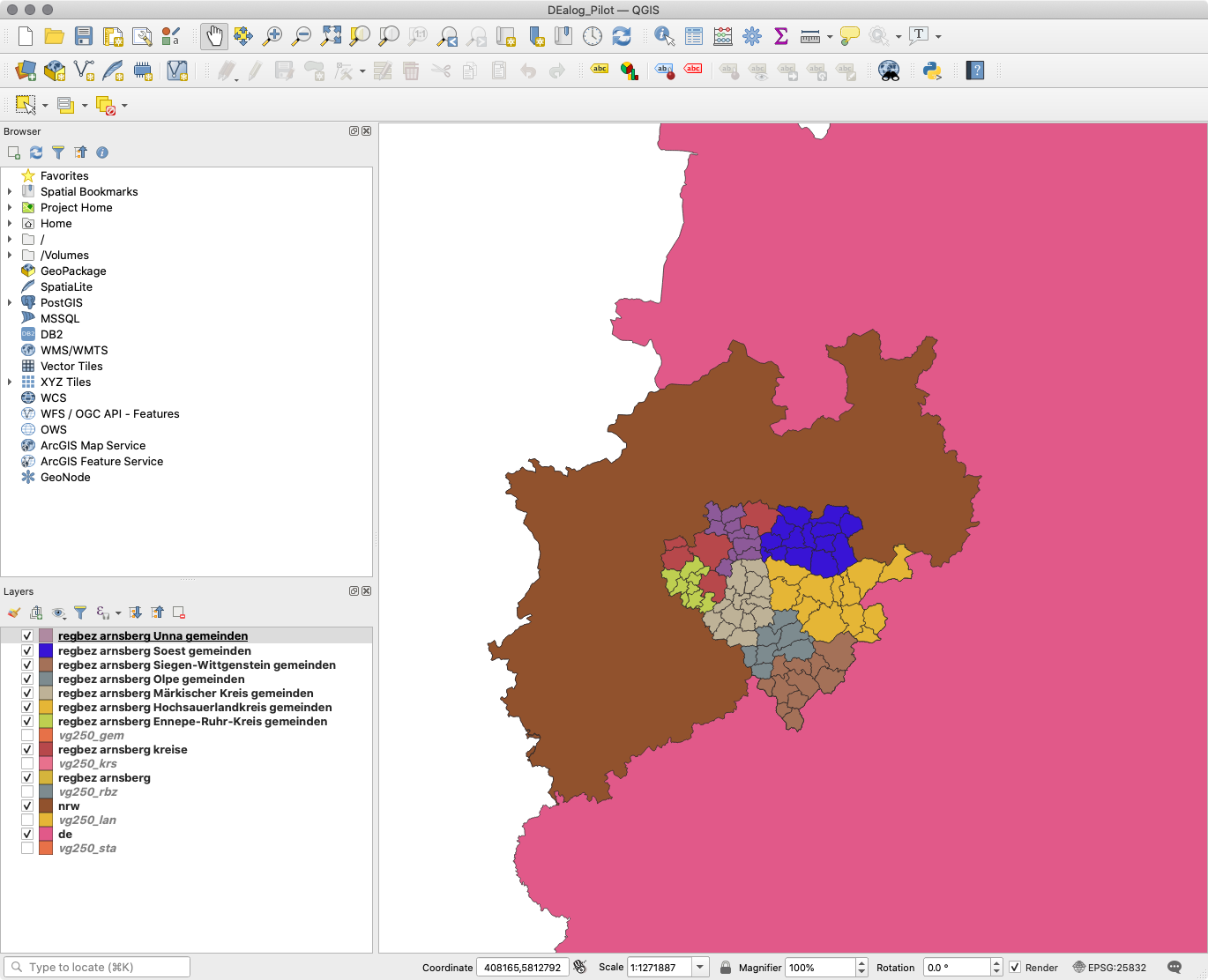
docker exec postgis_import ./import_verwaltungsgebiete.shTo view the data visually it's recommended to use the QGIS viewer.
When using this you need to add the PostGIS datasource.
For the DEalog pilot project the DEalog_Pilot.qgz file can be loaded.
It should look like this:
The DEalog pilot project needs only a subset of the data which can be exported with the following command (the argument is the ARS):
docker exec postgis_import ./export_csv_verwaltungsgebiete.sh 05911 05913 05914 05915 05916 05954 05958 05962 05966 05970 05974 05978This will export given municipalities incl. supervising ones to data/ as CSV files.
The arguments are the rural districts (Landkreise).
MIT
