Use Raspberry Pi to connect via usb to Arduino with Grove Shield and Grove GPS sensor
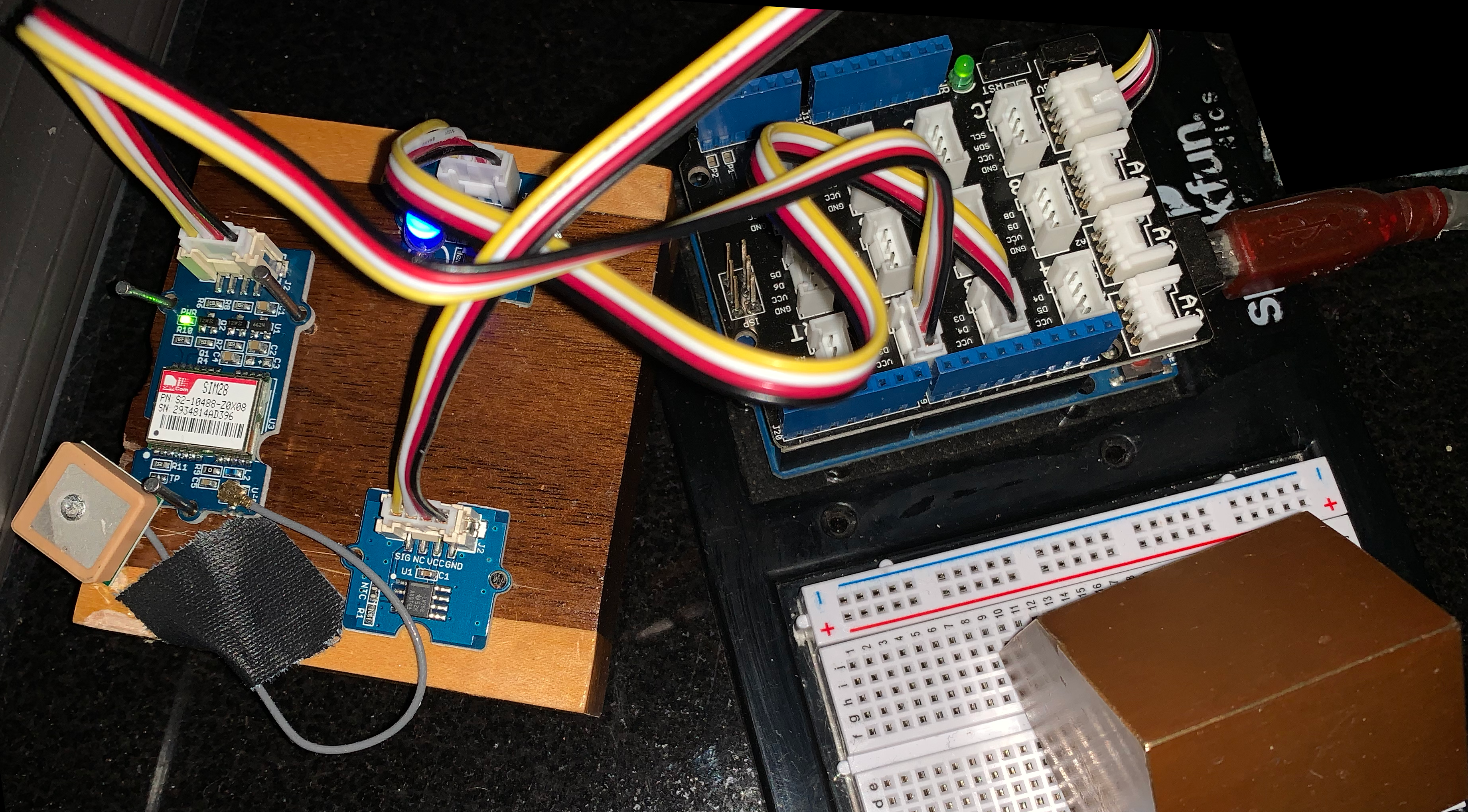
 Arduino Uno with Grove - Temerature/Barometer & GPS sensor attached
Grove GPS writes via SoftSerial lib
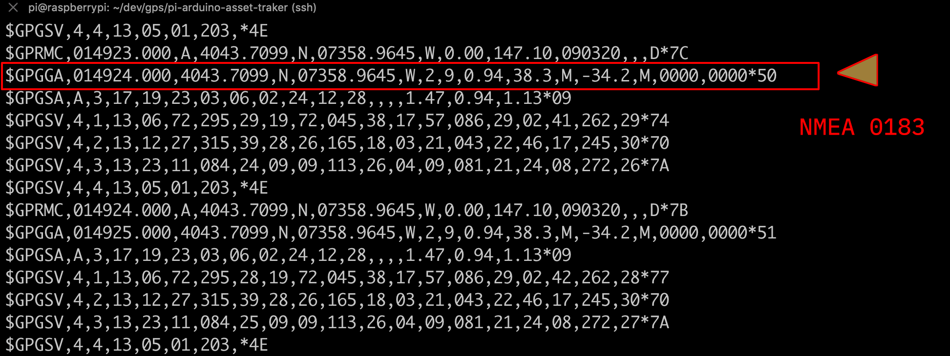
screen /dev/ttyACM0 9600The line starting with $GPGGA annotated above has the NMEA data that provides
the longitude and latitude and altitude data that is interesting to us.
Arduino talks to pi via usb
GPS.py lines 40 to 44 gets GPS and location information via the python library pynmea
( $todo: add grab Temp, Humidity and Accelerometer data ... )
You will need to signup for Mapquest Developer account and get an API key
export MAPQUEST_KEY=hw26Ajxxxxxxxxxxxin python3 code gps.py it will call
Mapquest get url to
http://www.mapquestapi.com/geocoding/v1/reverse?key=MAPQUESTKEY&location=40.72817333333333,-73.98259166666666&includeRoadMetadata=true&includeNearestIntersection=true
and returns something similar to
'nearestIntersection': {   'distanceMeters': '151.78865',
                            'label': 'E '
                                    '11th '
                                    'St '
                                    '& '
                                    'Avenue '
                                    'C',
                            'latLng': {   'latitude': 41.72785,
                                            'longitude': -73.982223},
                            'streetDisplayName': 'Avenue '
                                                'C'},
    'postalCode': '10009-4XXX',
    'sideOfStreet': 'L'
}
convert grove gps data to meanigful information https://github.com/Knio/pynmea2
National Marine Electronics (NMEA) Standard
https://www.nmea.org/content/STANDARDS/NMEA_0183_Standard
