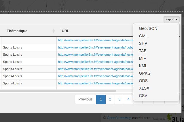
QGIS Server Plugin to add additional output formats to WFS GetFeature request.
Demo in Lizmap Web Client:
wfsOutputExtension is a QGIS Server Plugin. It extends OGC Web Feature Service capabilities. It adds output formats to WFS GetFeature request.
It adds:
- CSV
- ESRI ShapeFile as ZIP file
- Geopackage
- GPX
- KML
- MapInfo TAB as ZIP file
- MIF/MID File as ZIP file
- ODS, the datatable
- XLSX, the datatable
- For QGIS Server 3, higher than version 1.1.0
- For QGIS Server 2, version 1.0.2 or lower
To install the plugin :
- Go to the download section
- Retrieve the archive version for a given QGIS version (QGIS 2 or QGIS 3)
- Extract the content of the archive with
unzip - Check rights
- Move the directory of the plugin into the plugins directory of QGIS Server (it is
/opt/qgis/pluginsmost often) - Restart QGIS Server
For more details :
- Read the documention of QGIS Server.
- Read AtlasPrint install process because it's similar.
docker pull 3liz/qgis-platform:3.10
docker tag 3liz/qgis-platform:3.10 qgis-platform:3.10
make test