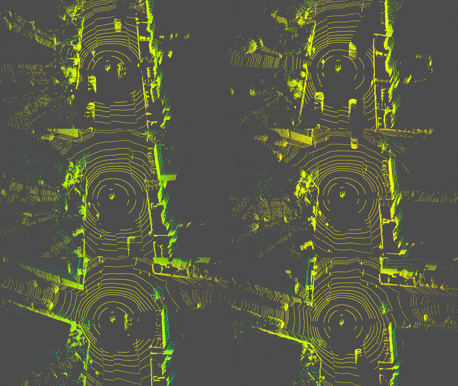
The following open-source projects were forked to fit our data.
- Install all dependencies (simply activate python venv with
source bin/activateor equivalent). If running Windows and WSL2, plotting requires a X11 server on host (e.g. VcXsrv); - Convert PCD file format to bin using
src/pcd2bin.py; - Pipe bin file to
src/pcd-tools.pyto plot scenes. For the hackathon this is fixed to an 8-frame range; - Export desired scenes to PNG;
- Convert PNGs to
m4vvideo usingffmpegat 2 frames per second:
ffmpeg -start_number 1 -y -r 1 -i "video-%1d.png" -vf scale=1920:-1 -vcodec libx264 -b:v 10000k -r 1 outputhd.m4v
- Location: University of Oxford's Computer Science Department (starting at the entrance to the University Parks);
- Avg. speed: 29.5mph;
- Timeline: Tue Jan 21 2020 11:20:35 GMT+0.
Render of the LIDAR data route taken.
