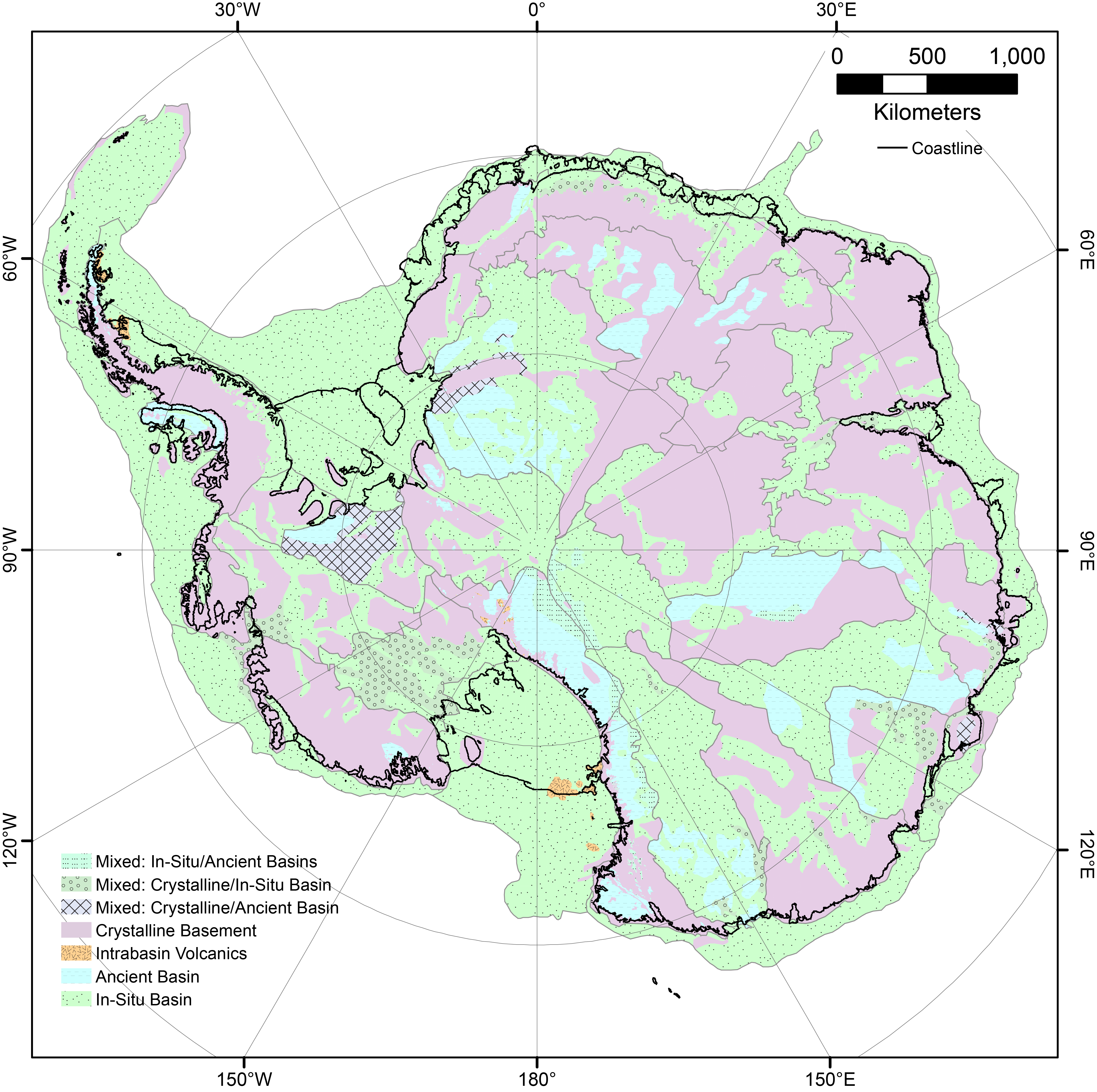
AntarcticBasins is an open repository for hosting the Antarctica's Sedimentary Basins GIS package. It includes the sedimentary basin distribution, sedimentary basin type, and sedimentary basin age. The goal of this project is to build a community-derived knowledge of Antarctica's Sedimentary Basins.
Understanding of Antarctica's Sedimentary Basins will likely change with the increase of data coverage and resolution. Therefore, we aim to use community effort to keep updating the GIS package.
📝 Please make edit to the GIS package and make a Pull Requets to submit your data.
Please read our Contributing Guide to see how you can help and give feedback.
The current version of AntarcticBasins is v1.04
The version v1.04 supplement to the following publication:
Aitken, A. R., Li, L., Kulessa, B., Schroeder, D. M., Jordan, T. A., Whittaker, J. M., ... & Siegert, M. J. (2023). Antarctica's sedimentary basins and their influence on ice sheet dynamics. Review of Geophysics
