mappyfile


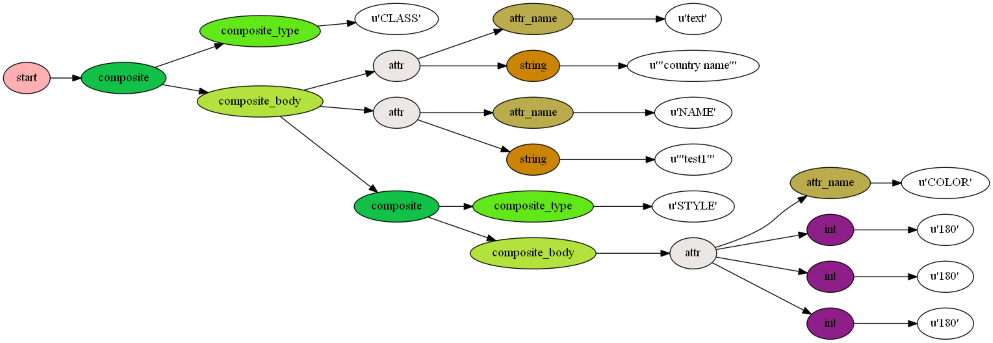
A pure Python parser for working with MapServer MapFiles, built using Lark
An online formatter demonstrating the libraries capabilities can be found at: http://mappyfile.geographika.net/
A presentation on mappyfile was given at FOSS4G Europe 2017 - slides are available for download here.
Requirements
- Python 2.7 or Python 3.x
Installation
mappyfile is available on PyPI (Python Package Index), and can be installed using pip:
pip install mappyfileThis will also install its required dependences Lark (lark-parser), and jsonschema.
Documentation
Full documentation is available at http://mappyfile.readthedocs.io/en/latest/
Usage
From within Python scripts:
import mappyfile

mapfile = mappyfile.open("./docs/examples/raster.map")

# update the map name
mapfile["name"] = "MyNewMap"

new_layer_string = """
LAYER
    NAME 'land'
    TYPE POLYGON
    DATA '../data/vector/naturalearth/ne_110m_land'
    CLASS
        STYLE
            COLOR 107 208 107
            OUTLINECOLOR 2 2 2
            WIDTH 1
        END
    END
END
"""

layers = mapfile["layers"]

new_layer = mappyfile.loads(new_layer_string)

layers.insert(0, new_layer) # insert the new layer at any index in the Mapfile

for l in layers:
    print("{} {}".format(l["name"], l["type"]))

print(mappyfile.dumps(mapfile, indent=1, spacer="\t"))
Three command line tools are available - format, validate, and schema:
mappyfile format raster.map formatted_raster.map
mappyfile validate D:\ms-ogc-workshop\ms4w\apps\ms-ogc-workshop\**\*.map
mappyfile schema mapfile-schema-7-6.json --version=7.6
Authors
- Seth Girvin @geographika
- Erez Shinan @erezsh
Contributors
- Julien Enselme @jenselme
- Loïc Gasser @loicgasser
- Ian Turton @ianturton
- @thorag76