A Python 📦 for getting point and gridded climate data by AOI. climatePy is the Python version of the climateR R package, providing all of the same functionality but in Python.
As its stated in the climateR README: climatePy simplifies the steps needed to get climate data into Python. At its core it provides three main things:
-
A climate catalog of over 100,000k datasets from over 2,000 data providers/archives. See (
data_catalog()) -
A general toolkit for accessing remote and local gridded data files bounded by space, time, and variable constraints (
dap(),dap_crop(),read_dap_file()) -
A set of shortcuts that implement these methods for a core set of selected catalog elements
climatePy can be downloaded from PyPI via pip like so:
pip install climatePy
Note: climatePy is still in development
import climatePy
import geopandas as gpd
import matplotlib.pyplot as plt

# load climate catalog
catalog = climatePy.data_catalog()

# load example AOI data
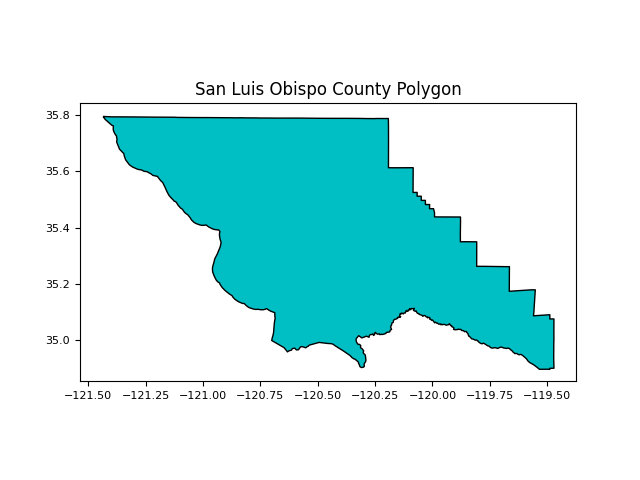
AOI = gpd.read_file('src/data/san_luis_obispo_county.gpkg')The climatepy_filter() is one of the core functions of climatePy and is used to do the first round of filtering on the base climate catalog.
Here we filter down our climate catalog to TerraClim precipitation data for San Luis Obispo County, CA.
# collect raw meta data
raw = climatePy.climatepy_filter(
        id        = "terraclim",
        AOI       = AOI,
        varname   = "ppt"
)| id | asset | varname |
|---|---|---|
| gridmet | agg_terraclimate_ppt_1958_CurrentYear_GLOBE | ppt |
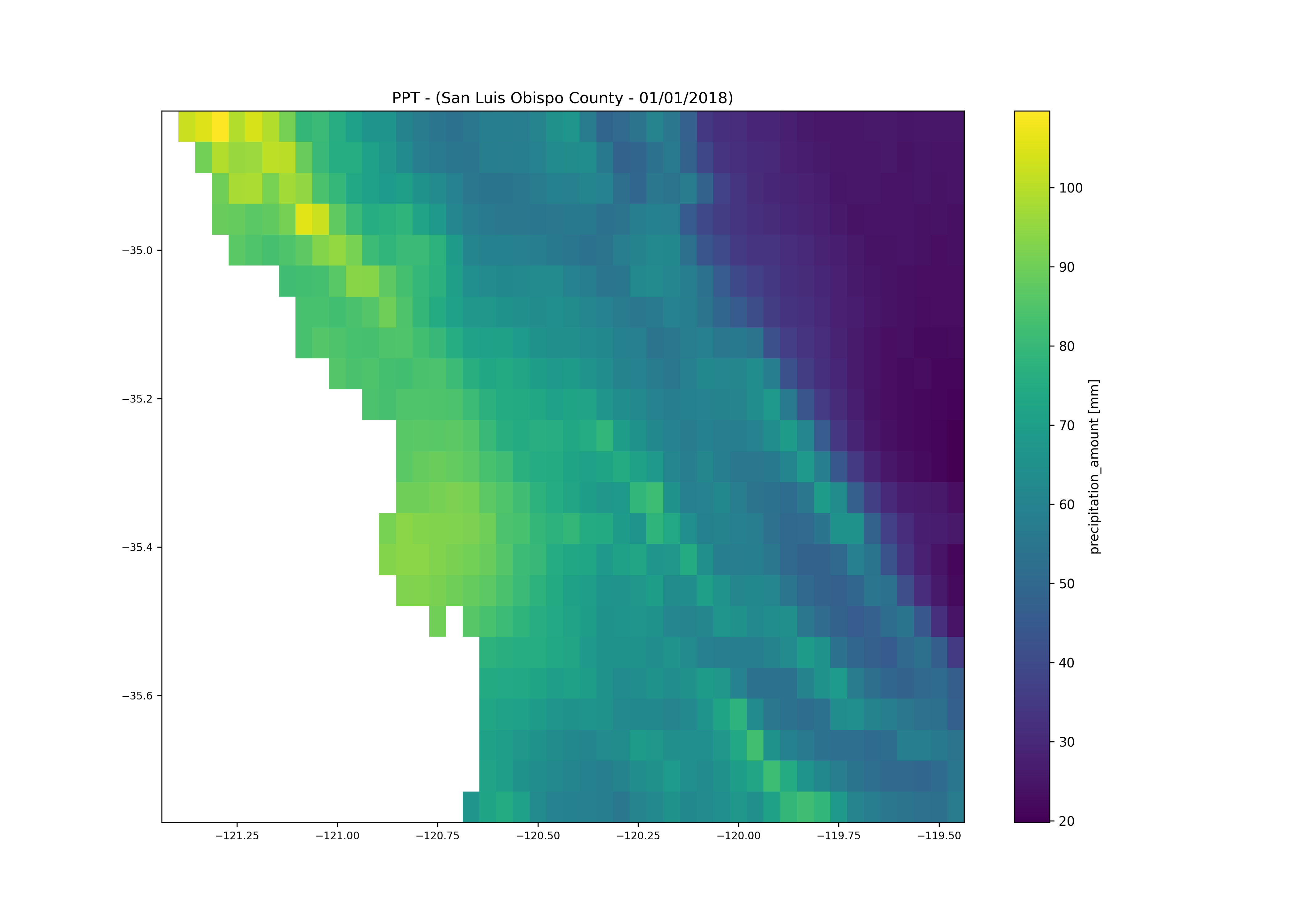
Now lets use the getTerraClim() function from climatePy to get precipitation data for January 1st, 2018 in San Luis Obispo County, CA.
# collect raw meta data
prcp = climatePy.getTerraClim(
    AOI       = AOI,
    varname   = "ppt",
    startDate = "2018-01-01",
    endDate   = "2018-01-01"
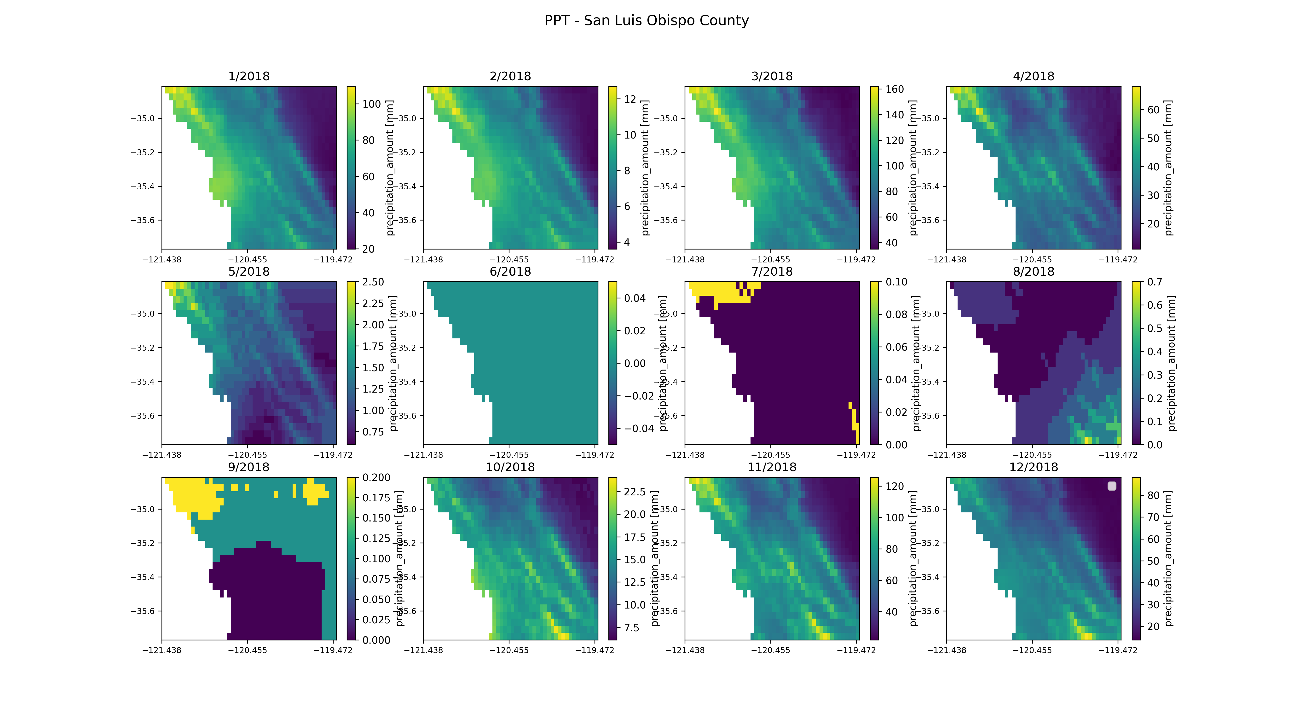
)We can also get data within a date range. we'll use getTerraClim() to get monthly precipitation data for all of 2018 in San Luis Obispo County, CA.
# collect raw meta data
prcp = climatePy.getTerraClim(
    AOI       = AOI,
    varname   = "ppt",
    startDate = "2018-01-01",
    endDate   = "2018-12-01"
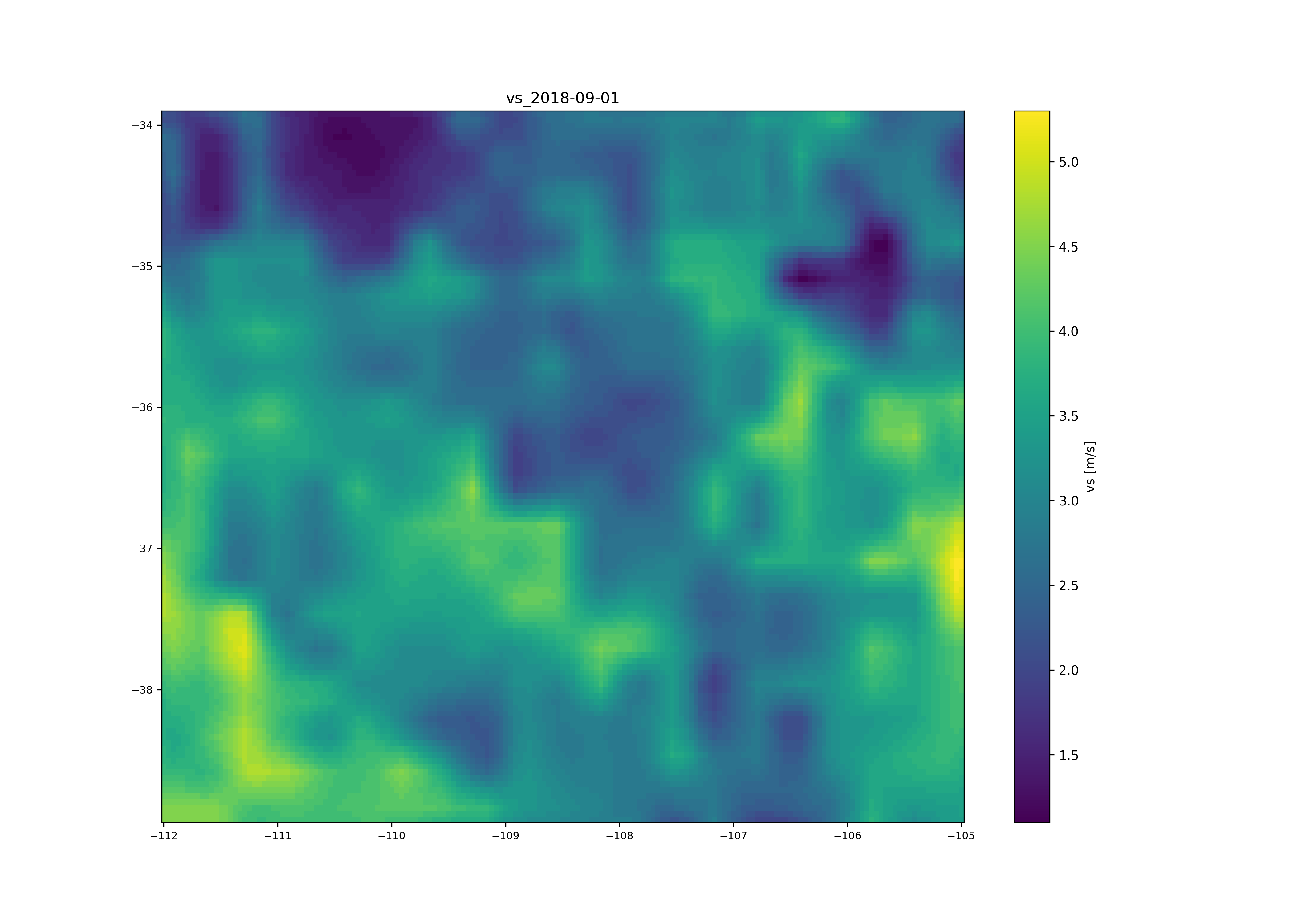
)climatePy offers support for shapely bounding boxes. Here we are requesting wind velocity data for the four corners region of the USA by bounding coordinates.
from shapely.geometry import box

bbox = box(-112, 34, -105, 39)

bbox = gpd.GeoDataFrame(geometry=[bbox], crs ='EPSG:4326')

vs = climatePy.getGridMET(
       AOI       = bbox,
       varname   = "vs",
       startDate = "2018-09-01"
)Credit to Mike Johnson and the other contributors to the original climateR package listed below:
GNU General Public License v3.0
climatePy: Find, subset and retrieve climate and geospatial data by AOI in Python. Copyright (C) 2023 Angus Watters, J. Michael Johnson
This program is free software: you can redistribute it and/or modify it under the terms of the GNU General Public License as published by the Free Software Foundation, either version 3 of the License, or (at your option) any later version.
This program is distributed in the hope that it will be useful, but WITHOUT ANY WARRANTY; without even the implied warranty of MERCHANTABILITY or FITNESS FOR A PARTICULAR PURPOSE. See the GNU General Public License for more details.
You should have received a copy of the GNU General Public License along with this program. If not, see https://www.gnu.org/licenses/.
If you would like to contribute, submit a PR and we will get to as soon as we can! If you have any issues please open an issue on GitHub. For any questions, feel free to ask @anguswg-ucsb or @mikejohnson51, or simply create an issue on GitHub.


