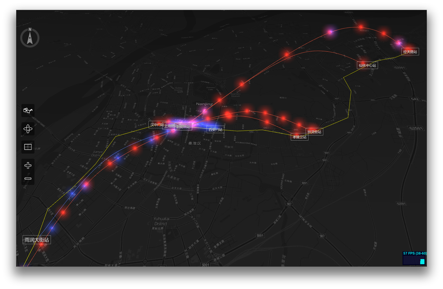
https://www.youtube.com/watch?v=fFMc5P8F7SY
https://www.youtube.com/watch?v=9rUGYhHJJ6E
https://www.youtube.com/watch?v=PQuNo-mrLKU
https://www.youtube.com/watch?v=DNW6VwIxl4w
MagicCube g3D Framework is a web GIS library for 3D visualization using WebGL technology. In this early version, it supports
- Designed for geo-based big data visualization
- Powered by MagicCube MXFramework
- High-performance real-time 3D rendering and animations based on Three.js and WebGL
- Open Street Map / MapBox / Google Map / Nokia HERE Map / Baidu Map / AutoNavi supported
- Multi-layer supported
- Basic 2D/3D geometries and features supported
- GeoJSON supported
- Cache tile images using HTML5 LocalStorage
- Build-in ToolBar and Compass
- Anaglyph Effect (Red/Blue 3D Glasses are needed)
Open the live demo page with Chrome, Safari or any other Webkit-based modern browser.
How to Use
- Drag with left button to pan.
- Drag with right button to rotate.
- Scroll to zoom in and out.
If you have a multi-finger touchable device, you can
- Touch with one finger to pan.
- Touch with two fingers to rotate.
- Pinch with two fingers to zoom in and out.
If you have a Red/Blue 3D Glasses
- Click the glasses button of the toolbar on the left side to switch between 2D and 3D mode.
The g3d Framework is built on top of MagicCube MXFramework, Three.js, Tween.js, jQuery and jquery.transit.
Create a new 3D map view with an OSM-based layer.
$import("g3d.view.MapScene3DView");

var mapView = null;
mx.whenReady(function()
{
    // Create a new MapProvider using MapBox tiles.
    var mapProvider = new g3d.map.MapProvider({
        urlFormat: "http://{s}.tiles.mapbox.com/v3/nicki.uxdh1tt9/{z}/{x}/{y}.png32",
        tileSize: 256,    // Normally the tile size is always 256 in OSM and Google
    });


    // Create an instance of MapScene3DView
    mapView = new g3d.view.MapScene3DView({
        $element: $("#map"),
        mapProvider: mapProvider,
        centerLocation: [118.778845, 32.04386],
        zoom: 12,                // The same 'zoom level' rules as Google Map.
        statsVisible: true,      // Whether display the WebGL status bar.
        displayCompass: true,    // Whether the compass should be displayed.
        displayToolBar: true,    // Whether the tool bar should be displayed.
        onzooming: function(e)
        {
            console.log("Zooming from %d to %d.", e.zoomFrom, e.zoomTo);
        },
        onzoomed: function(e)
        {
            console.log("Zoom level is now set to %d.", e.zoomTo);
        }
    });

    // Add a OSM-based tile layer.
    var tileLayer = new g3d.layer.TileLayer3D({
        useLocalStorage: true     // Use HTML5 Local Storage to cache the tiles.
    });
    mapView.addLayer(tileLayer);

    // Start animation, so the user can interactive with the map.
    mapView.startAnimation();
});
Now let's add a polygon mesh to display 'Zifeng Tower'. Please refer to http://www.openstreetmap.org/way/140809508
// Add a feature layer to diaplay buildings.
var buildingLayer = new g3d.layer.FeatureLayer3D();
mapView.addLayer(buildingLayer);

buildingLayer.addPolygon(
    [
        [ 118.7781014, 32.062422 ],
        [ 118.7777385, 32.0627166 ],
        [ 118.7777183, 32.0627721 ],
        [ 118.7779384, 32.0628862 ],
        [ 118.7782096, 32.0629544 ],
        [ 118.7782587, 32.0629002 ],
        [ 118.7782337, 32.0624534 ],
        [ 118.7781786, 32.0624179 ]
    ],
    200,   // Height of the polygon mesh in pixels.
    {
        color : 0xff0000,
        opacity : 0.8
    }     // Alternatively you can use any THREE.Material instead
);
