This repo gathers a variety of python scripts to create and evaluate a vertical coordinate for ICON.
Content
This package does not yet comply with high-standard CICD.
Simply init the dedicated conda env with:
conda env create -f environment.yml
and later update with:
conda env update --file environment.yml
lev: Indicate number of levels to be printedloc: Locationsgrid_file: ICON grid filefile: constants file containing HHLmodel: model, either icon or cosmo
python evaluate_hhl.py --print_hhl --lev 35 --loc mtblanc --loc sav --loc zrh --loc ulr --grid_file /store/s83/swester/vert_coord_files/icon-1-alps/alps_DOM01.nc --file /store/s83/swester/vert_coord_files/icon-1-alps/const_sleve.nc
python evaluate_hhl.py --print_max_dzdc --lev 1 --grid_file /store/s83/swester/vert_coord_files/icon-1-alps/alps_DOM01.nc --file /store/s83/swester/vert_coord_files/icon-1-alps/const_sleve.nc
Constructs HHL field from an indicated surface elevation field and other settings. Currently, the script only calculates vct_a and vct_b.
python construct_hhl.py --file /store/s83/swester/vert_coord_files/icon-1-alps/external_parameter_icon_alps_R19B08_mch.nc --n_levels 81 --h_flat 16000 --top_height 22000 --stretch_fac 0.65 --type_vct_a 2nd_order --type_vct_b linear
This is a notebook which was created to play around with slicing "as clean as possible" to be able to visualise a cross-section.
For further usage, it is recommended to use LOSVEC.ipynb.
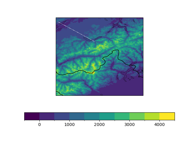
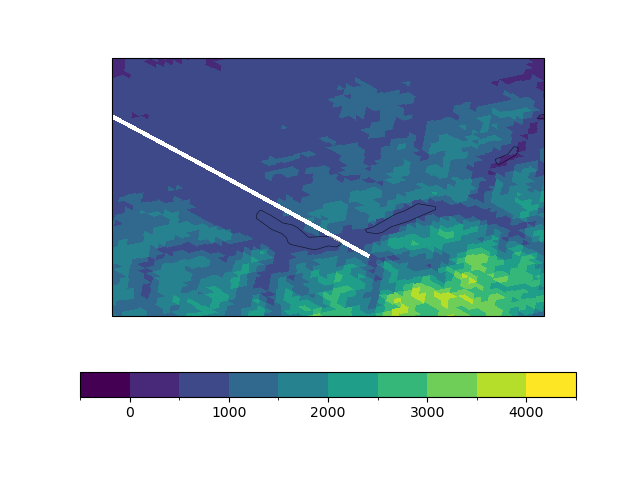
The cross-section now goes along the following line:
This is a notebook used to produce a 3D field of LOSVEC coordinates and to visualize a slice of it using code taken from losvec_slices.ipynb. It can be used by "running all" cells to simply check the resulting coordinates from the default parameters.
The main parameters that can be varied are:
- The input grid file and a corresponding HSURF variable
- The Gal-Chen vectors a and b
3) The number of smoothing iterations, the constant c_smooth determining the strengh of each smoothing iteration, the minimum resulting difference in height of two successive levels (default = 15 m), and the maximum change in dz (default = 1.5 times the initial one).
The functions that are present in this notebook are described as follows: - calc_vct_ab: Create the Gal-Chen vectors from a desired number of levels, top height, stretch factor and flat height (see documentation of construct_hhl.py) - fill_geofac_div_xr: Create the divergence geometrical coefficients, used in the following function - fill_geofac_n2s_xr: Create the nabla2_scalar geometrical coefficients, used for the smoothing - nabla2_scalar: Use the geometrical coefficients to obtain the Laplacian of a field defined on the cells of an ICON grid - c_smooth_topo: Do one iteration of smoothing of a given topology - compute_LOSVEC_hhl: Produce a 3D field of vertical coordinates from the Gal-Chen vectors and successive localized smoothings of a given topography. - ind_from_lat_lon: Copied from losvec_slices.ipynb to visualize a slice of the produced field from the previous function.

