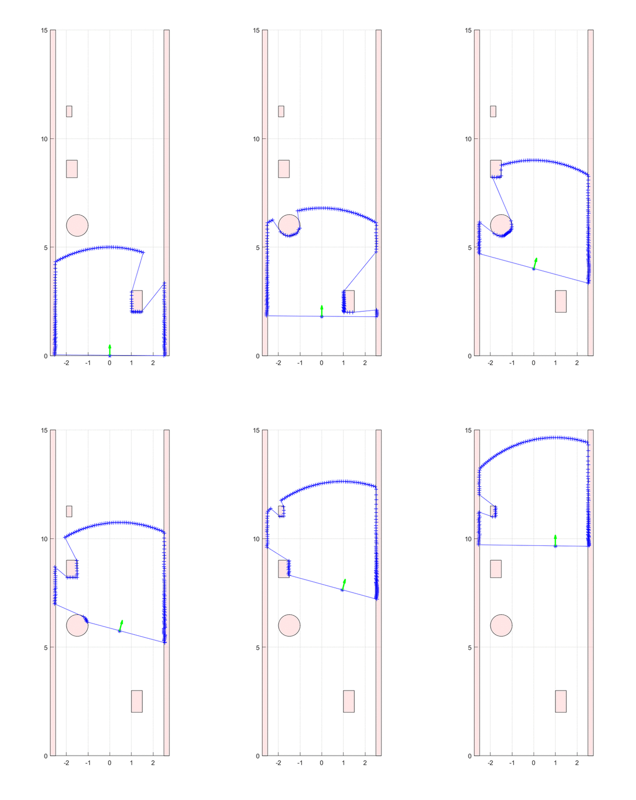
This simulation was designed by me as part of an academic project. The simulation is calculating measurement points of a Proximity Laser Scanner (PLS) in Matlab. The PLS will calculate the reflection points of the obstacles on the virtual map on a predefined path of travel.
Following parameters can be changed:
| Name | Description | Default |
|---|---|---|
| pls_res | Angular resolution of PLS in ° | 1 |
| pls_dof | Degree of freedome of PLS in ° | 180 |
| pls_n | Number of angular measurement segements | pls_dof/pls_res |
| pls_max_dist | Maximum measurable distance of PLS in m | 5 |
| pls_x | Initial x-position of PLS in m | 0 |
| pls_y | Initial y-position of PLS in m | 0 |
| pls_angle | Initial angle of PLS in ° | 0 |
| sim_grid | Grid size of PLS data measurement in m | 5e-2 |
| sim_grid_rte | Grid size of route path computation in m | 0.15 |
| auto_scaling | Auto scaling of plot during simulation | false |
| xlim_value | x-Limits for manual scaling in m | [-2.75 2.75] |
| ylim_value | y-Limits for manual scaling in m | [0 15] |
The simulation was designed and tested on Matlab 2018b on Windows 10 and macOS 10.14.3.
To run the simulation following steps must be performed:
- Open Matlab and navigate to the PLS_matlab_simulator.m
- Run the file. Immediately a plot should appear with the simulation
- The simulation will automatically stop at the route target or you can stop by pressing CTRL+C or CMD+C
