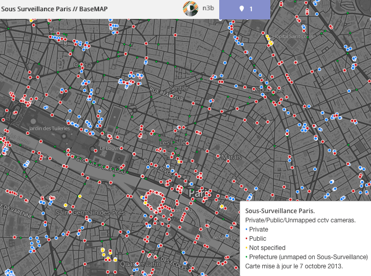
This map use the data of :
- The projet sous-surveillance.net who is a crowdsourced cctv cam map.
- OSM for the streets, water and natural spaces from Geofrabrik.
- Data.gouv.fr with shapefile of positions of CCTV's cops.
Click on this adress to download TileMill, and download the files from here (zip or git clone https://github.com/N3bTcx/TileMill_SousSurveillance.git in Mapbox\Projets\).
After, when you will open it, it will download zip of every layers. It can be long, so be patient, and take a coffee.
Check the discussion and feedbacks on the support forum of MapBox : CCTV mapping project.
- Add a real OSM background with buildings and streets (osm bright)
- Add the potential views of each cams (CCTV Bank, main cops cctv)
** In progress; with define rules for each cams (size of
marker-width) - Add color gradient to see the % of cams per meter ** In progress !
- Add the number of cam threw each areas of Paris (the layer is already added)
- Manage layers (private, public). With leaflets?
- Mobile version?
- Garmin version?
Public Domain. I don't care. Have fun and fuck CCTV.
Ping me on IRC irc.indymedia.org #sous-surveillance. Nickname n3b
