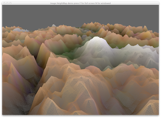
This demo shows how to read in an image and create terrain from it by using one of the channels as the height of the vertex in the y.
The program requires the image name to be passed on the command line (or within Qt Creator) The following images are in the textures directory.


