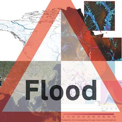
This repository contains flood risk maps made with folium, for use in the Brigstow -funded seed corn project"How can flood data be more useful?".
These maps are part of a survey of Non-Government Organisations and government departments who use flood data in order to help physical scientists present it to them in the most useful way.
For detailed instructions on how to use or change this code, read the Contribution Guidelines, or contact us:
GitHub Maintainer: Natalie Thurlby) PI: Laurence Hawker
