Place 18 solution for the Dstl feature detection kaggle challenge from DeepVoltaire and Hao
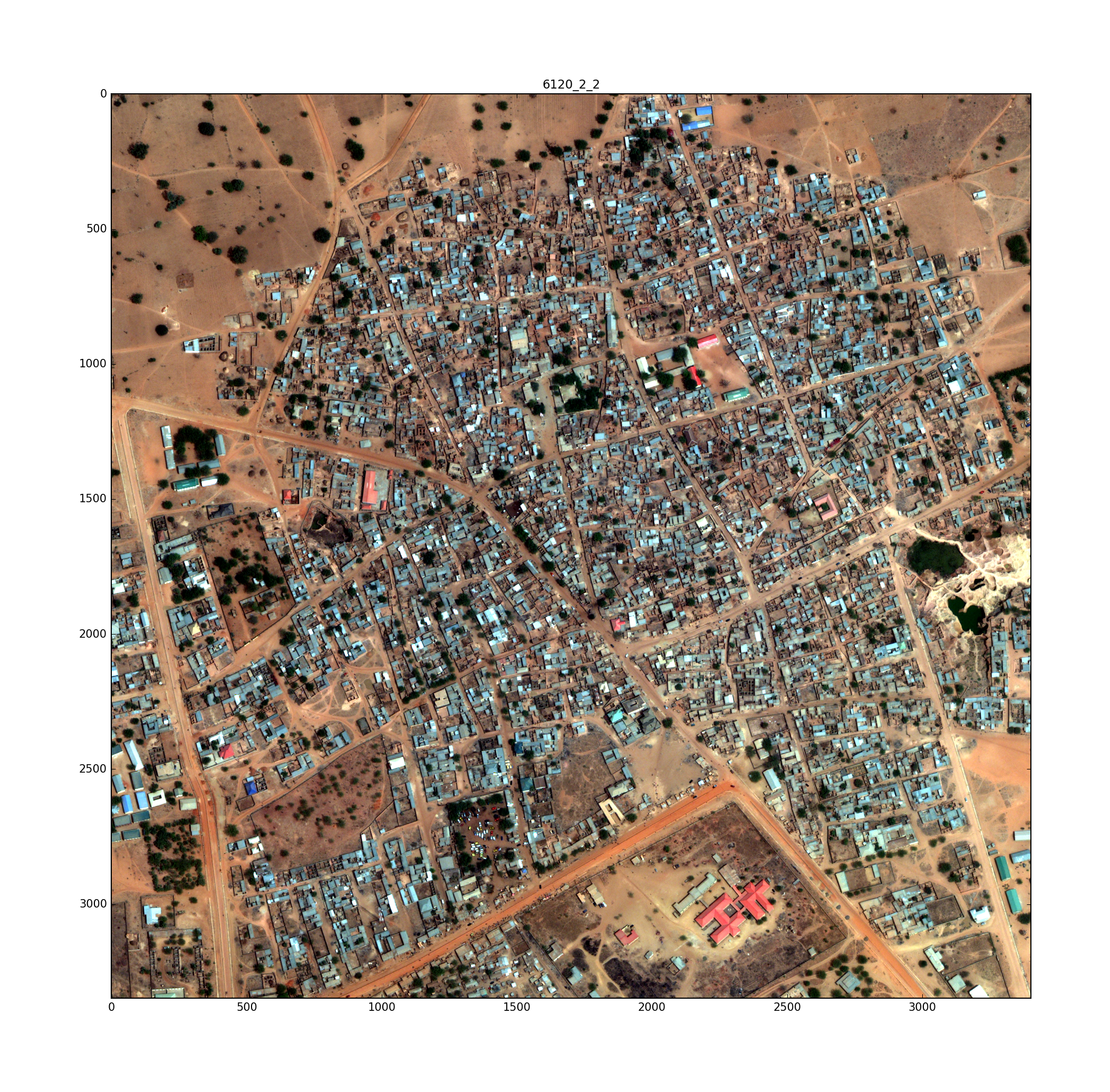
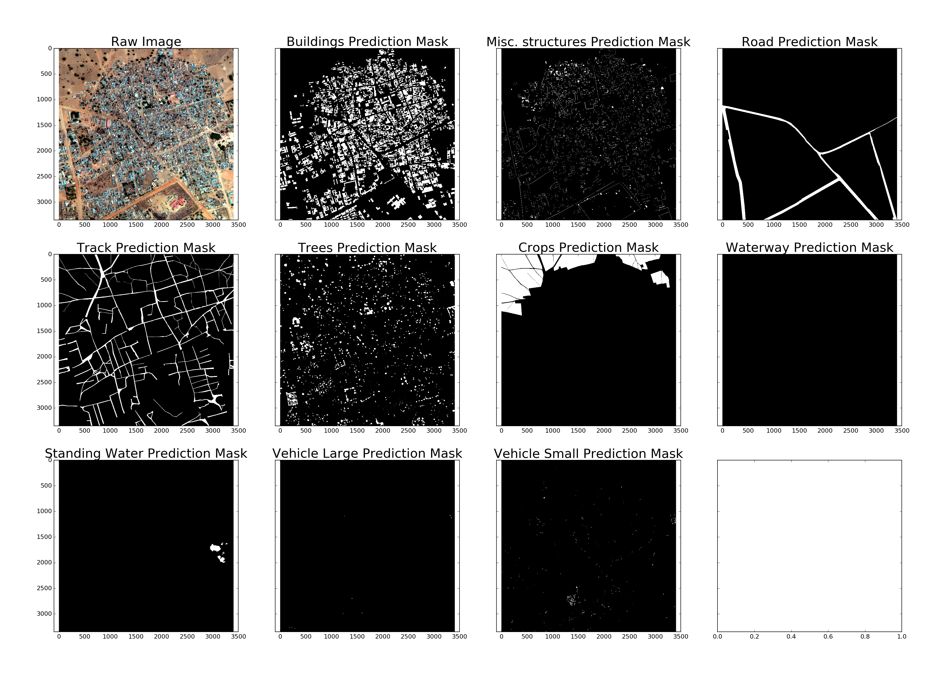
The goal was to find ten potentially overlapping features (buildings, other structures, roads, tracks, trees, crops, rivers, lakes, trucks, cars) in satellite images. This solution uses the U-Net neural network architecture to segment the images for ten binary classes.
- Put all data from Kaggle into data/
- run Preprocessing.py, then training.py and finally submission.py for a good solution from one single model
- to improve, run the same U-Net model for several classes individually (change the output to only include one class). I used additional single models for buildings, structures, tracks and trees, the other predictions performed better from the 10 class model.

