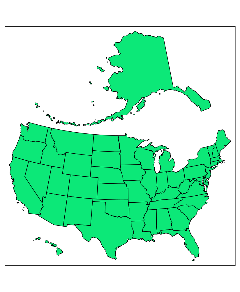
Maps of the United States often focus only on the contiguous 48 states. In many maps, Alaska and Hawaii are simply not shown or are displayed at different geographic scales than the main map. This repo contains an R code to create an inset map of the USA, which shows all its states and ensures relative sizes are preserved.
Spatial data allowing for alternative visualizations of the United States is available in:
The code for map layout creation was adapted from the visualizing geospatial data chapter of the Fundamentals of Data Visualization book by Claus Wilke and builds upon an idea from a blog post - Making maps of the USA with R: alternative layout.
Read the Geocomputation with R book to learn more about spatial data operations and visualizations.
