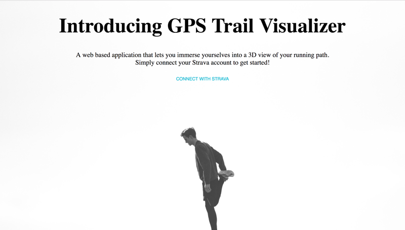
This project aims to build a web based application that allows users to connect and sync their fitness data from Strava. It then converts GPS data using data from Strava into a sharable Hyperlapse video built using Google’s Street View images as its source material without having the user to take any video recordings of the trail itself.
This project is built entirely on Meteor and React.
- Sync your running data with Strava and view your running path in 3D!
- Share this video with your friends to show them the places that you ran
- Keep track on the routes and distances you ran by displaying them onto Google Maps
-
Home Page Users can login into their Strava account to sync data with the web application
-
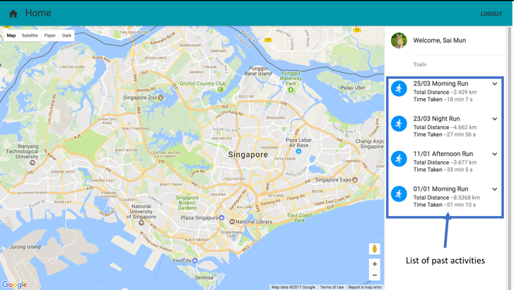
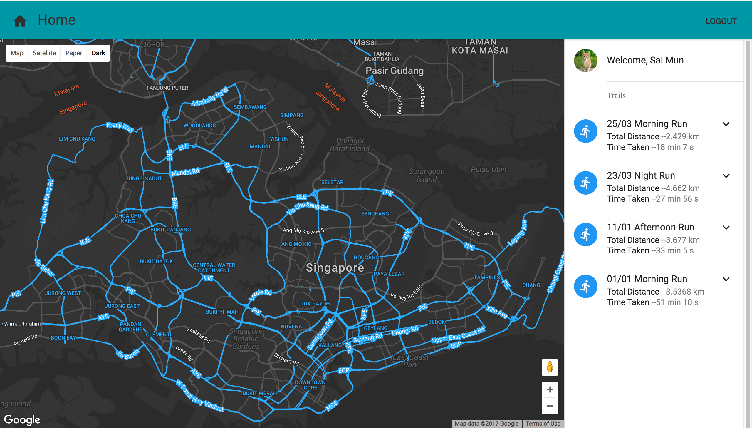
Main Page This is where user can view the routes they have taken
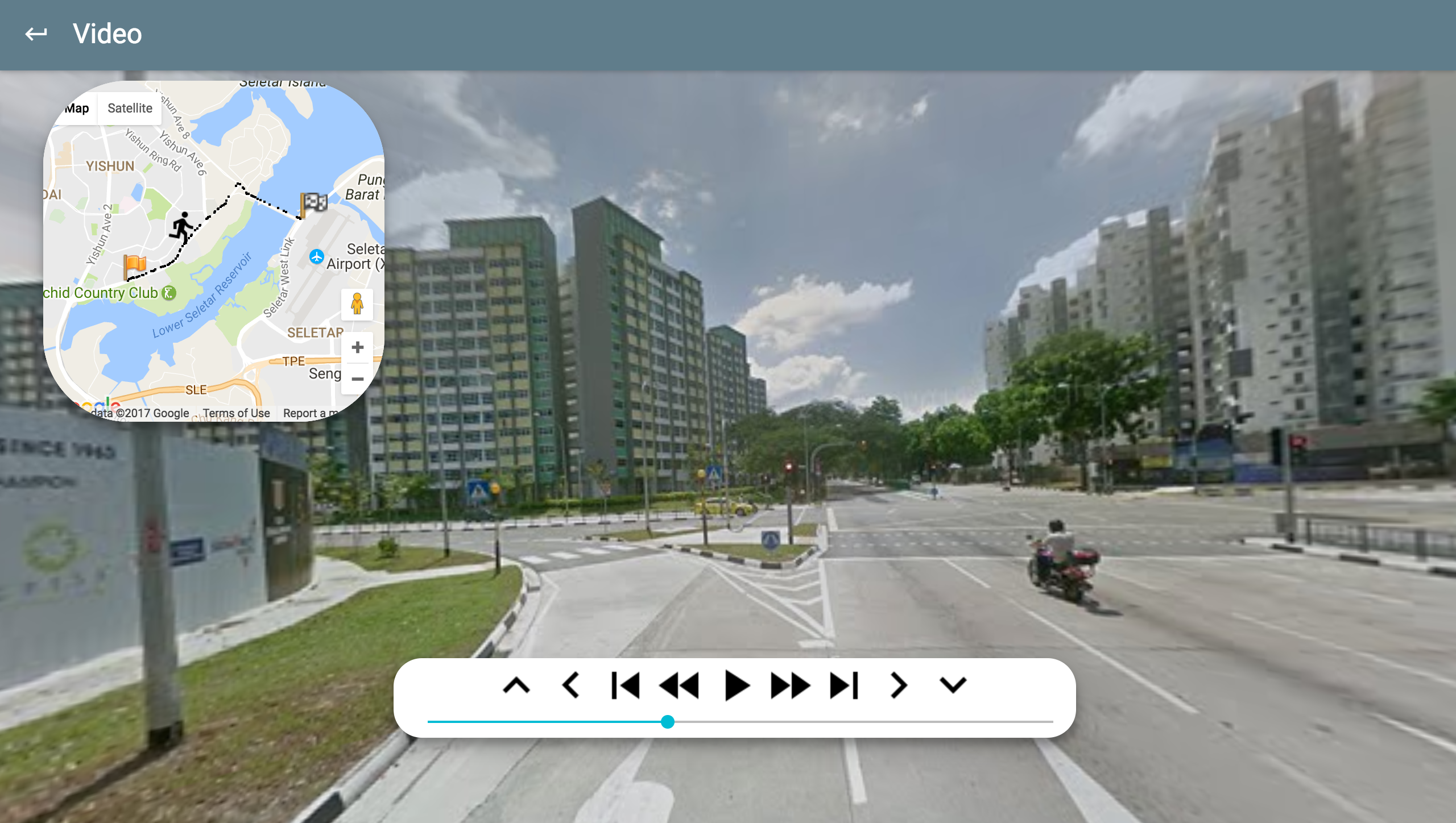
-
Video Page This page allows users to view the video in 3D.