This repository accompanies this Medium Article https://medium.com/@andrewdaviesul/membership
The project aims to provide an implementation of a Tensorflow U-Net model for the semantic segmentation of aerial imagery.
Photo by ZQ Lee on Unsplash
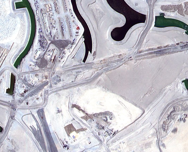
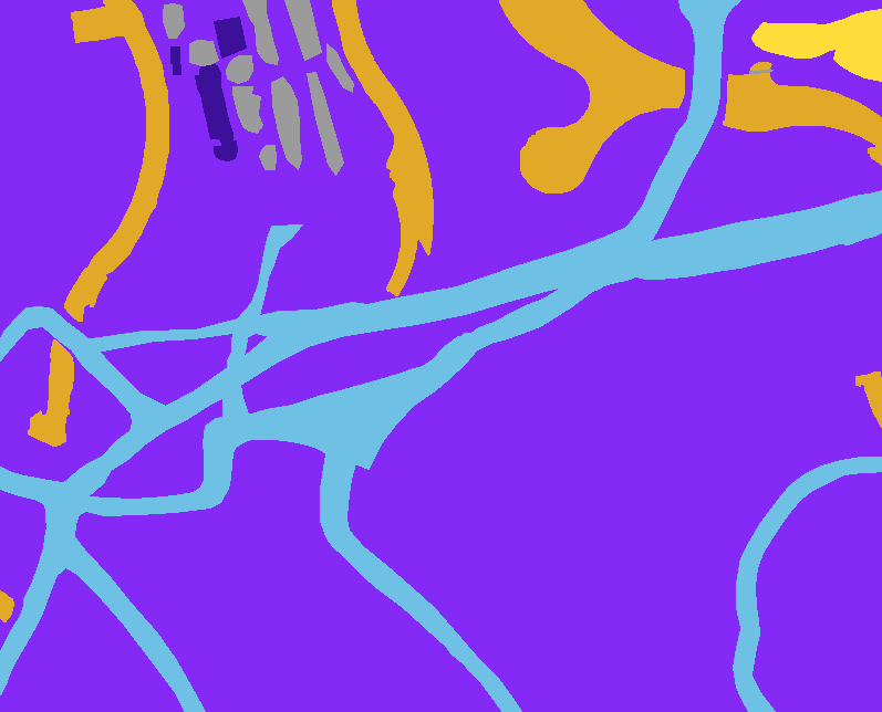
The MBRSC dataset exists under the CC0 license, available to download. It consists of aerial imagery of Dubai obtained by MBRSC satellites and annotated with pixel-wise semantic segmentation in 6 classes.
| Training Data Image | Training Data Mask |
|---|---|
 |
 |
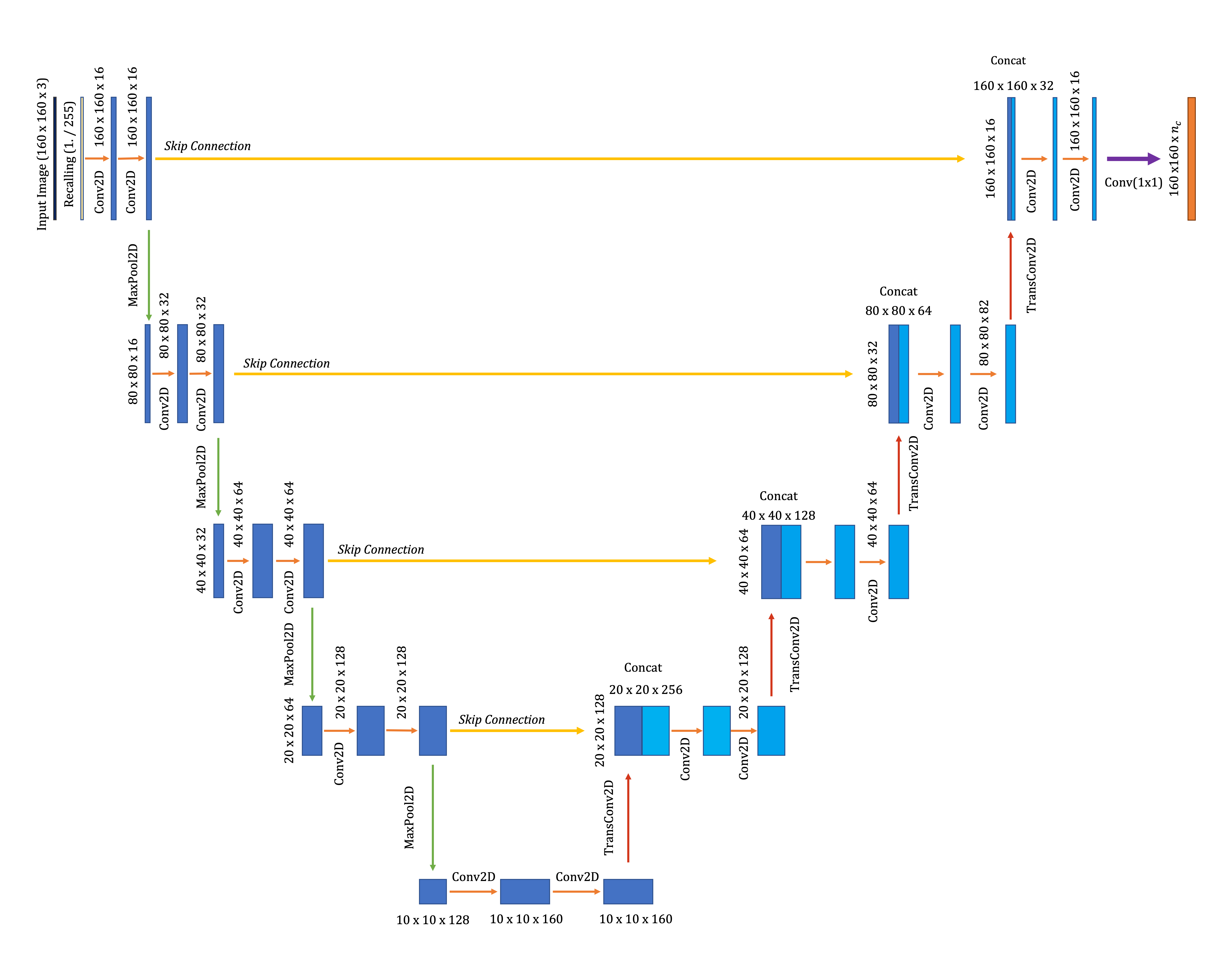
A simple U-Net model is used for the semantic segmentation. The model architecture is illustrated below. U-Net consists of two critical paths: 1) Contraction 2) Expansion
Filters in the expansive path contain high level spatial and contextual feature information. Detailed fine-grained structural information contained in the contraction path.
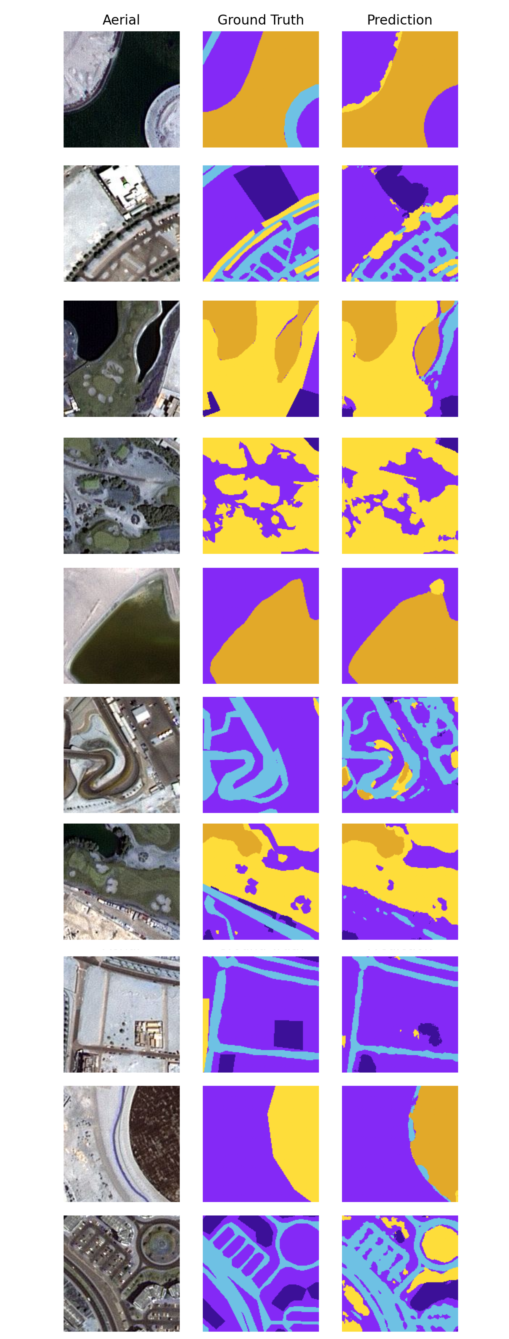
Below is a visualisation of ten outputs portraying the patched aerial image of Dubai, the ground truth mask and the U-Net segmentation prediction.


