QGIS plugin from Isogeo, a SaaS software to give an easier access to geodata. Equivalent of plugins for ArcGIS.
You can see and vote for this plugin on the official QGIS extensions website.
Online documentation is available here.
Allow Isogeo users to search for datas in their own and external metadata catalogs and add it to a QGIS project. Its goal is to improve access to internal and external geodata.
It's based on Isogeo API:
- REST-ful
- oAuth2 protocol used to authenticate shares
It's fully integrated with QGIS ecosystem:
- PyQGIS 3
- PyQt 5.11.x
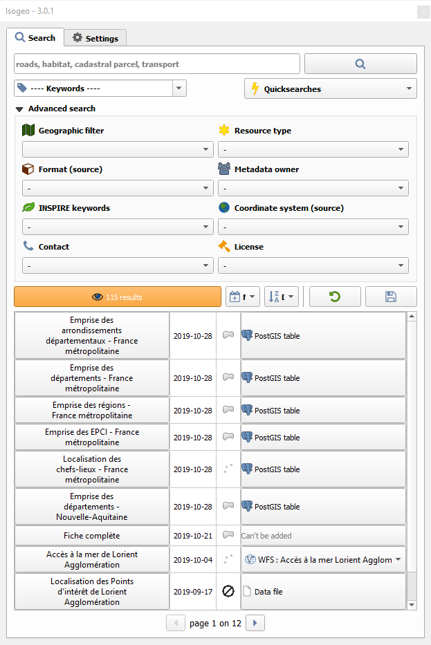
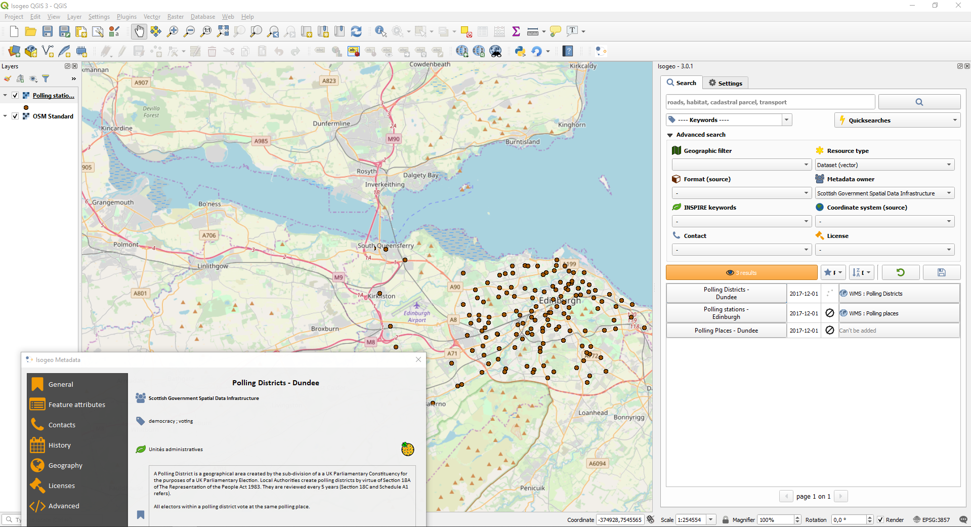
- Text search among Isogeo shares
- Dynamic filter on keywords, INSPIRE themes, group themes, catalog owners, source coordinate system, license, data type (vector, raster...), source format and contacts
- Geographic filter from a layer bounding box
- Geographic filter from the map canvas bounding box
- Order results by relevance, alphabetic, last updated date (data or metadata), creation date (data or metadata)
- Add the related data directly to the map canvas throught raw data or web services
- Display full metadata information in a separated window
- Save search bookmarks
| Without any search | With some filters |
|---|---|
 |
 |
In a nutshell:
- QGIS Plugins menu -> Manage and Install Plugins...;
- Search for isogeo, select it and install it.
If you want a more advanced version, check the box allowing experimental extensions in settings.
See the documentation:

