This project is based of the AIcrowd competition LNDST to Detect water bodies from satellite Imagery
Due to global warming, sources of water are chaing quite dramtically over the years, A place which was a big lake few year ago, now it's a land!!.
So, that's why i made this project to help finding water sources automatically from satellite images using by Image Segmentation using Deep Learning & Computer Vision.
So, here are some details about the project -
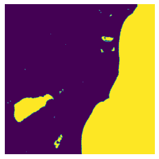
- The DL model takes an image and then outputs another image but it contains segmentation between water and simply background/land.
I used Unet model which is quite good in image segmentation task, i used resnet34 deep for as a transfer learning in Unet, also the model is completely made using fastaiv2
- FastAI - This is the library to build the DL Model ( Unet ) and training, inference.
- Weights & Biases - I did a lot of experimentation, so Weights & Biases helpes me a lot of saving my experiments.
And bunch of other libraries including os, time, numpy, cv2.
The dataset is from AIcrowd LNDST competition
The dataset contained 1399 training images with corresponding mask and 467 testing images.
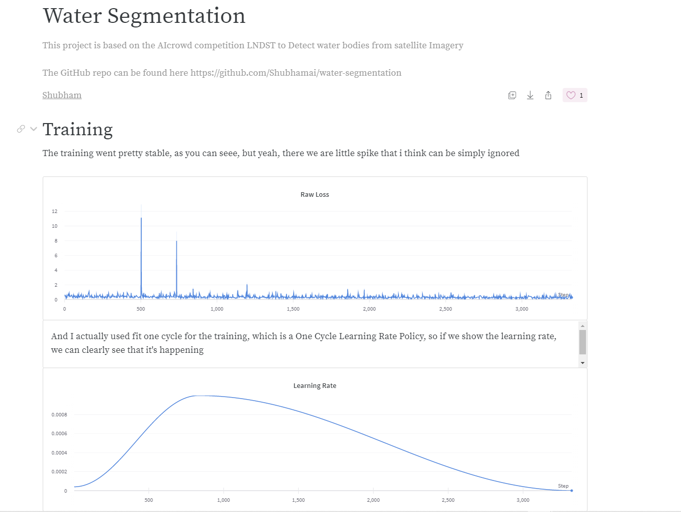
The report for this project in Weights & Biases can be found here
Below are the steps to run the application in your PC or laptop, whatever.
- Python 3.x - You can download python in Official Python Site.
- Clone the repo using
git clone https://github.com/Shubhamai/mask-detector-app.git - No
requirements.txtsorry, it's because i run most of the code in google colab, but here are some main library versions that i used -
- FastAI - 2.0.0
- Run
jupyter notebookand openWater Segmentation.ipynb - Enjoy 🎊
Distributed under the GNU General Public License v3.0. See LICENSE for more information.
Shubhamai - @Shubhamai - shubham.aiengineer@gmail.com
Website - Shubhamai.com


