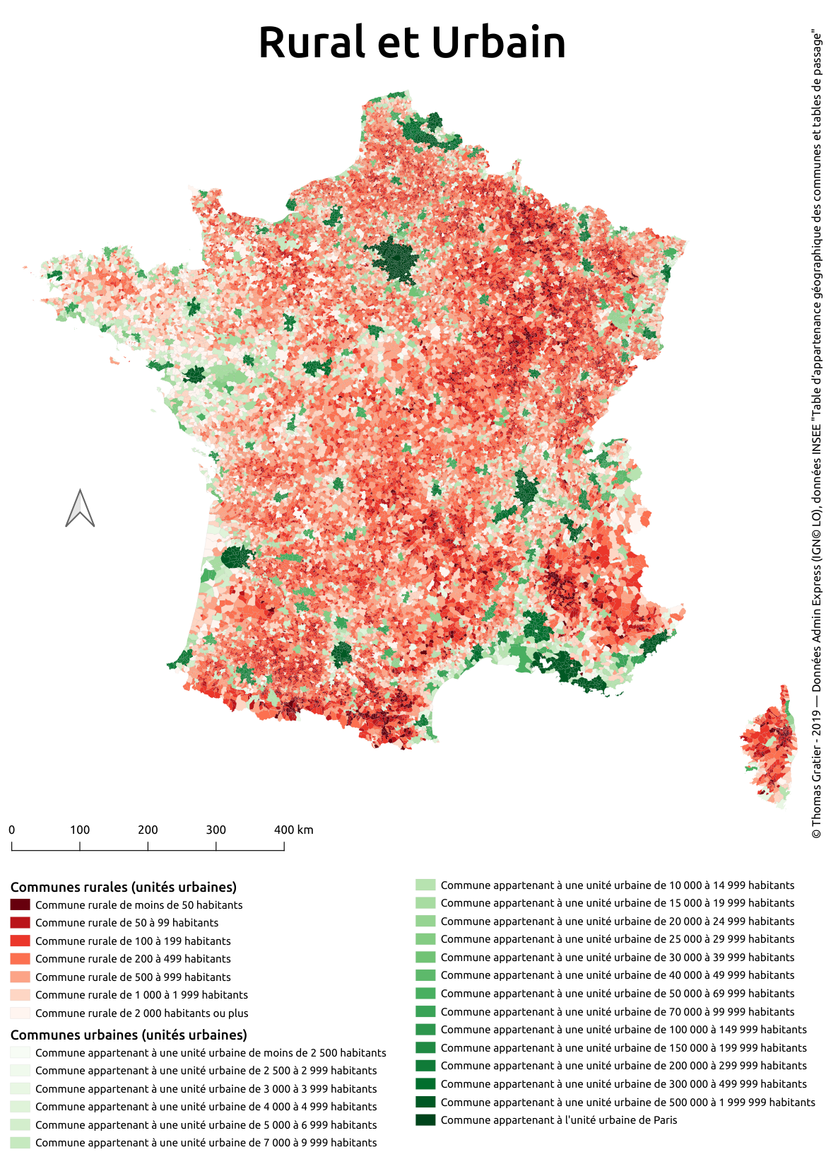
Original idea from https://twitter.com/tjukanov/status/1187713840550744066
Starting from November, make a map following the schedule below:
-
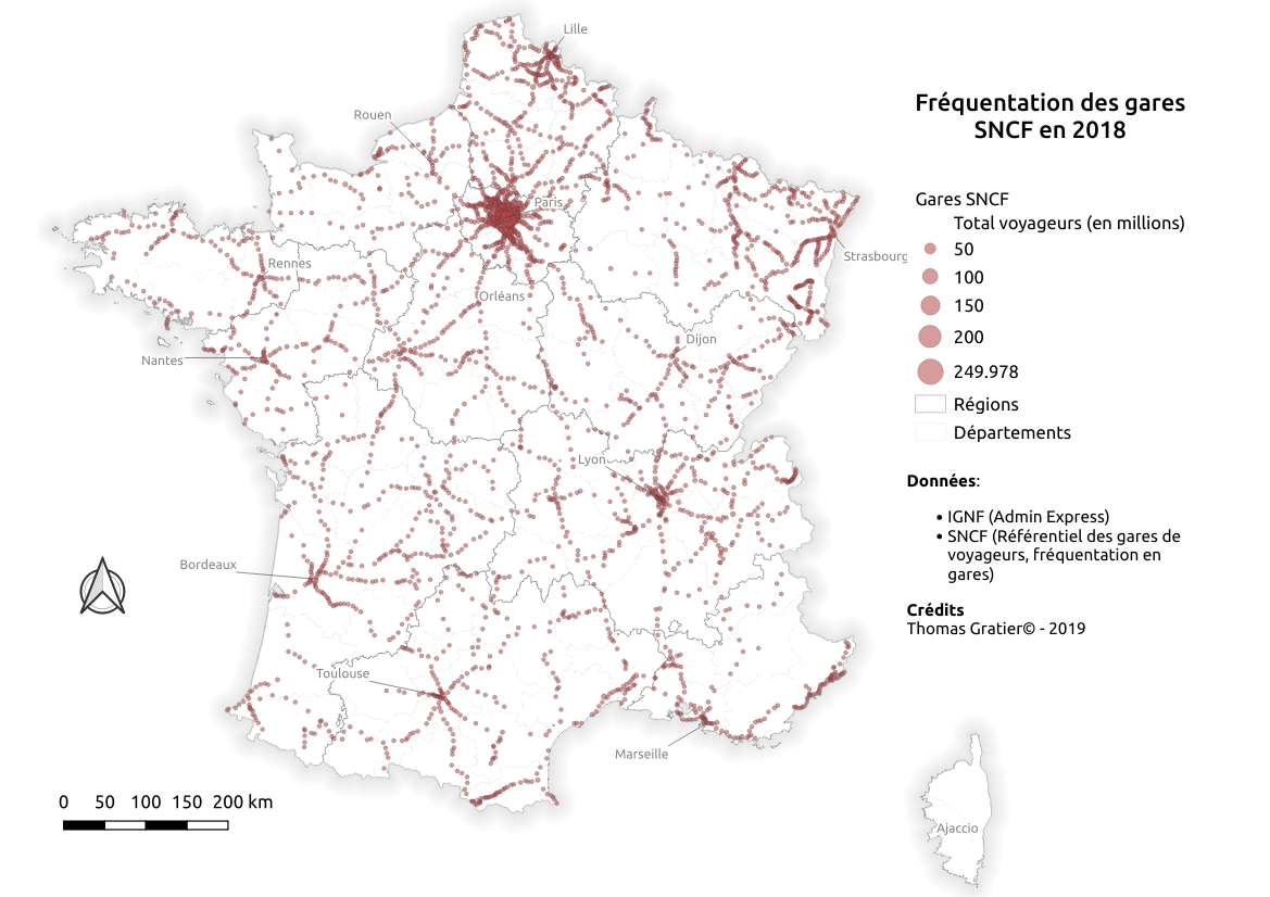
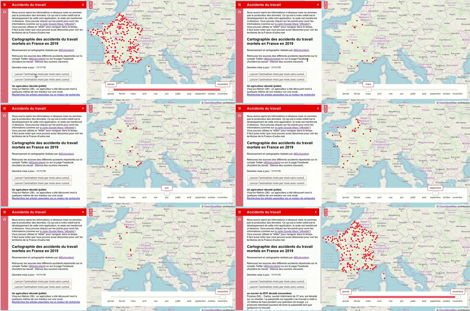
1. Points
-
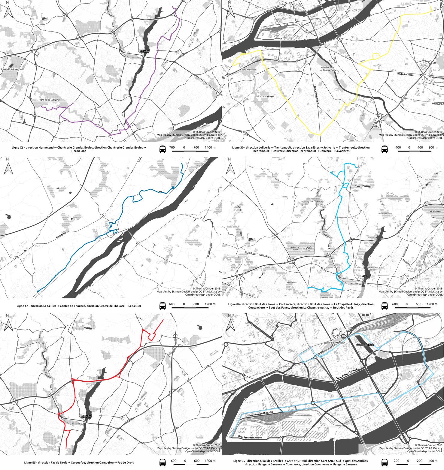
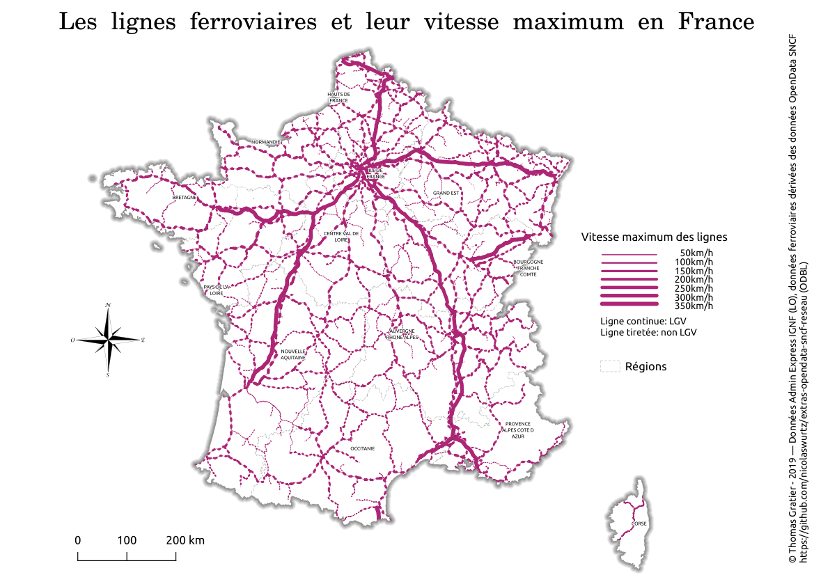
2. Lines
-
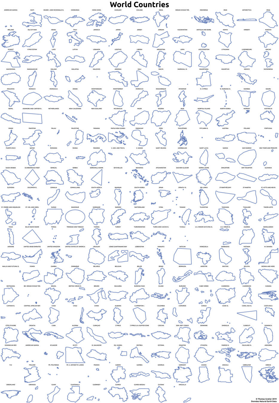
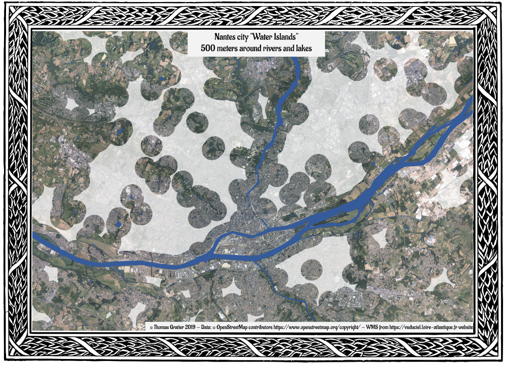
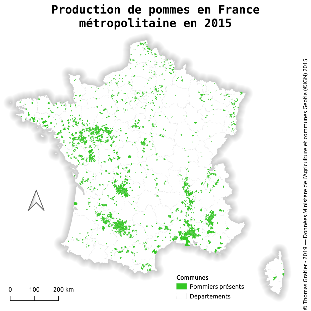
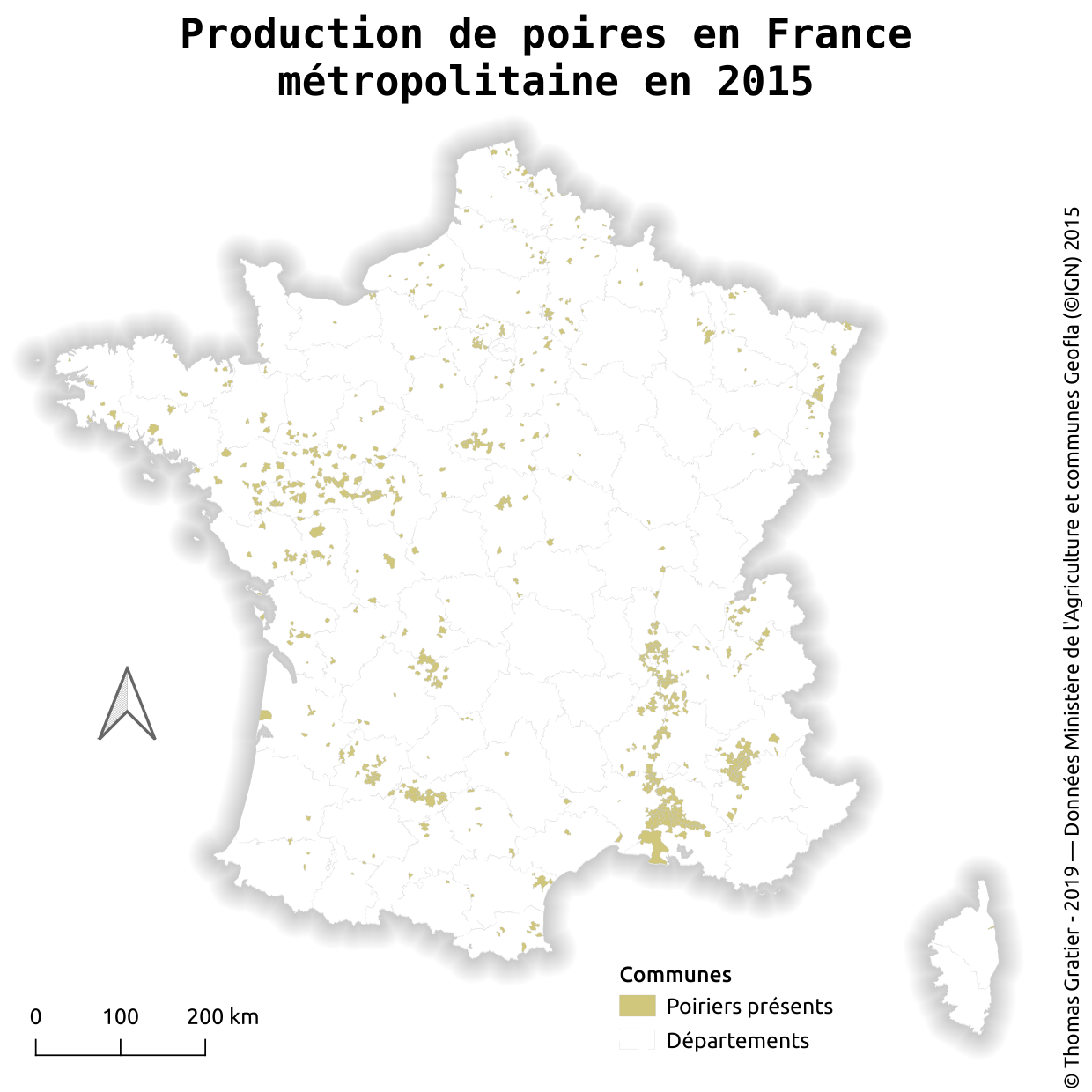
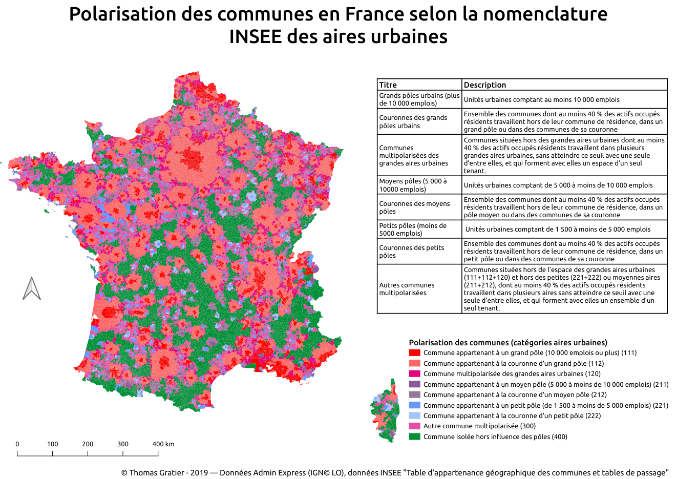
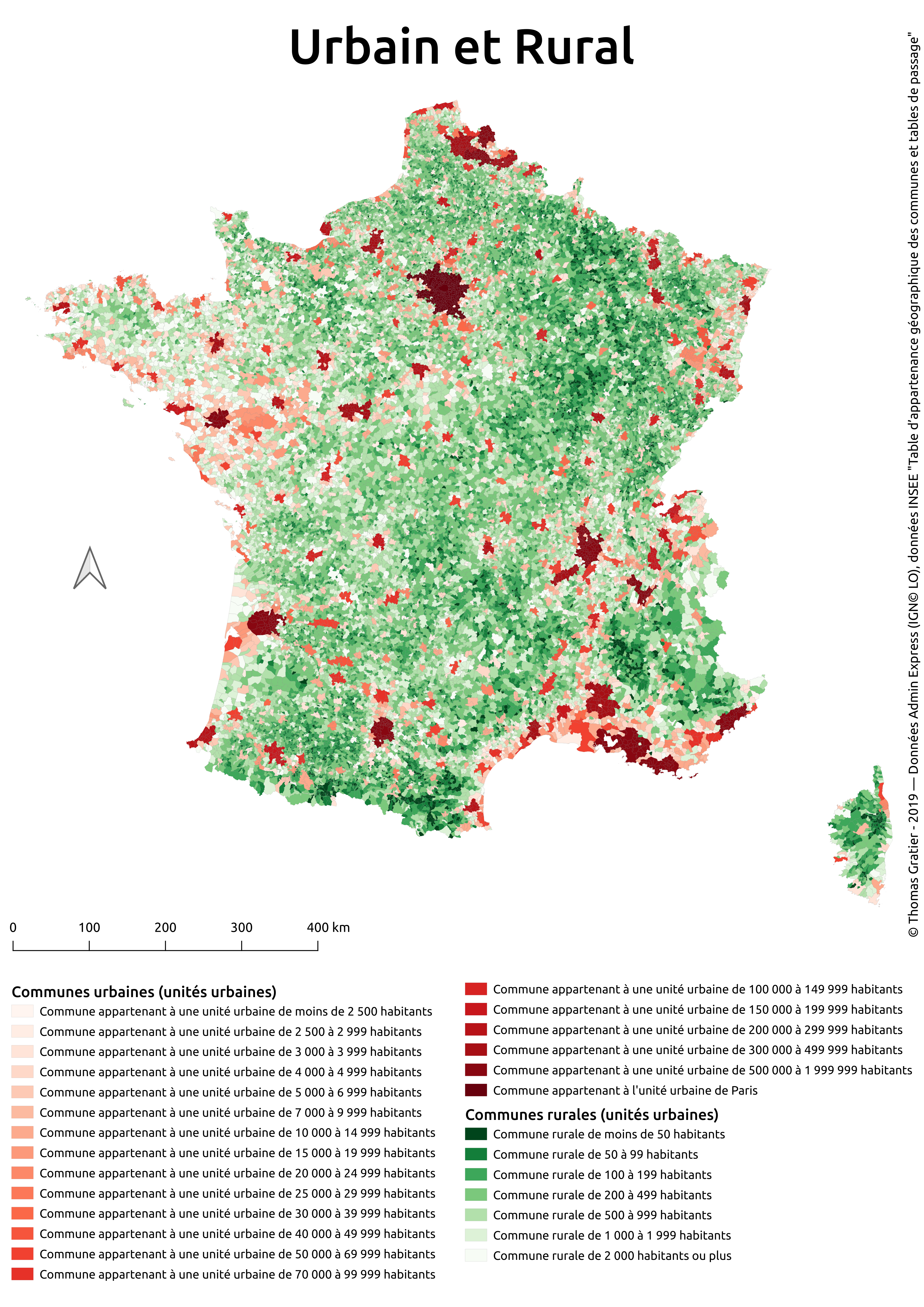
3. Polygons
High resolution image available in
day3_polygonsdirectory -
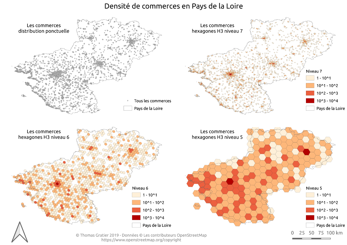
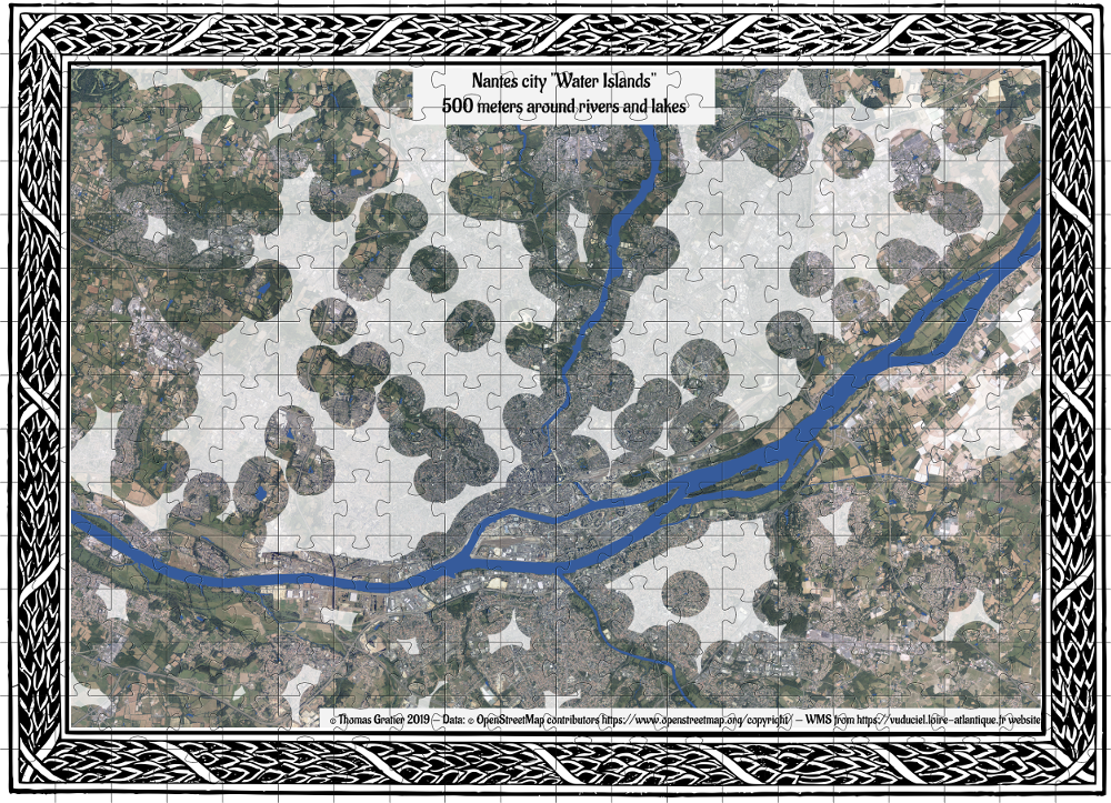
4. Hexagons(!)
-
5. Raster
-
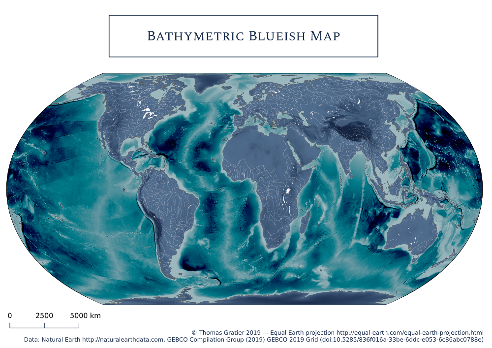
6. Blue
-
7. Red
-
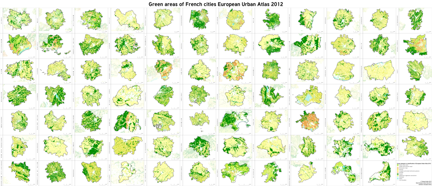
8. Green
-
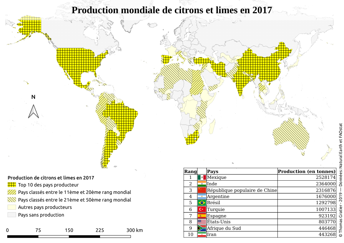
9. Yellow
-
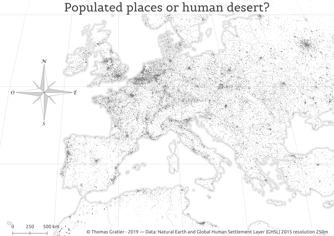
10. Black and white
-
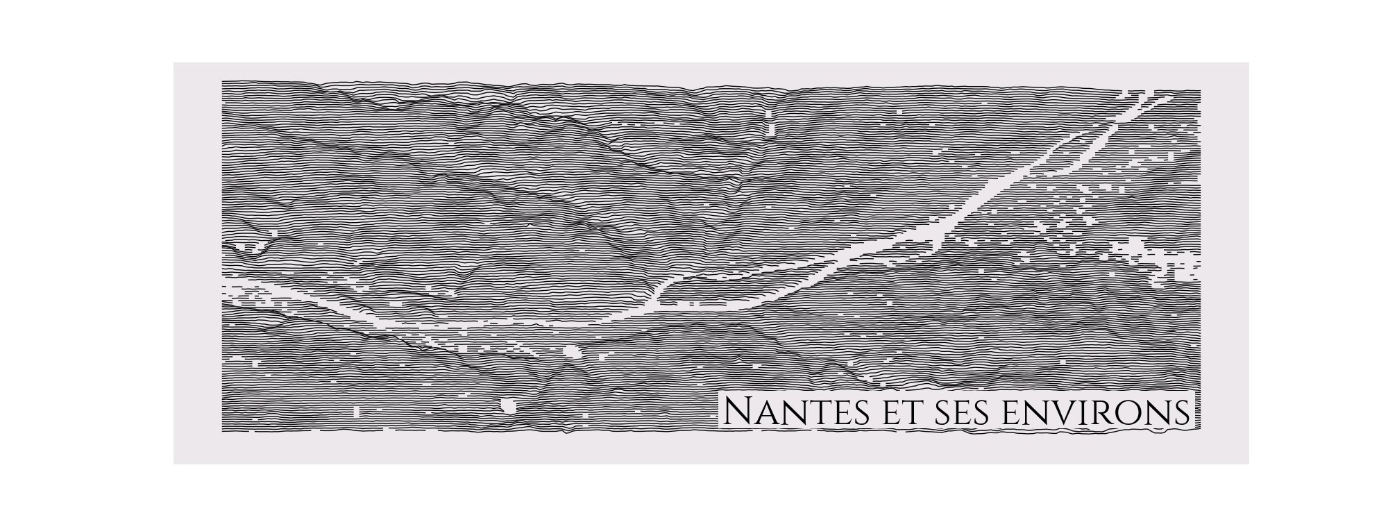
11. Elevation
-
12. Movement
-
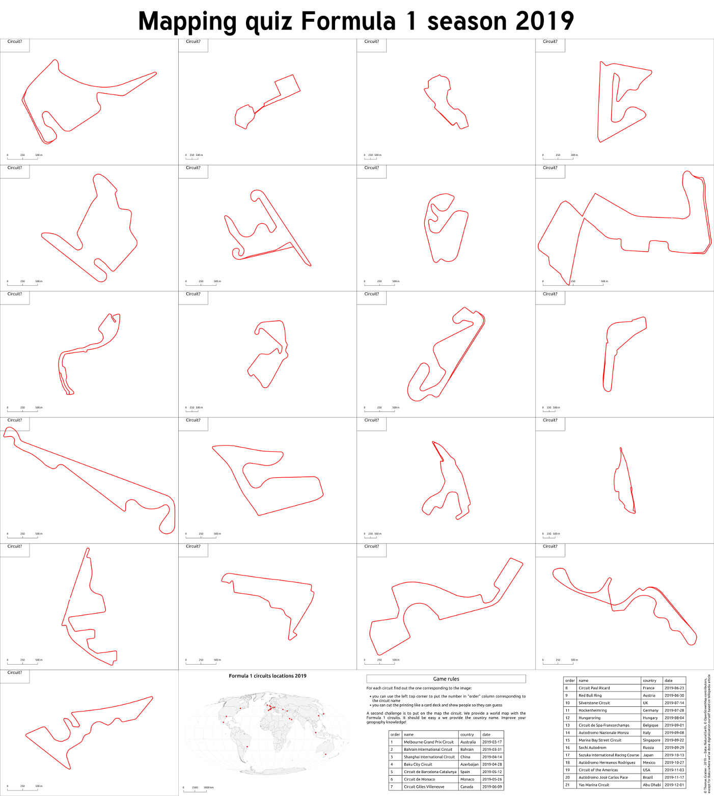
13. Tracks
-
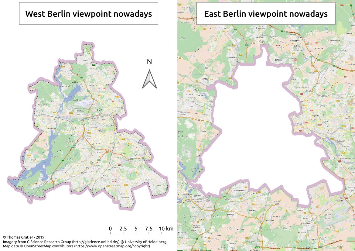
14. Boundaries
-
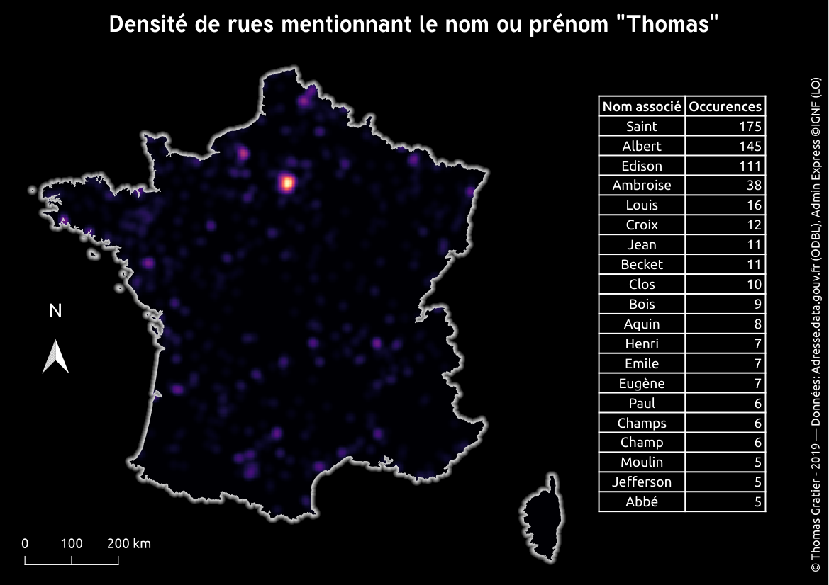
15. Names
-
16. Places
-
17. Zones
-
18. Globe
-
19. Urban
-
20. Rural
-
21. Environment
-
22. Built environment
-
23. Population
-
24. Statistics
-
25. Climate
-
26. Hydrology
-
27. Resources
-
28. Funny
-
29. Experimental
-
30. Home
