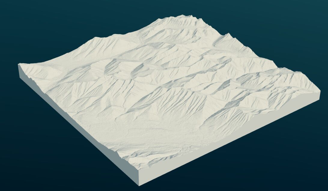
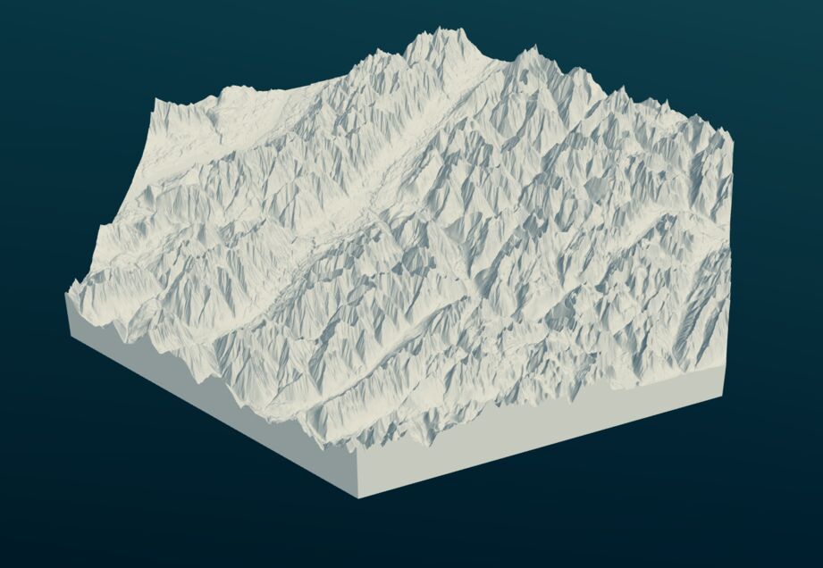
hTile
Convert geotiffs and other images to STLs for printing or machining.
Getting Data
If you are looking for topographic data to use with this, I recommend
getting it from https://e4ftl01.cr.usgs.gov/MEASURES/NASADEM_HGT.001/2000.02.11/ https://www.eorc.jaxa.jp/ALOS/en/aw3d30/
Usage
> hTile --help
Usage: hTile (-i|--input SOURCE) (-o|--output TARGET) [-h|--hex]
             [-s|--scale ARG] [-p|--pitch ARG]

Available options:
  -i,--input SOURCE        Source image
  -o,--output TARGET       STL destination
  -h,--hex                 Build hexagonal prisms
  -s,--scale ARG           Scale factor from geotiff values to STL units
                           (default: 100.0)
  -p,--pitch ARG           Pixel pitch of geotiff measured in geotiff values,
                           e.g. SRTM data -> 30 m/pixel (default: 30.0)
  -h,--help                Show this help text
The hex output option also performs a bilinear resampling of the input data on a regular hexagonal grid. This produces more aesthetically pleasing surfaces in the STL, since the surfaces are composed primarily of nearly equilateral triangles.
Known Bugs
- Breaks on tif files with nonstandard metadata which includes many geotiffs.
This is a problem upstream with Juicy-Pixels. The workaround is to
preprocess the images by stripping the meta data with
mogrify -strip inputFile.tif
1: preview rendered with https://www.mattkeeter.com/projects/fstl/


