There may not be a linnear path here so roughly chronogicaly with loops are the plain text READMEs I tend to generate for myself in passing.
Climate/README_backfill.txt was the first thing I looked into when Bryan posted the Dogwood data. Seemed having climate data going back covering older phenophase reports could help train the ML.
note: there is a forked repo Climate/daymet-single-pixel-batch with the daymet pixle stack puller I wrotre after considering theirs.
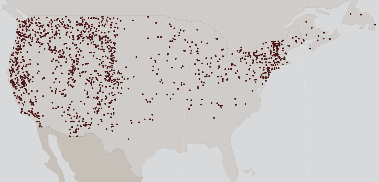
A quick glance at the locations needing backfilled climate data

It is not left in a horible state (okay maybe it is), but it is not done . The full season values should usable if need be (only back to 1980) but it does not stop and provide the partial accumulations on each day of an observation.
README.postgis is about setting up postgres/postgis to hold the various geographic datasets (CONTUS focused) & qgis to visualize it. Starts with loading in the PRISM plant hardyness index as vector shapefiles to provide a quasi-static climate summary.
README_Soil.txt First brutal exposure to raster Geotiff data. Has a nunber of layers each the color of the soil at a given depth. another constant per location for the machines to chew on.
README.premise_test It started bugging me that we seemed bent on relying on difference without characterizing what the same meant.
README.current_sample_selection learned another team was looking into this Dogwood sample choice as well. Augmented their results with the Prism data I had ready.
README.premise_redo Return to charaterizing what the data we have says about our basic premise but with slightly different assumptions (first individual report instead of average of reports and a slightly different set of particular phenophases). This doc is drifting off into data interpertation questions.
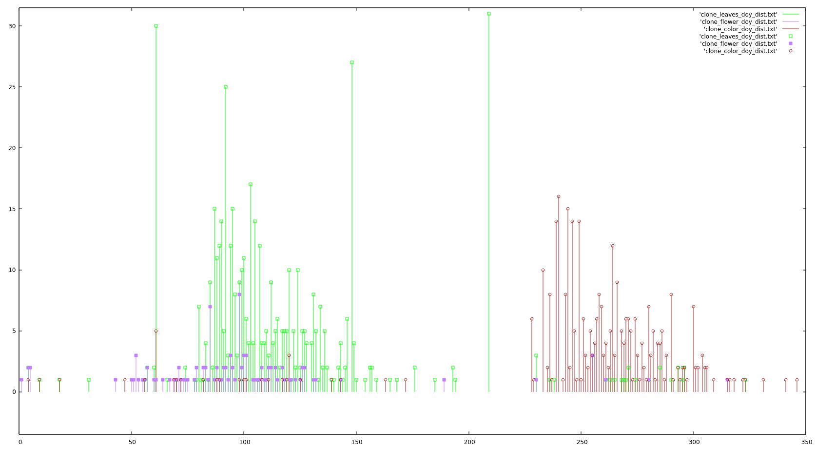
Here is a image generated there of the distribution of phenophase reports over "day of year"
for flower/bud (purple), leaf(green) and 'colored leaf' (brown)

There is a WorldClim (raster) load in process, just elevation in so far.