Satellite and Drones for Urban Development
View Demo
·
Report Bug
·
Request Feature
.
Deployed Instance
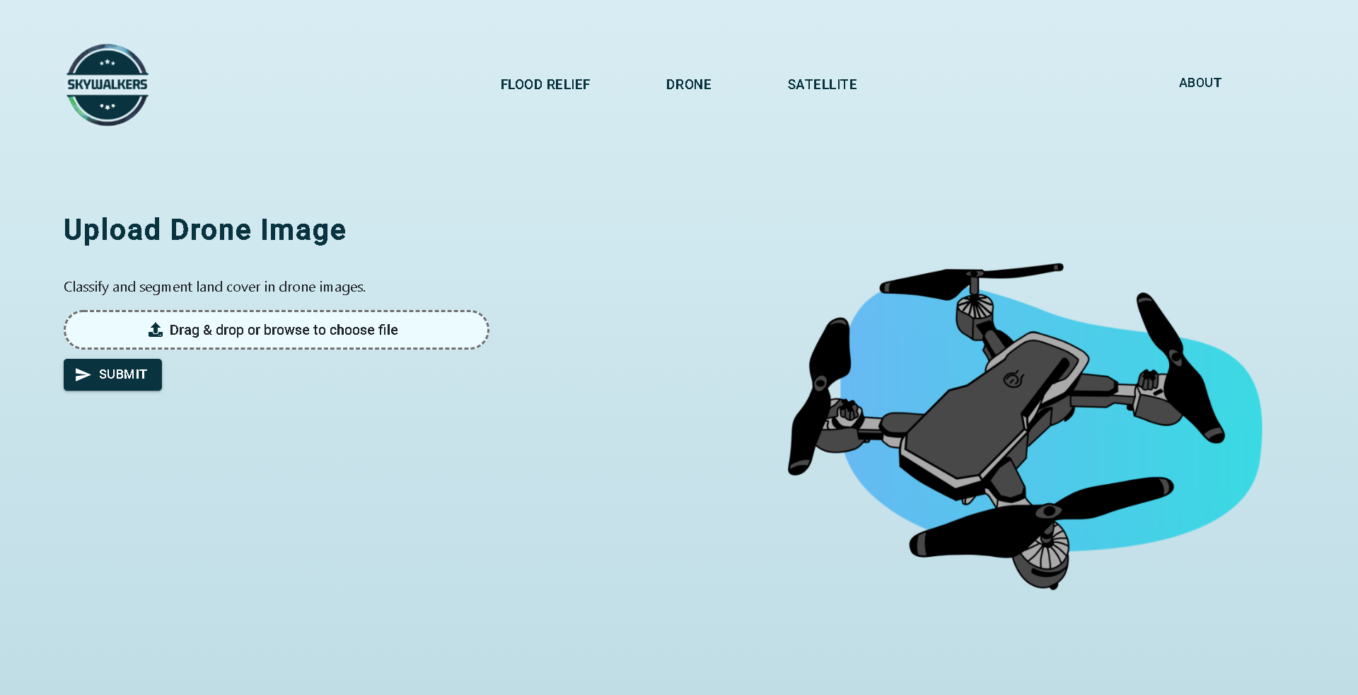
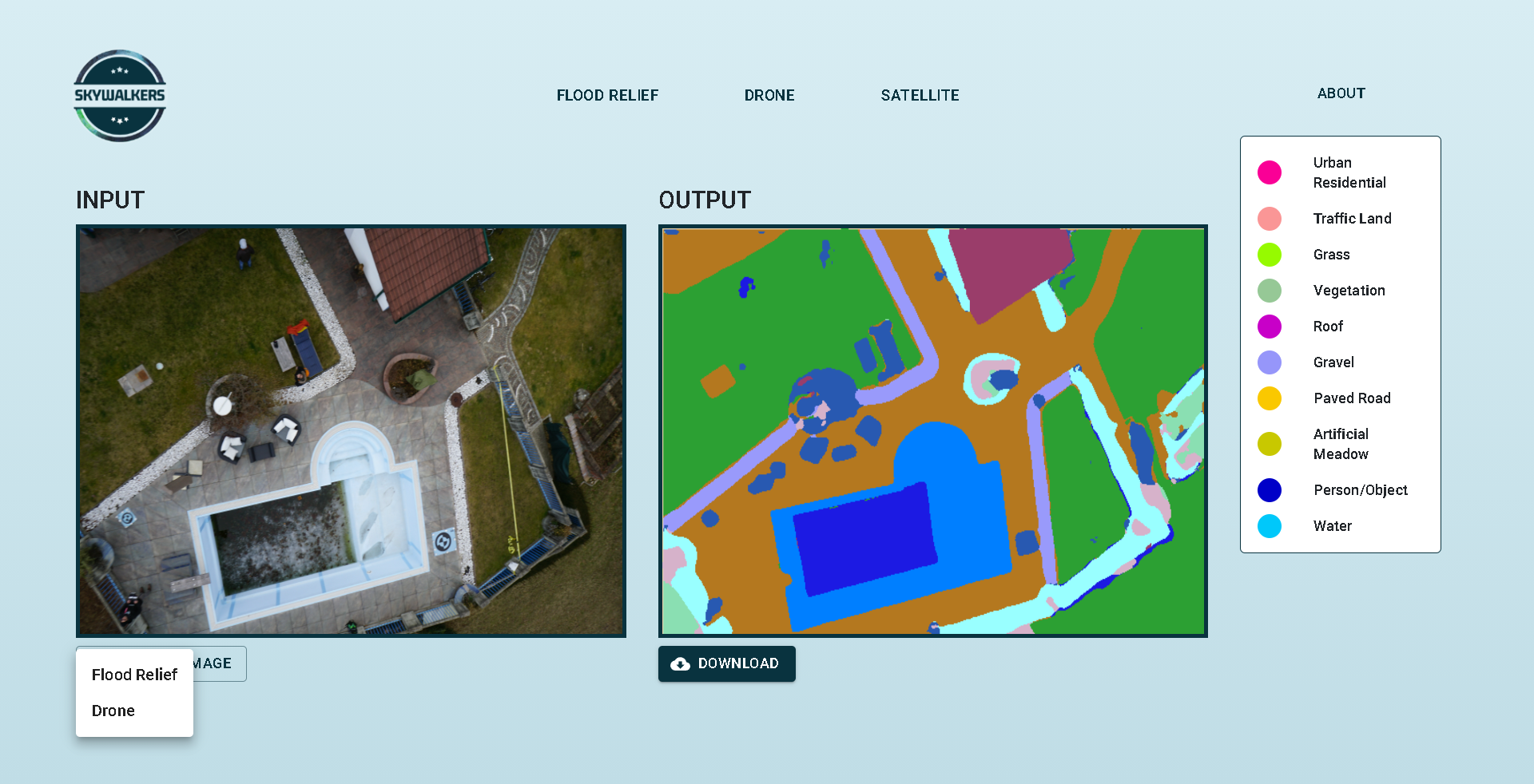
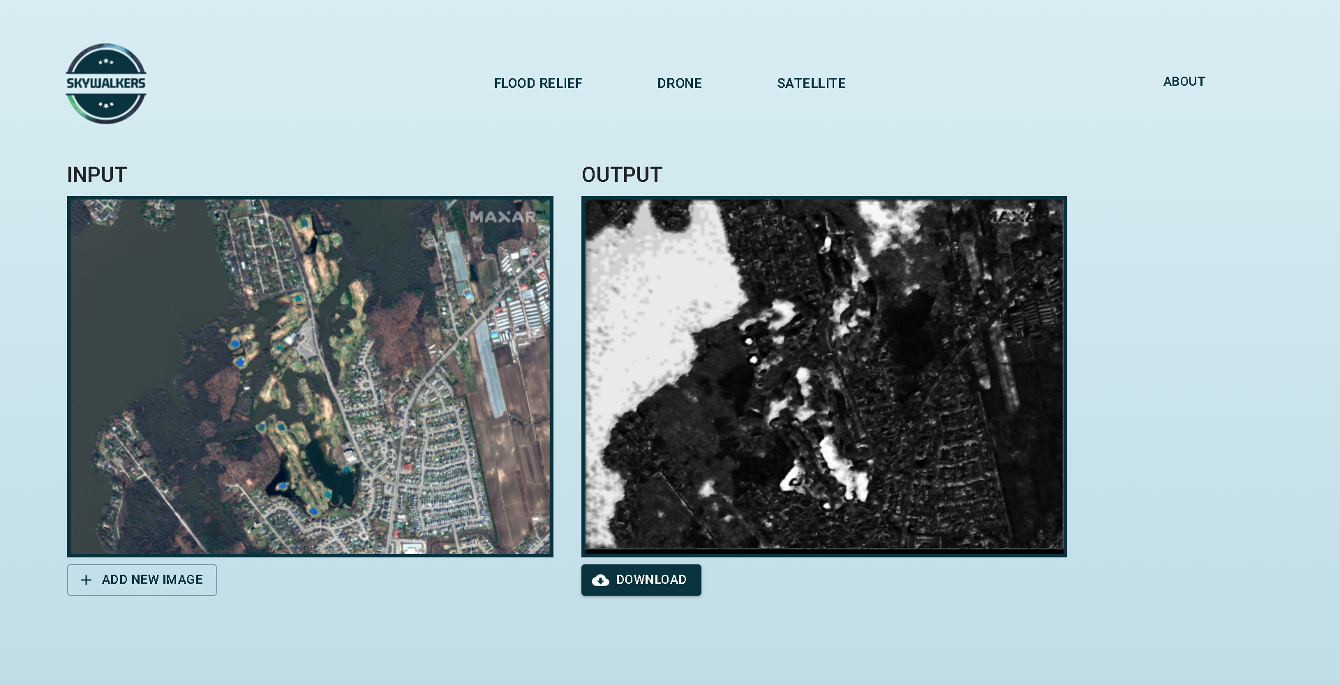
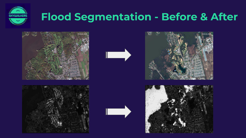
Land cover data documents how much of a region is covered by forests, wetlands, impervious surfaces, agriculture, and other land and water types. The different types of land cover can be managed or used quite differently. This can be determined by analyzing satellite and drone imagery and that is what we have done. We have created an accessible and robust website made using ReactJS that will perform land cover segmentation and classification from satellites and drones at the click of a button powered by powerful deep learning models served by FastAPI. We have also showed how drastically land cover changes have occurred due to environmental calamities such as thunderstorms and floods.
To get a local copy up and running follow these simple steps.
-
Setting up the FastAPI local endpoint:
-
cd to the FastAPI server folder
cd
cd server/fastapidrone
-
Install prerequisite packages
activate your virtualenv
pip install -r requirements.txt
-
Run FastAPI server at a deployable localhost endpoint
python app.py
-
-
Setting up the web application :
-
Clone the repo
git clone https://github.com/Lucifer8729/NSAC-Team-Skywalkers-2021.git
-
cd to the Flask folder
cd client -
Install dependencies and create React app
npm install
npm start
-
- Implementing deep learning models to perform land cover segmentation and classification and serving them at an endpoint using FastAPI.
- Annotating and segmenting out images of flood affected areas from satellite images.
- Accessible, interactive and robust web application built on ReactJS and FastAPI.
Ved Prakash Dubey - Linkedin
Saurav Kumar - Linkedin
Aakash Gupta - Linkedin
Aniket Agarwal - Linkedin
Tanvi Gupta - GitHub
Rishy Parasar - Linkedin


