Geepy is built up on Google Earth Engine's python api with a goal in mind of simplifying the process to access imagery for a particular area of our interest. The tool allows users to leverage ESRI's shapefile to crop and interact with a product.
Geepy also lets users download certain products for a time-series analysis by cropping and extracting image collections by the temporal resolution (e.g, 16-day, pentad, 1-day...) of the product. Hence, data for each temporal span will be exported as an individual geoTIFF file.
from github:
git clone https://github.com/adbeda/geepy
cd geepy
pip install e .
Follow instructions from Google Earth Engine Install
Example: Get CHIRPS (rainfall) data for our study area sample.shp.
import geepy

task = geepy.get_chirps("UCSB-CHG/CHIRPS/PENTAD",
                        "../data/sample.shp",
                        "2017-11-01", "2018-01-05",
                         export=False)
The above script returns an image collection for the time period specified and if we want to, for instance, count the number of images/bands it contains, we can do:
num_bands = len(task.getInfo()['features'])
print(num_bands)
output:
>>> 13
Alternatively, we can download the product by saving the bands individually.
This can be done with the export=True option and starting the downloading task.
task = geepy.get_chirps("UCSB-CHG/CHIRPS/PENTAD",
                           "../data/sample.shp",
                           "2017-11-01", "2018-01-05",
                           export=True)

task.start()
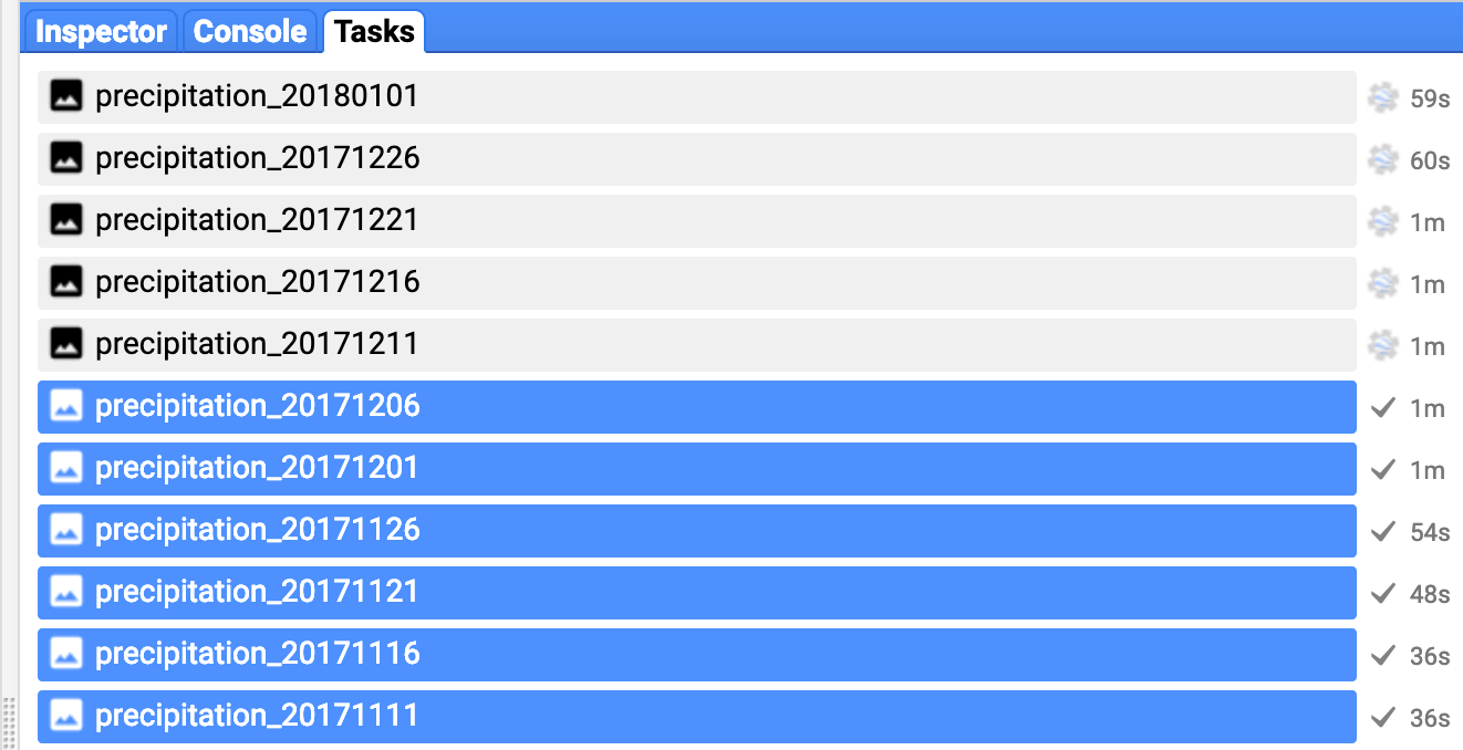
If job is successfully submitted, the task will show up on the GEE's web-based IDE under the tab 'Task Manager'.
Geepy can be accessed from terminal as well. Currently, 5 commands are supported and more will be to be added to support a wide variety of products.
   Usage: geepy [OPTIONS] COMMAND1 [ARGS]... [COMMAND2 [ARGS]...]...

        Access Google Earth Engine Products by Area of Interest

Options:
  --help  Show this message and exit.

Commands:
  check-features     check shapefile readiness for processing
  check-metadata     check an image product's meta data
  download-chirps    download chrips imagery by area of interest
  download-modis     download modis products in area of interest
  download-sentinel  download sentinel imagery by area of interest
To replicate the above example, we can request batch download on terminal with:
geepy download-chirps -p 'UCSB-CHG/CHIRPS/PENTAD' -a 'data/addis_abeba.shp' -sd '2017-11-01' -ed '2018-01-05'
output on console:
        Total number of bands requested: 13

    submitted precipitation_20171101 for downloading
    submitted precipitation_20171106 for downloading
    submitted precipitation_20171111 for downloading
    submitted precipitation_20171116 for downloading...
