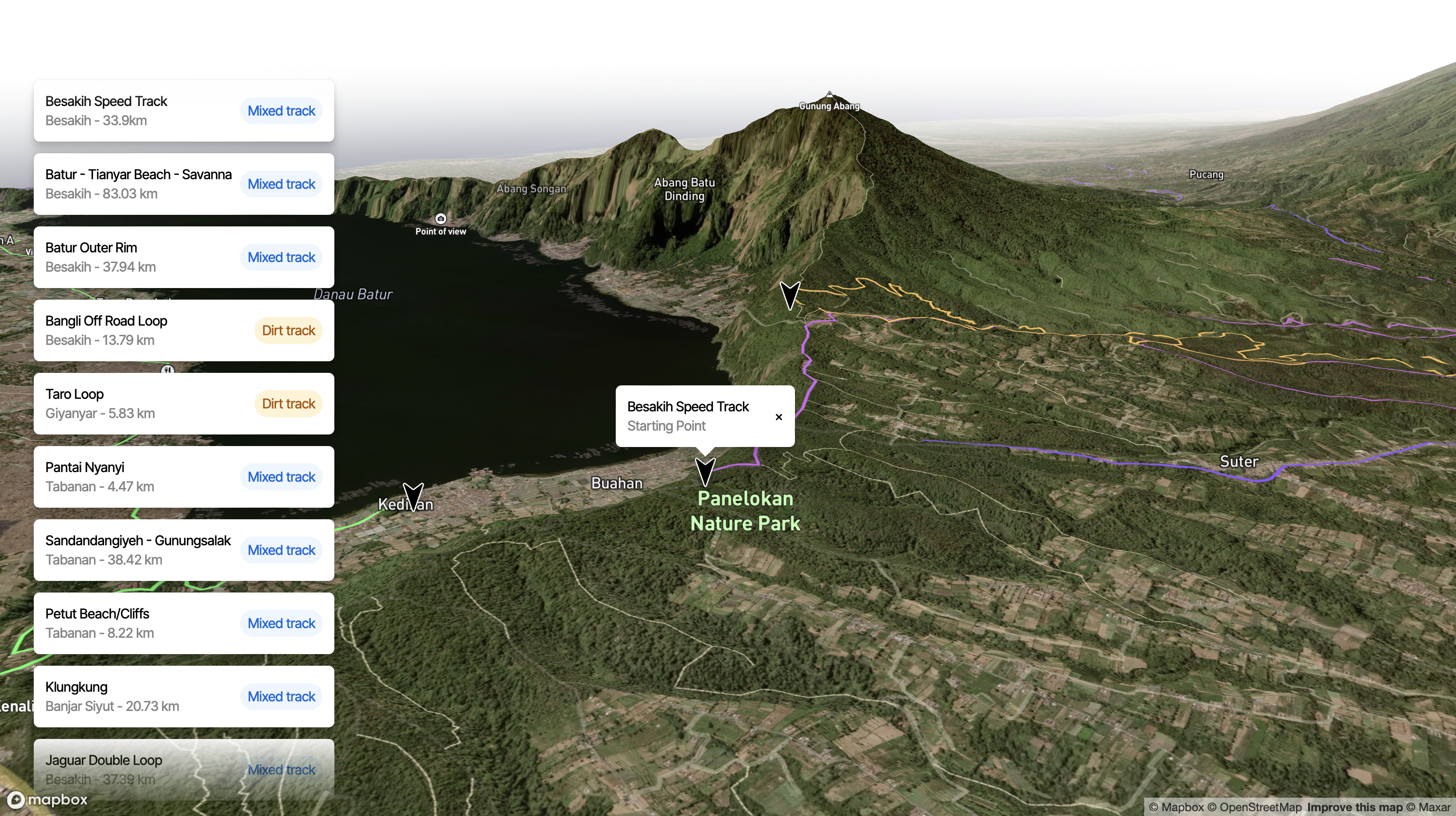
An interactive map with a curated collection of enduro dirt bike tracks in Bali. See for yourself: https://dirt-tracks.vercel.app/
- Interactive map of Bali highlighting off-road motorbike tracks.
- Basic information about 10 tracks, including length, area, start point
These instructions will get you a copy of the project up and running on your local machine for development and testing purposes.
- Node.js
- npm
- Clone the repository: git clone https://github.com/aexshafii/dirt-tracks.git
- Navigate into the project directory: cd dirt-tracks
- Install the dependencies: npm install
- Start the development server:
npm run dev
The application will start running at http://localhost:3000.
Add any geojson file to the public/tracks folder and it will render on the map. If you have a gpx or kml you can use the following tool to convert it into a geojson file: https://mapbox.github.io/togeojson/
Name your geojson file following this naming convention: my_track.geojson
For now, the properties seen on the interactive chips and starting point coordinates need to be manually added to the app/data/spots.json file. To do so, copy this object and append it to the existing list and modify the properties and coordinates as needed.
{ "type": "Feature", "geometry": { "type": "Point", "coordinates": [115.3983956, -8.2217413] }, "properties": { "id": 10, "name": "Batur to Ubud", "area": "Besakih", "length": "114.93 km", "type": "mixed track" } }
This project is licensed under the MIT License - see the LICENSE.md file for details.
- Thanks to all the riders who have contributed their favorite tracks
- Special thanks to Andy brooker who built the initial project Dirt Tracks is based on https://github.com/andybrooker/spots
