This repo consists of two components created to minimize the response size of WFS requests.
This experimental software is part of a test of integration of a Big Spatial Data platform (Hadoop, HBase, GeoWave and GeoServer).
It is a GeoServer WPS module to package features of a Vector Layer, or a SimpleFeatureCollection, to a binary stream. It minimizes the size of the response compressing the feature information as far as possible.
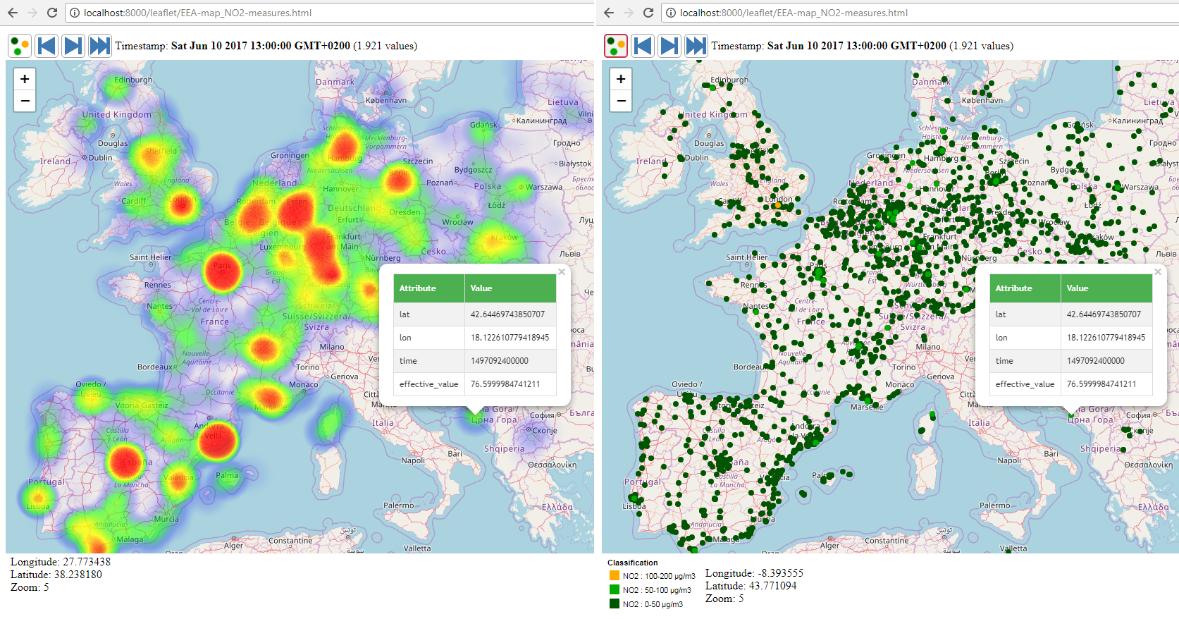
Web Mapping client using Leaflet to test the 'PackageFeatures' module. The map gets the features using the current map bounds and executing a WPS request.
The application draws the features in a Heatmap, or drawing the points with a ramp color.
