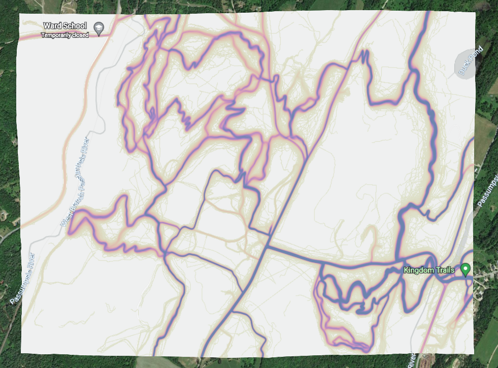
Generate KMZ files from the Strava Global Heatmap. This allows you to use the heatmap as a map layer (currently 1000×1000 pixels) on a mobile device (e.g. iPhone or Garmin), which enables offline use and helps you to locate where the hell you are in the woods.
- Node.js
- NPM
npm run start -- <lat> <lon> <sessionID> [colorFlag]
The -- end of options flag is important, because it allows for negative numbers in coordinates.
sessionID can be found when logged into to a Strava session. It is the _strava4_session cookie.
For example:
npm run start -- 42.32733,-72.70095 stravasessionid108
colorFlag sets the color of the heatmap trace. If none is provided, defaults to 'gray'
| optional flag | result |
|---|---|
| h | "hot" |
| r | "red" |
| b | "blue" |
| g | "gray" |
| p | "purple" |
The program loads the Strava Heatmap in a headless puppeteer browser and takes a snapshot of the page and saves the map bounds. It then constructs a KML file declaring an image overlay positioned using the map bounds loaded previously. It then zips up this KML file along with the snapshot image, creating a KMZ that can be used in Google Earth and other programs. KMZ files are saved in the same directory as the script, with the convention of <lat>-<lon>heatmap.kmz.
- Use proper CLI option parsing
- Make map size configurable
- Allow for declared output path
