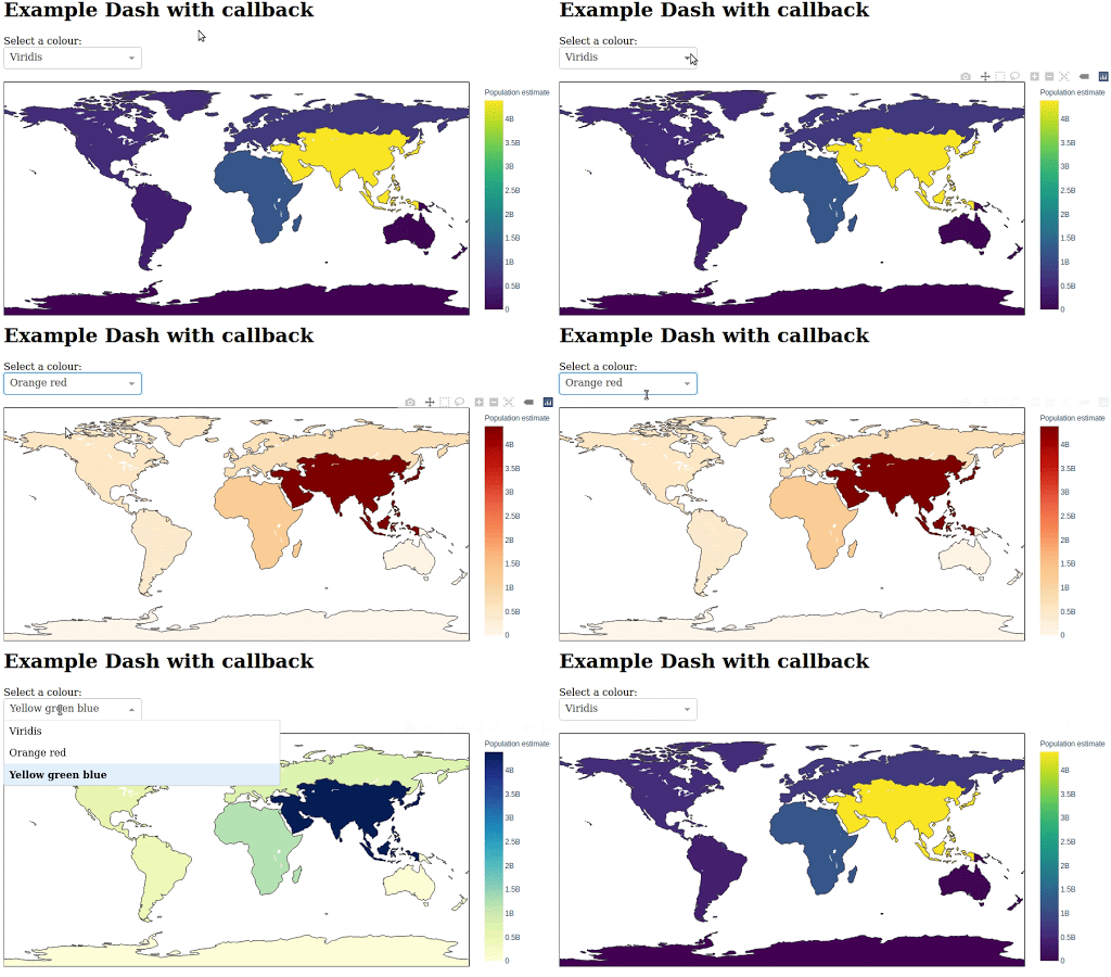
This repo contains supplementary code (as a Jupyter notebook) for a presentation on the CARD:Live dashboard. This will walk you through using Python Dash to create an interactive dashboard and plot geographic information.
The easiest way to run this code is via binder. This will launch a virtual machine in the cloud with all the dependencies installed and open up Juptyer for you to follow along.
To get started, please click the following:
Note: The Dash portion of the Juptyer notebook does not work in Binder. However, all the other code (Python pandas, geopandas, and plotly) will work.
Instead of Binder, if you wish to install and run this code locally please install the below dependencies and run the following.
conda activate cardlive-presentation
juptyer lab
You should now have Juptyer Lab running on http://localhost:8888 where you can load up the Juptyer notebook. You can also view the Jupyter Notebook at cardlive-presentation-code.ipynb.
To run the Jupyter notebook locally you will need to install a number of dependencies. Please first install conda and then run the following commands to install the rest of the dependencies:
# Create/activate conda environment
conda env create -f environment.yml
conda activate cardlive-presentation
The Dash/Plotly/Jupyter integration requires some additional commands given below:
# First install nodejs. I could not get the proper version installed via conda so I am installing from the website.
mkdir dependencies
cd dependencies
wget https://nodejs.org/dist/v12.18.3/node-v12.18.3-linux-x64.tar.xz
tar -xvvf node-v12.18.3-linux-x64.tar.xz
export PATH=$PWD/node-v12.18.3-linux-x64/bin:$PATH

# Step 2: Install Jupyter Plotly extension
jupyter labextension install jupyterlab-plotly