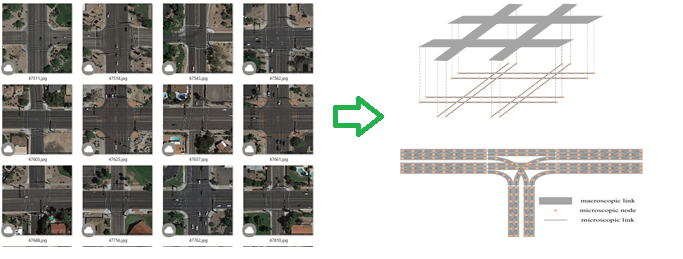
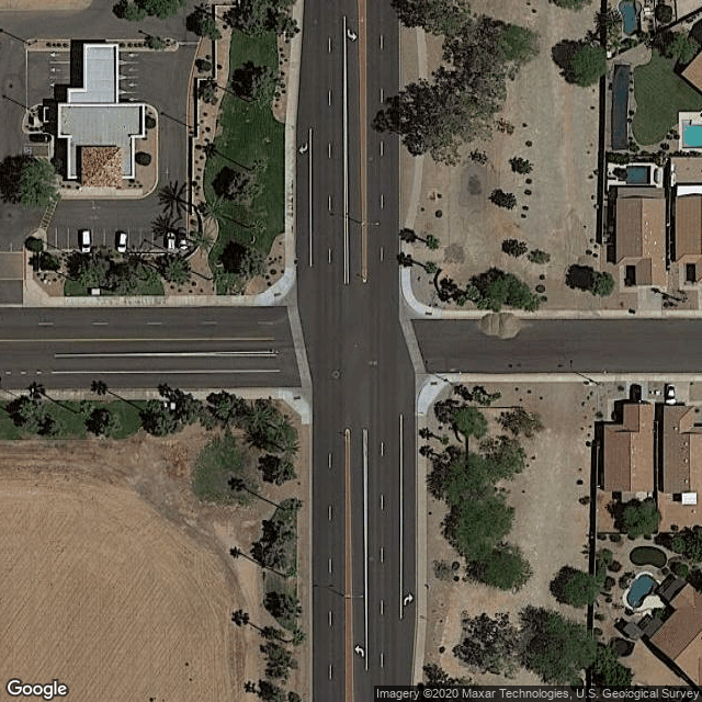
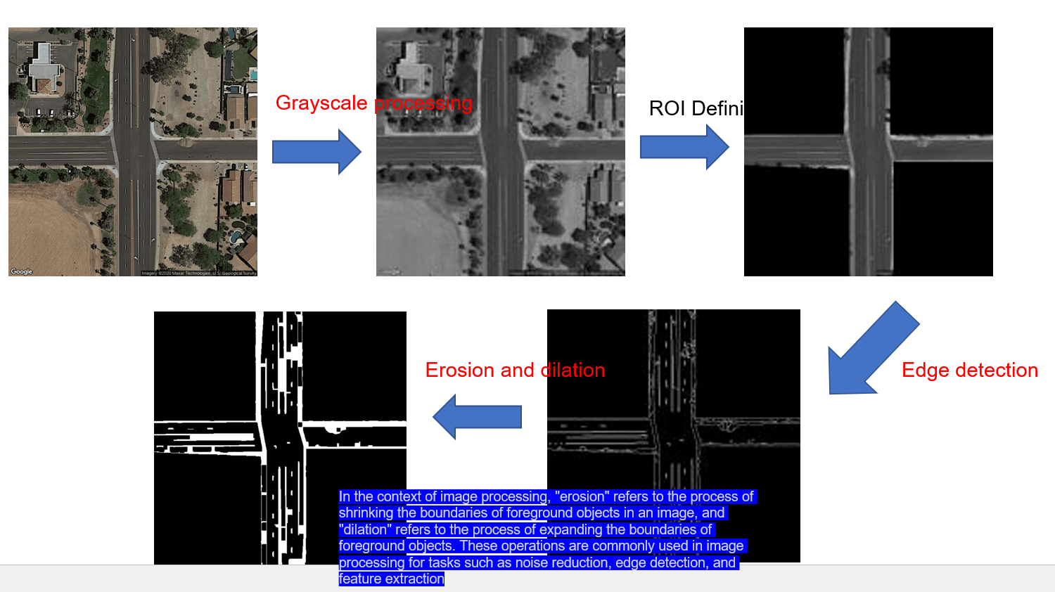
Transportation networks are crucial for efficient traffic planning and operation. However, obtaining accurate movement information at intersections is often challenging and time-consuming. To address this issue, we propose a machine learning-based approach that uses publicly accessible satellite images from Google maps to automatically identify movement information for each intersection.
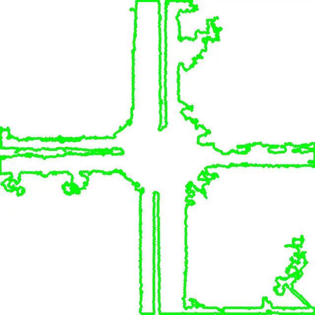
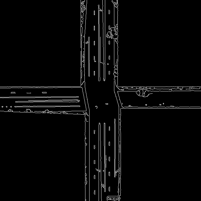
Our approach involves developing a customized deep learning model to extract movement information from satellite images. With this model, researchers can easily generate movement information for all intersections in a given area without relying on labor-intensive manual work.
To evaluate the effectiveness of our proposed method, we collected a large set of intersection data in Arizona, US. Our results demonstrate that our approach is highly accurate and efficient, making it an ideal solution for producing movement information for intersection modeling and management tasks.
By leveraging the power of AI, our method offers a cost-effective and scalable solution for improving transportation network data quality and efficiency. This has the potential to significantly benefit traffic planning and operation tasks, ultimately leading to better traffic management and improved traffic flow.
