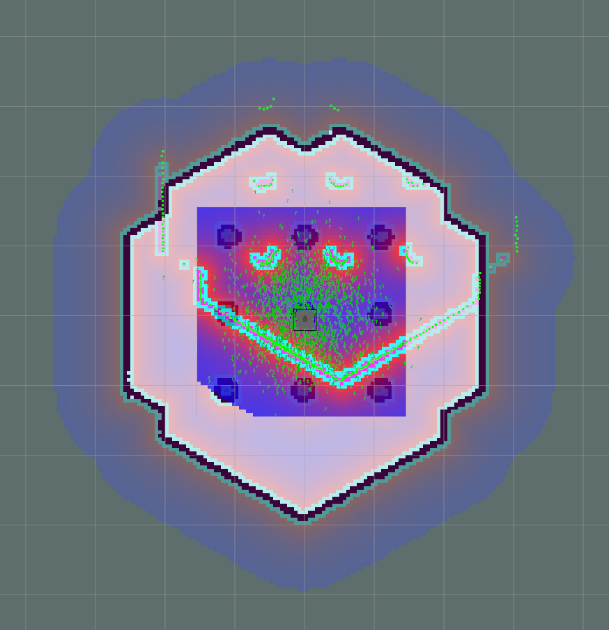
RRT* is implemented in Matlab and with ROS + turtlebot simulation
Project 5 is done in ROS and Gazebo with C++
- Turtlebot 3 was used.
- The world is first converted to 2D map with SLAM.
- The radius of the robot is traced around the obstacle to plan for a point robot. (Matlab was used).
- The main code plans the path and publishes positions to the amcl local planner
- Running code Requires OpenCV installation:
https://docs.opencv.org/3.4.0/d7/d9f/tutorial_linux_install.html
 sudo apt-get install build-essential
 sudo apt-get install cmake git libgtk2.0-dev pkg-config libavcodec-dev libavformat-dev libswscale-dev
 sudo apt-get install python-dev python-numpy libtbb2 libtbb-dev libjpeg-dev libpng-dev libtiff-dev libjasper-dev libdc1394-22-dev
- Install matplotlib for python for the plot to work.
- Run main.m file in RRT* on MATLAB code folder.
-
Install dependent ros packages for turtle bot http://emanual.robotis.com/docs/en/platform/turtlebot3/pc_setup/#install-dependent-ros-packages
-
Follow this link on guide to SLAM the workspace first:
http://emanual.robotis.com/docs/en/platform/turtlebot3/slam/
-
Create a costmap and name it point_map.png file
-
Load model variable
export TURTLEBOT3_MODEL=waffle
- Launch simulation or the robot. To run with simulation,
$ roslaunch turtlebot3_gazebo turtlebot3_world.launch x_pos:=-2 y_pos:=0.5
To run with turtlebot3 bringup the robot.
- Start navigation package
$ roslaunch turtlebot3_navigation turtlebot3_navigation.launch map_file:=/location_of_project/maps/map.yaml
You should see the robot sensor data miss aligned with the actual map like below.

-
Indicate Location of robot on map with 2D pose estimate in Rviz.
-
Run the planner after setting the start and end point in the code and catkin_make.
$ rosrun rrt_star_path_planning_turtlebot rrt_demo map_file:=/location_of_project/maps/point_map