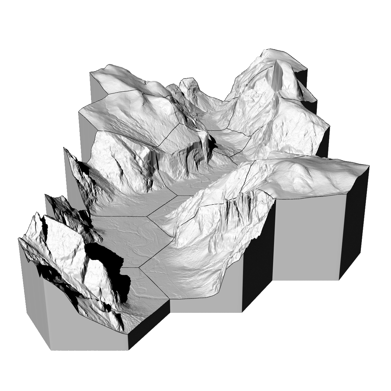
In this studio you will learn computational methods for ecological modeling and use them to plan and design habitat corridors for the Yellowstone to Yukon conservation initiative. This studio will introduce advanced topics in landscape ecology and biodiversity conservation such as shifting ecological baselines, process-form interaction, systematic conservation planning, and climate change adaptation. You will learn how to model ecological patterns and simulate ecological processes using Geographic Information Systems (GIS). You will learn visual programming, geospatial programming in Python, digital fabrication methods, and advanced 3D rendering. You will apply these theories and methods to plan an ecological network with habitat corridors to reconnect fragmented landscapes. Each week you will spend a day in a seminar discussing ecological theory and its applications, a day in a workshop learning new computational methods, and a day developing your projects. There will be an optional field trip to Yellowstone National Park.
Topics landscape ecology | form and process | shifting baselines | digital fabrication | geospatial programming | suitability | viewsheds | urbanization | fire simulation | flood simulation | landscape planning
Themes | island biogeography | corridors | prioritization | biodiversity hotspots | dynamic reserves | shifting baselines | range shift | fragmentation
Assignments | Projects
Resources | Geospatial data sources
Software | GRASS GIS | Rhino | Blender
Add-ons | LCorridors | Itzi | r.geomorphon | r.skyview | r.stream | r.sun.daily | [r.viewshed.cva][https://grass.osgeo.org/grass74/manuals/addons/r.viewshed.cva.html] | r.futures | RhinoTerrain | RhinoCAM | BlenderGIS | LowPoly Factory
Libraries | Xfrog
Tutorials | Intro to GRASS GIS | lecture.lsu.edu/ | BlenderGIS wiki
Field Trip: | Yellowstone
- Landscape ecology
Project: | Mapping and analysis
- Ecological modeling
Project: | Planning methodology
- Landscape planning
Project: | Landscape planning
Open educational materials licensed CC BY-SA 4.0 by Brendan Harmon 🐵. The license does not apply to logos, fonts, linked material, quotations, or reprinted images by other authors, which may have different licenses. The fonts used in this repository are licensed under the SIL Open Font License by their authors. The syllabus is based on a latex template by Kieran Healy hosted at https://github.com/kjhealy/latex-custom-kjh.

