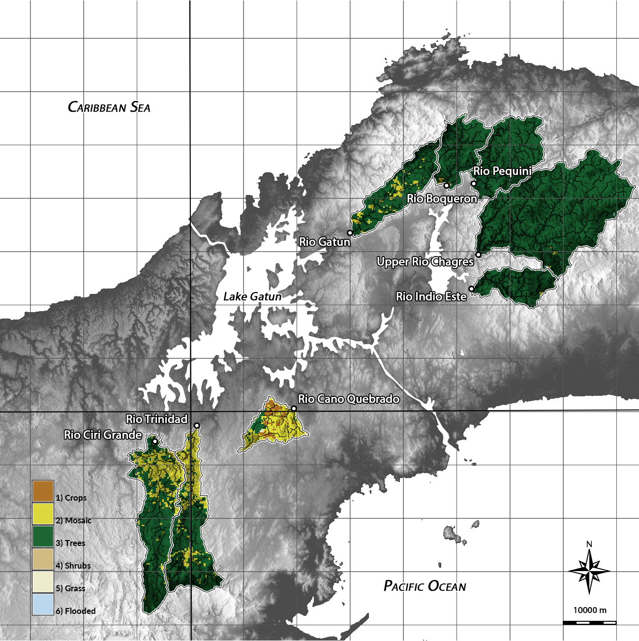
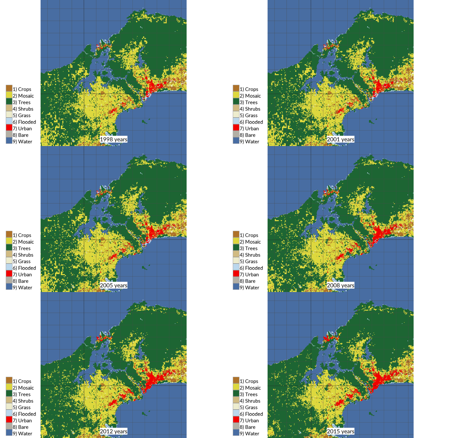
A python script for hydrological modeling, morphometric analysis, and landcover time series analysis in GRASS GIS. Part of the Geochemistry of Source Rivers to the Greater Panama Canal Watershed project that aims to better understand and quantify the physical, chemical, and climatic processes that control the chemistry of rivers in Panama.
GNU General Public License >= version 2
The data and results for this project are hosted in the repository https://osf.io/bx5y6/ on the Open Science Framework under the CC0 1.0 Universal license.
Before running the script install the following GRASS GIS add-on modules with g.extension:


