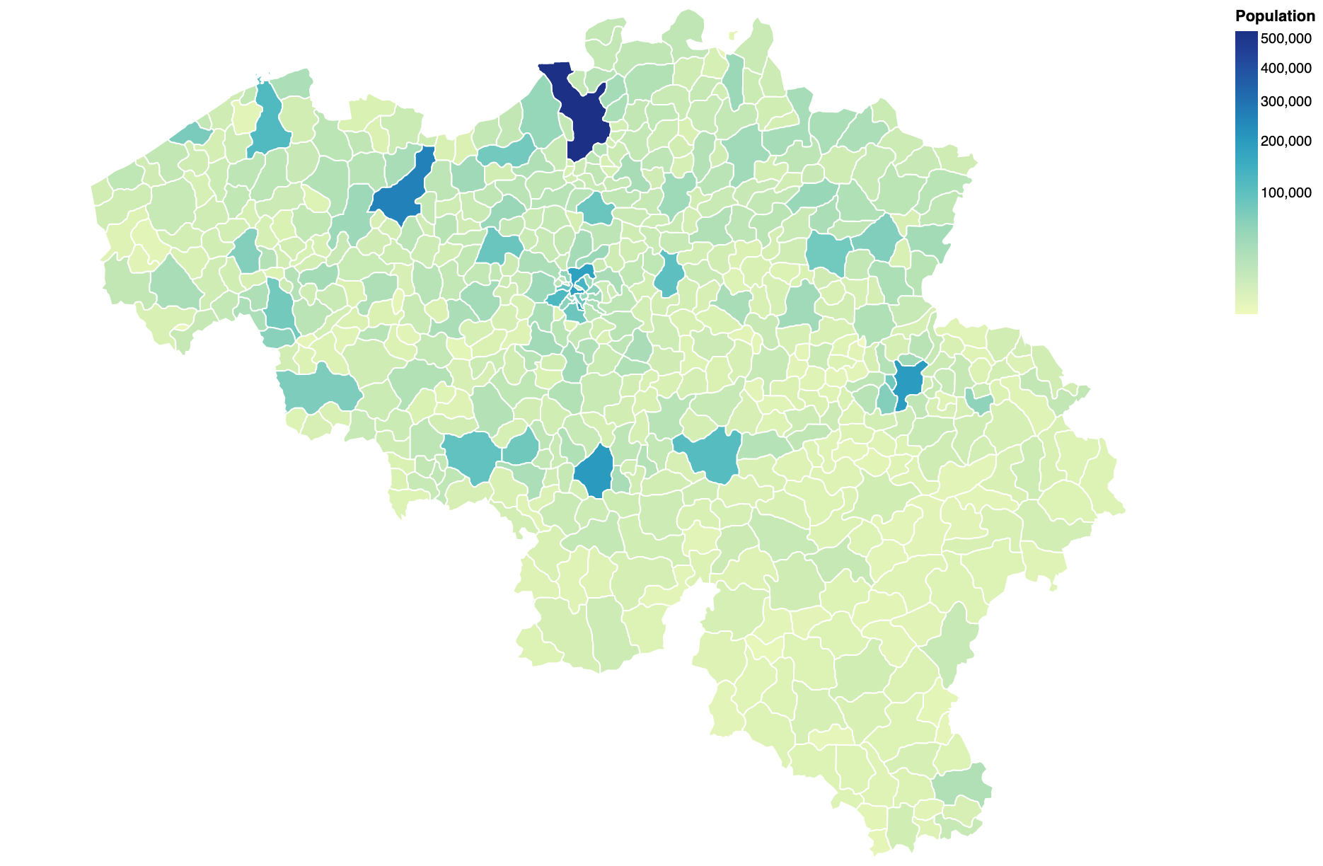
The repository contains a topojson file (belgium.json) of the Belgian municipalities, arrondissements and provinces. These objects and properties are available:
- municipalities
nis: NIS codename_nl: name in Dutchname_fr: name in Frenchreg_nis: NIS code of the regionreg_nl: region name in Dutchreg_fr: region name in Frenchprov_nis: NIS code of the provinceprov_nl: province name in Dutchprov_fr: province name in Frencharr_nis: NIS code of the arrondissementarr_nl: arrondissement name in Dutcharr_fr: arrondissement name in Frenchpopulation: population on 01/01/2020
- arrondissements
nis: NIS codename_nl: name in Dutchname_fr: name in Frenchreg_nis: NIS code of the regionreg_nl: region name in Dutchreg_fr: region name in Frenchprov_nis: NIS code of the provinceprov_nl: province name in Dutchprov_fr: province name in French
- provinces
nis: NIS codename_nl: name in Dutchname_fr: name in Frenchreg_nis: NIS code of the regionreg_nl: region name in Dutchreg_fr: region name in French
The notebook at https://observablehq.com/@bmesuere/topojson-example shows an example of how to use the topojson file in combination with Vega-lite. You can load the file directly from GitHub using this URL:https://raw.githubusercontent.com/bmesuere/belgium-topojson/master/belgium.json.
The base map is taken from arneh61. While the geo-part of this map is great, the properties aren't that useful. Naming of the properties is all over the place and the nis code (needed to join with other data sources) isn't present.
If you wish to modifiy the properties, you can modify the join_data.js script to create a new topojson file. Simply run run.sh to generated a new belgium.json file
- source topo json files: https://github.com/arneh61/Belgium-Map
- REFNIS_2019.csv (converted to urf8): https://statbel.fgov.be/nl/over-statbel/methodologie/classificaties/geografie
- bevolking_per_gemeente.csv: https://statbel.fgov.be/nl/open-data/bevolking-naar-woonplaats-nationaliteit-burgerlijke-staat-leeftijd-en-geslacht-10
