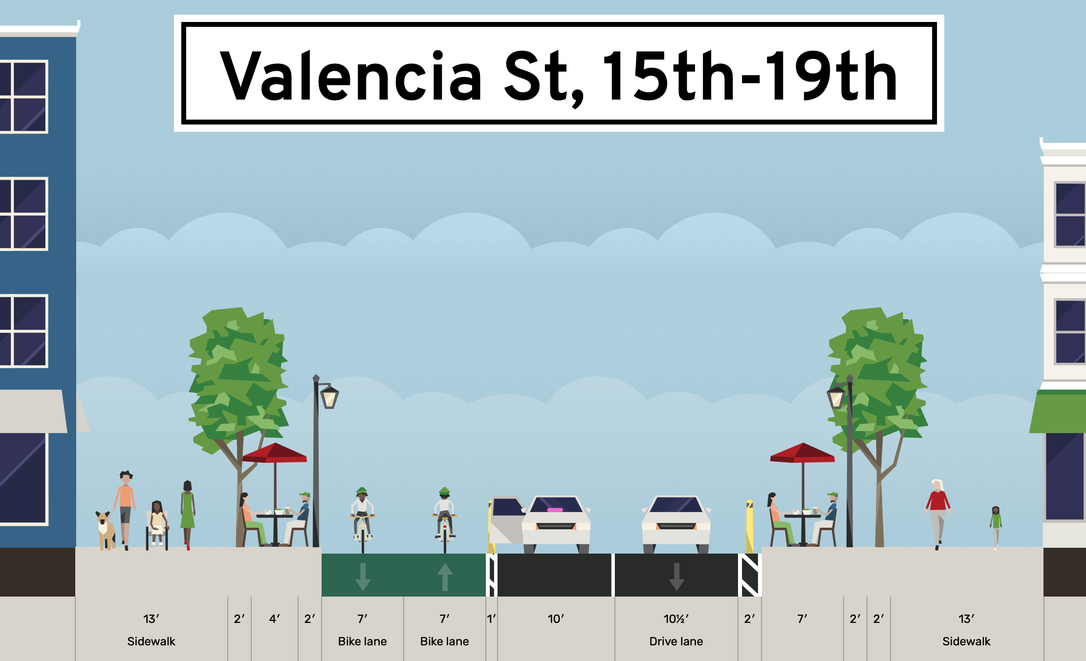
Behold a modest proposal to add a two-way protected cycletrack on the east side of Valencia St and converting the west lane to one-way traffic, with lots of 10-minute loading zones for food pickup and commercial delivery and rideshare alongside lots of parklets and more human-friendly space. Also, the bikeway doubles as an emergency response lane.
Valencia St is a geometry problem. Rideshare, commercial loading, and food pickup/delivey aren't going away, and neither are parklets or cyclists. While I'd love Valencia to be a car-free pedestrian promenade, that's not going to happen any time soon. I'm also not a big fan of the rumors I'm hearing about bike lanes down the center of Valencia -- paint and post are not going to keep cars out. But reallocating one lane of car traffic for wide, protected bike lanes, making more room for parklets, and making it easier for commercial traffic? Anyone can still drive on Valencia. Everyone gets something, and everyone is safer.
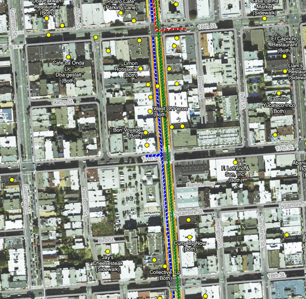
Zoomable map: marching ants indicate direction of travel. There are increasing levels of road detail and parklets visible as you zoom in.
- By making wide two-way bike lanes, not only can families and friends ride alongside each other, SFFD can use them for emergency response like they do the red bus lanes.
- You could flip this alternating one-way pattern for each block, hard to say which is optimal.
- I originally considered alternative the direction of the one-way traffic each block, but that would require new traffic signals which is time and more money that you woudl ever expect.
- Extra space in the orange parklet zone not actually used by parklets would be more space for pedestians -- basically wider sidewalks and more space for bike parking for "roll-up shopping".
- I'd go as far as to suggest no eastbound turns off of Valencia, but if you do allow them, you'd obviously have protected intersections.
- 14th to 19th is the narrowest part of Valencia, and raises some of the biggest question on how to allocate space for commercial access after a two-way cyclepath and parklets are in place.
- What does traffic looks like north of 14th and south of 24th? The streets are wide enough to have two way traffic and a protected two-way cyclepath.
- Assuming loading islands for school drop-off at Synergy and Buena Vista-Horace Mann. These could be used for general parking outside of school loading hours as is done along 14th.
- Muni has a few lines to consider -- 27 (24th to CC), 12 (26th to CC), 55 (16th-15th), but I believe is non-revenue so maybe it turns on Guerrero?). There's also need for counterflow SFPD access along 18th.
- Privately owned cars could park in the commmercial loading zone overnight. Would also need blue zone / accessible parking spots.
- Curblines are from 2019, via data.sf.gov.
- The width of the lines are largely to scale when you zoom all the way in.
tangram.js, Tilezen, 2019 curblines from data.sf.gov.
https://data.sfgov.org/City-Infrastructure/City-curbs-and-islands/4s5e-m4gv
There is no raw data available for Shared Spaces on data.sfgov.org, just a published map, but I used my mappy powers to liberate it for the purpose of this exercise.
Shared Spaces GeoJSON (reformatted to 4326)