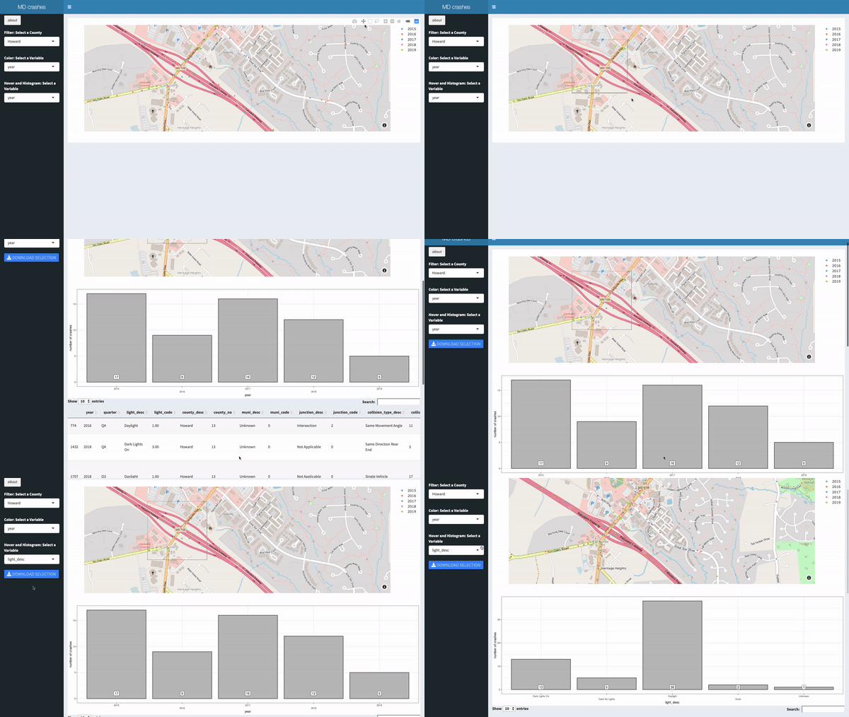
This a Shiny App, hosted here, developed to interactively visualize geocoordinates of the Maryland Crashes (2015-2019).
It uses Mapbox and Plotly to create interactive maps.
Box Select and Lasso Select allow to visualize data of geolocation
subsets and to download csv files.
